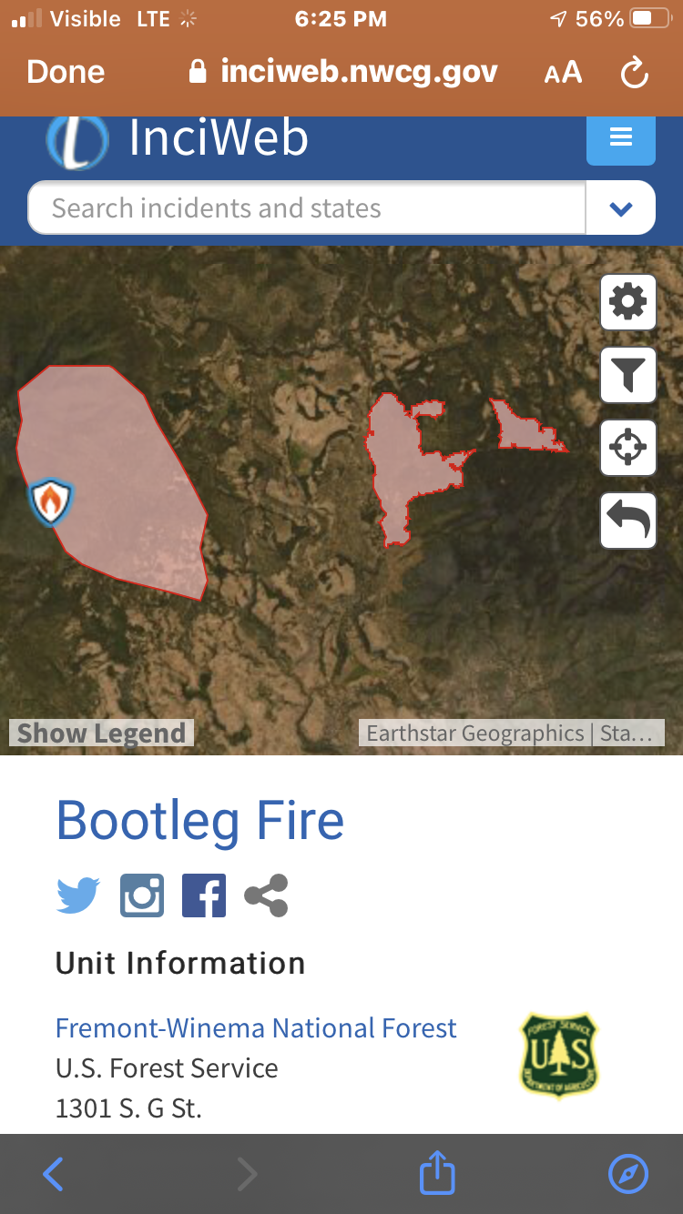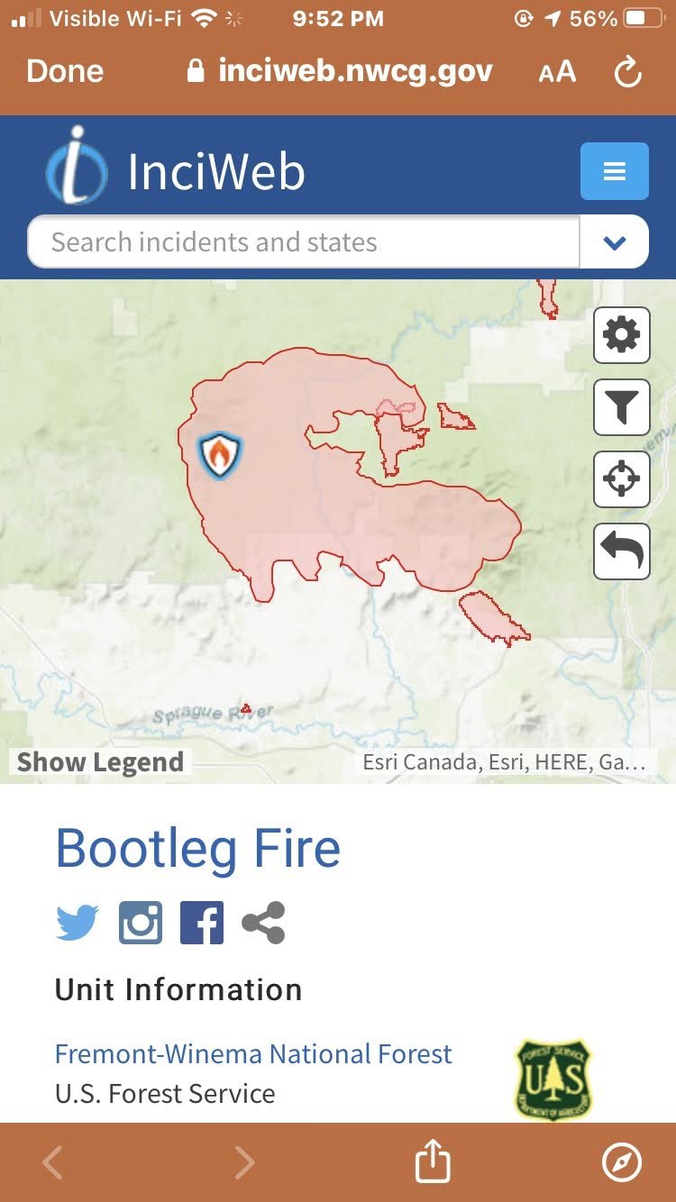
Bootleg Fire
Jul 6, 2021 – Aug 15, 2021
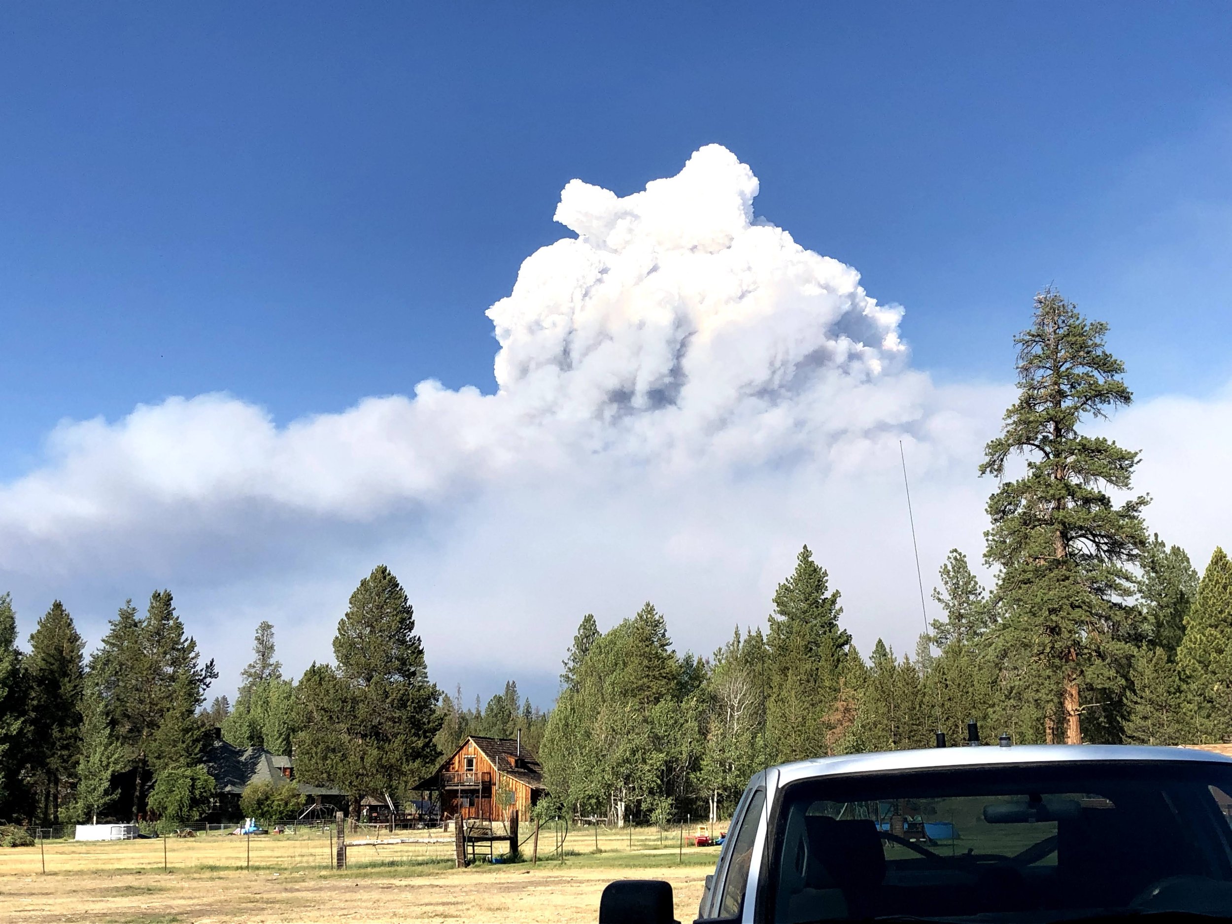
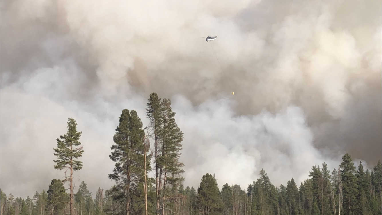
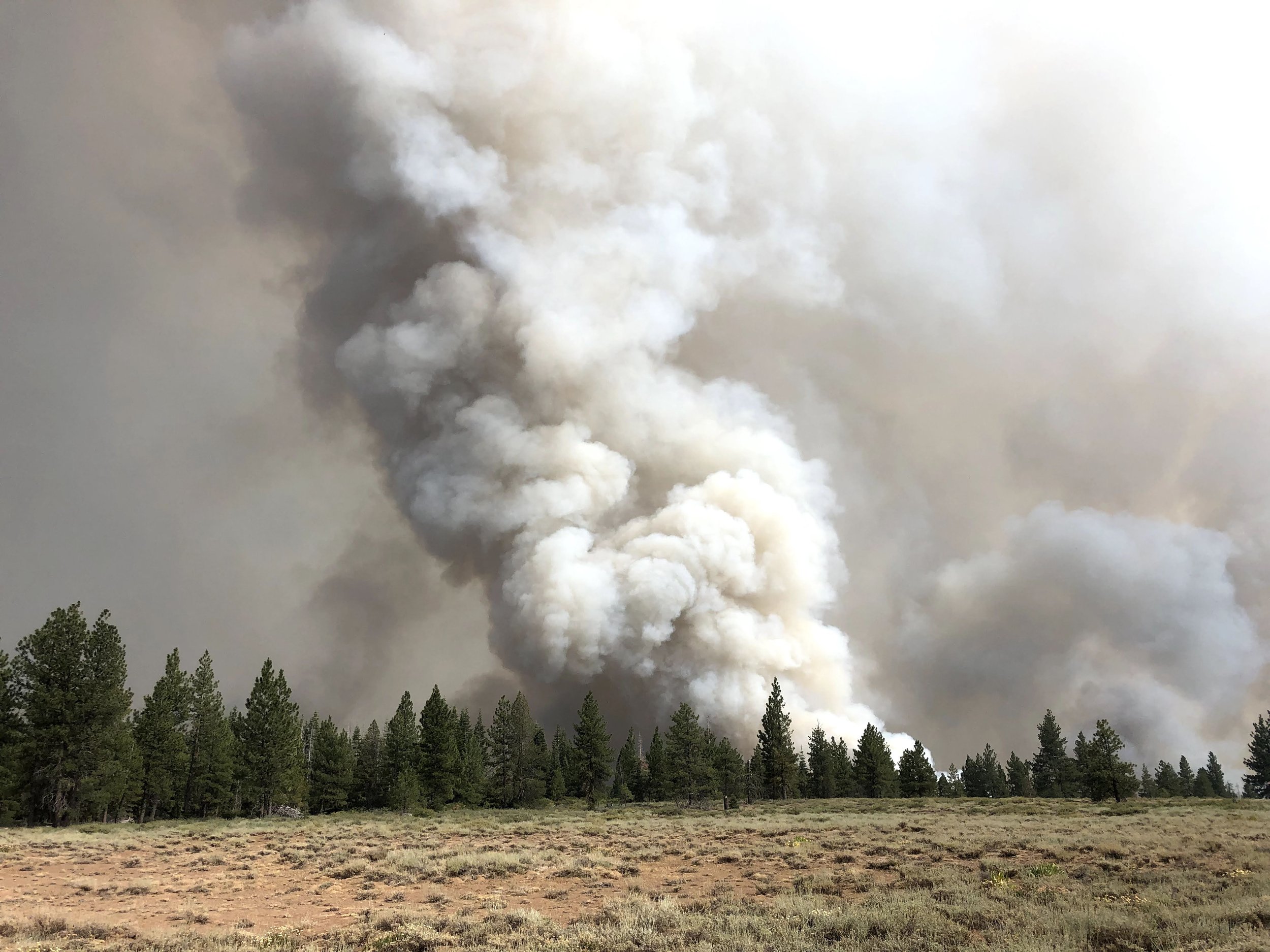
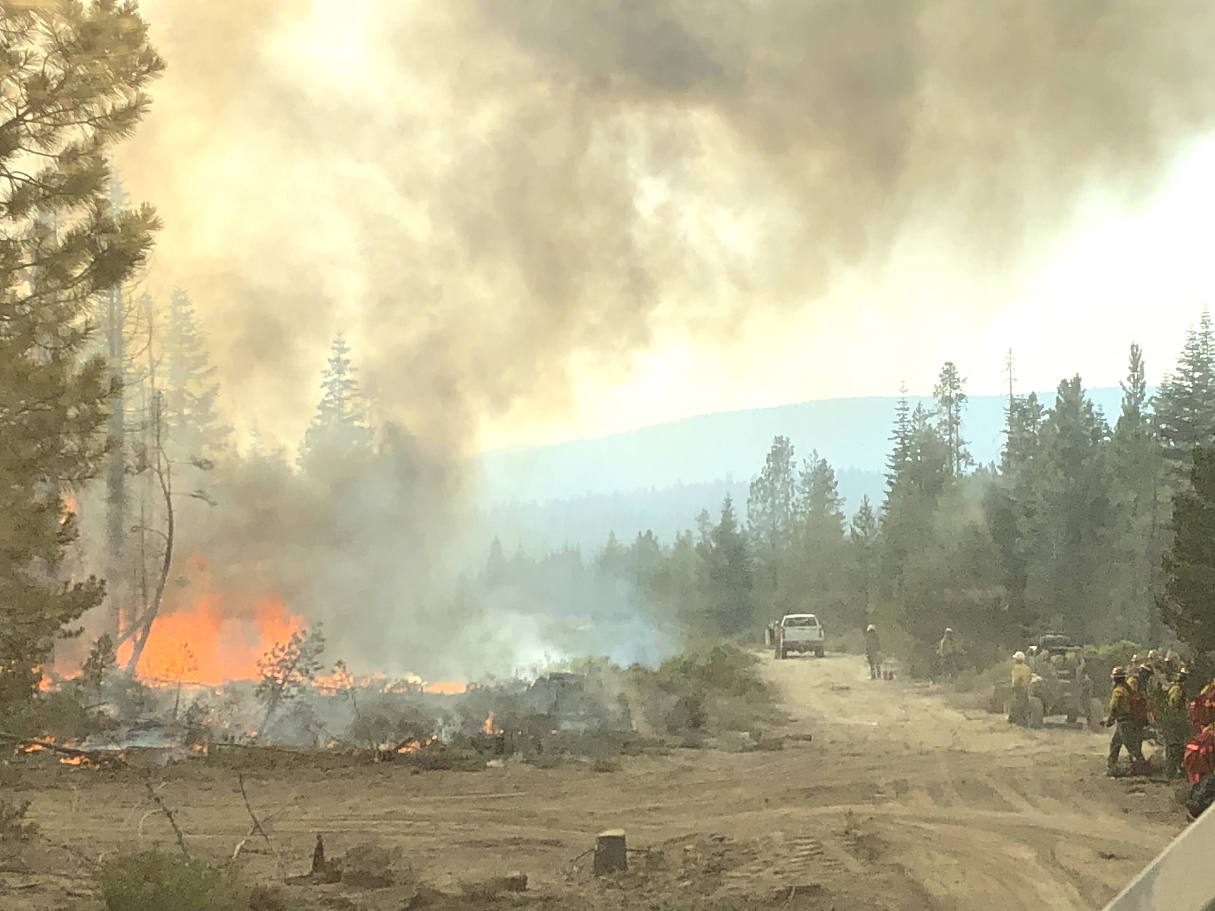
The Bootleg Fire, named after the nearby Bootleg Spring, was a large wildfire that started near Beatty, Oregon, on July 6, 2021. Before being fully contained on 15 August 2021, it had burned 413,765 acres (167,445 ha; 1,674 km2; 647 sq mi). It is the third-largest fire in the history of Oregon since 1900. At the fire's fastest growth in mid-July, it grew at about 1,000 acres (400 ha) per hour, and it became the second-largest wildfire in the United States of the 2021 wildfire season.
These are some of my observations while working the Bootleg Fire:
One of the main reasons the fire grew so quickly was compounded by extremely dry vegetation from many years of drought conditions. The vegetation was at its driest which helped it moved so quickly. Efforts to build fireline by utilizing the 500kva transmission lines buffer zone, owned by the Bonneville Power Administration, was not considered and led to the inability to cut dozer lines due to the 500kva overhead powerlines (500,000 VA) from being temporarily shut down. This allowed the fire to spread to a total of 647 square miles. Allowing those transmission lines to remain on to supply power to adjacent states is a major reason the fire spread so rapidly.
Additionally, I feel that the 4 “c”s of the incident command system didn’t work as hoped for:
1. Command - was left to young trainees to “cut their teeth” on this fire while being assisted by senior incident commanders. They did an outstanding job in terms of dedication, however, the delay in executing orders was, in my fervent opinion, too slow.
2. Control - daily activities began after the morning was well into the day, not capitalizing on the inversion. While an inversion tends to suppress fire intensity and growth overall, near the top of the inversion, a weather phenomenon known as the thermal belt often has a significant impact on wildland fire safety and control efforts.
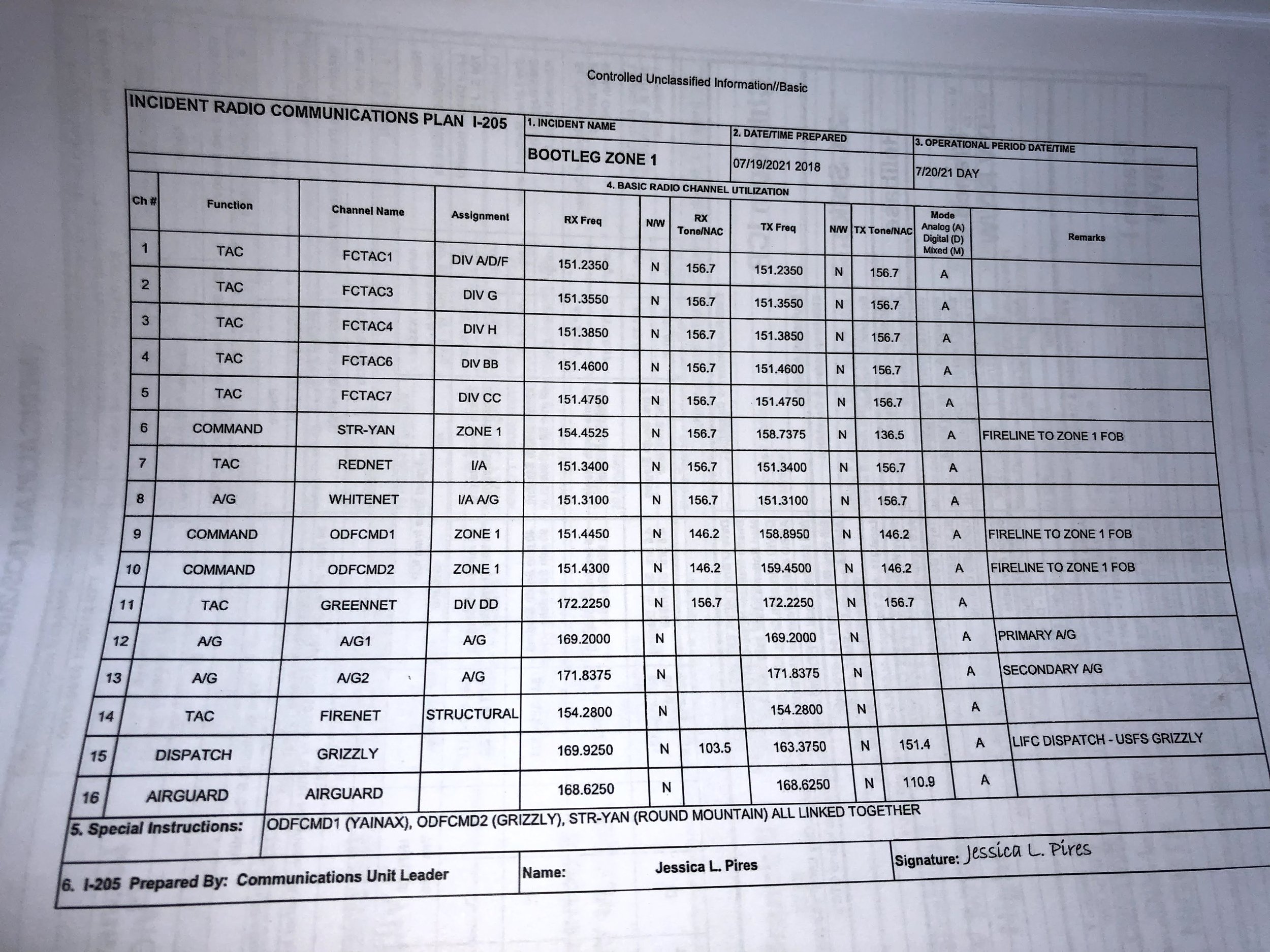
3. Communications- mountain terrain inhibited UHF/VHF, CB radio, and cell phone communications. Plus the temporary cell site was not installed in the best strategic location until after approximately 1 week of fire activity..
4. Coordination efforts were well planned, however passing the information from the morning briefings to the equipment bosses got the equipment operators out in the field to a very late start, after the inversion had lifted.
I’m sharing this so that the agencies in charge can better prepare and come up with an emergency switching plan to take down power at specific substations to allow utilizing the buffer zone under power transmission lines to be used as an additional fire break.
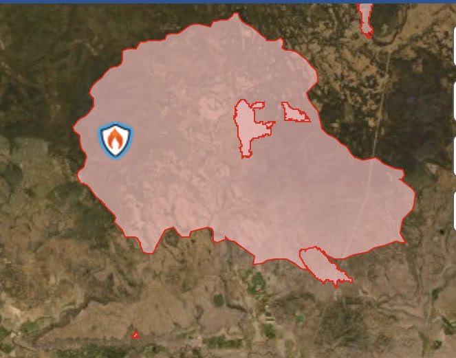
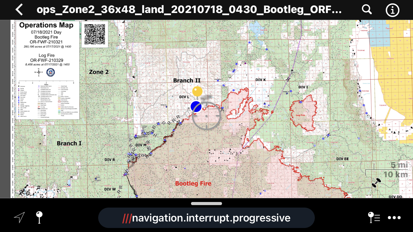
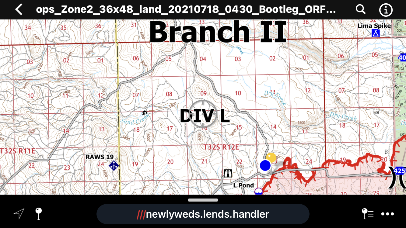
Additionally, the GIS maps created by USFS showed incorrectly placed assets. They incorrectly identified an underground gas line as an overhead power transmission line. This caused unnecessary flight path avoidance.
Incidentally, I made a multi-state power transmission distribution line map in ArcMap for a solar power plant investor prior to the bootleg. I knew the errors upon initial inspection of the very first Avenza map released by ODF. It took several days for the GIS team to remove the incorrect layer.
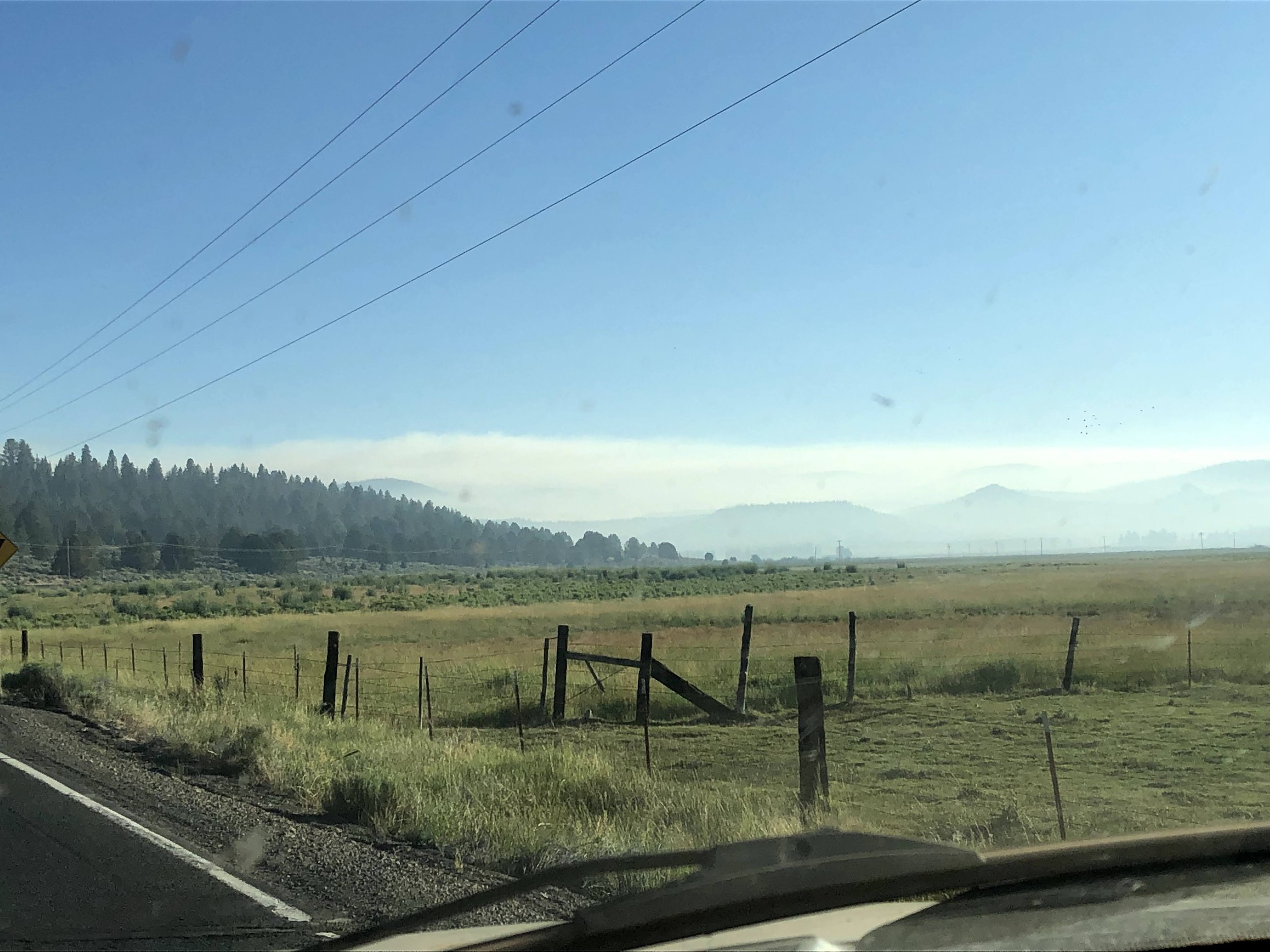
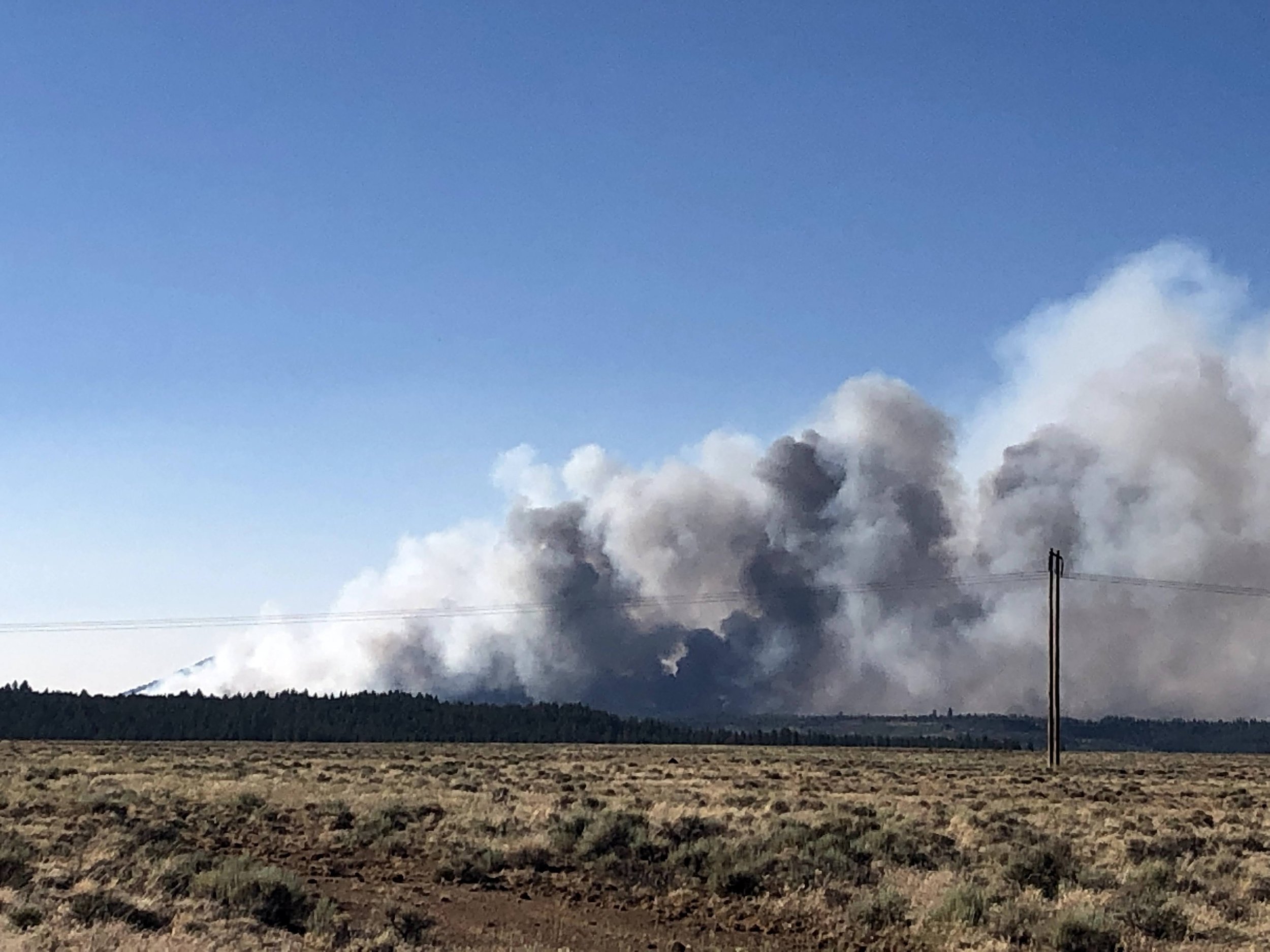
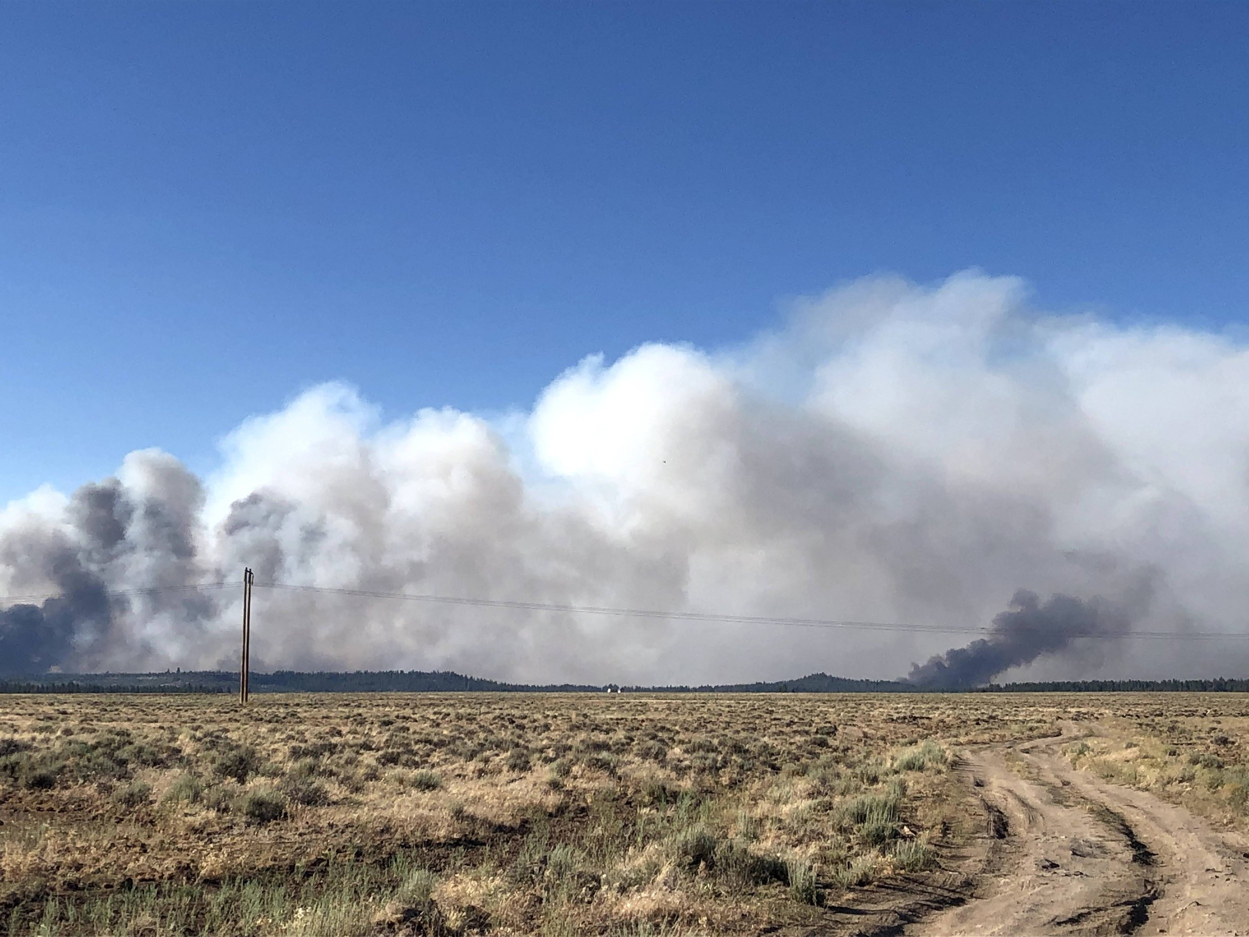
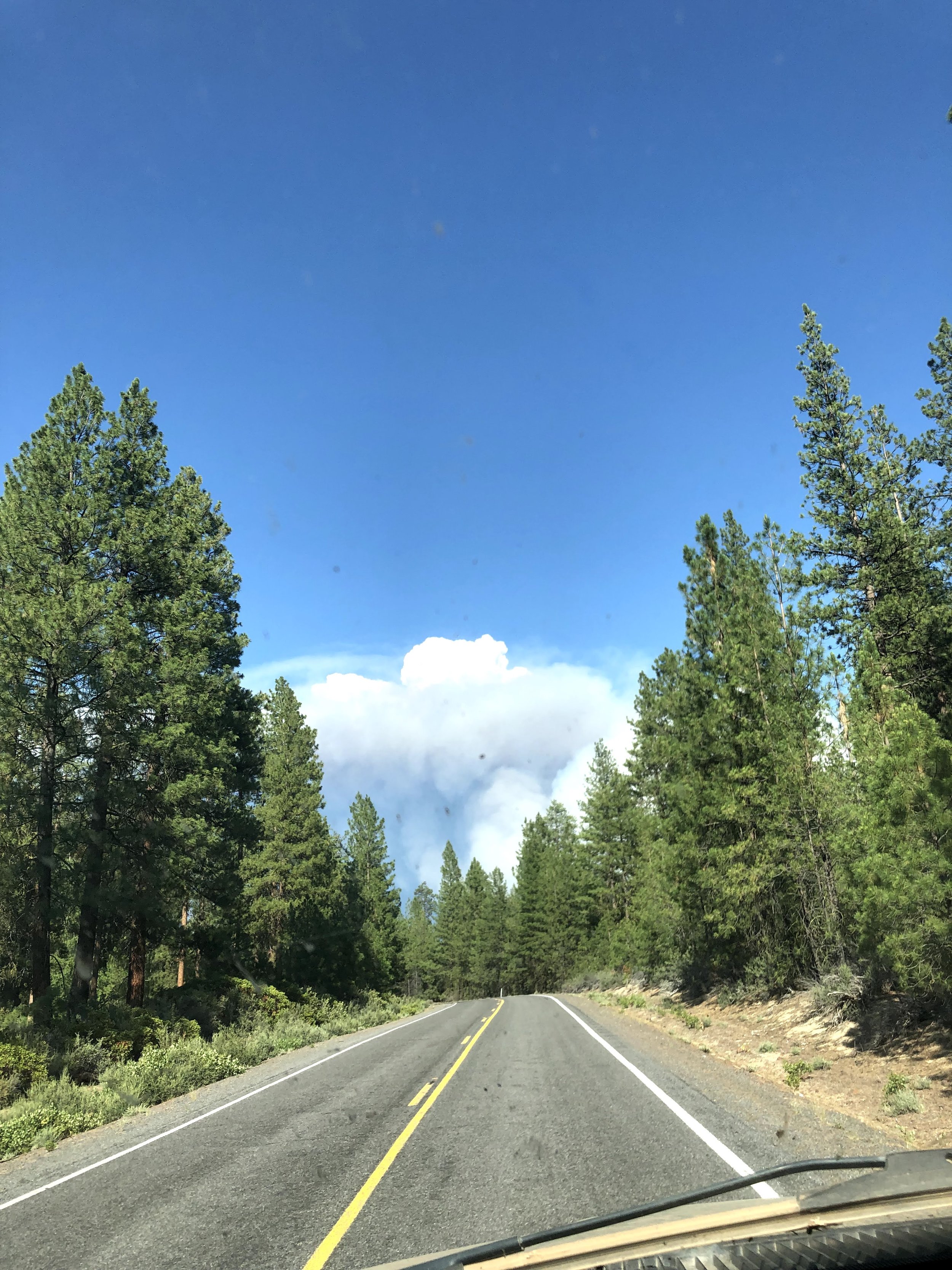
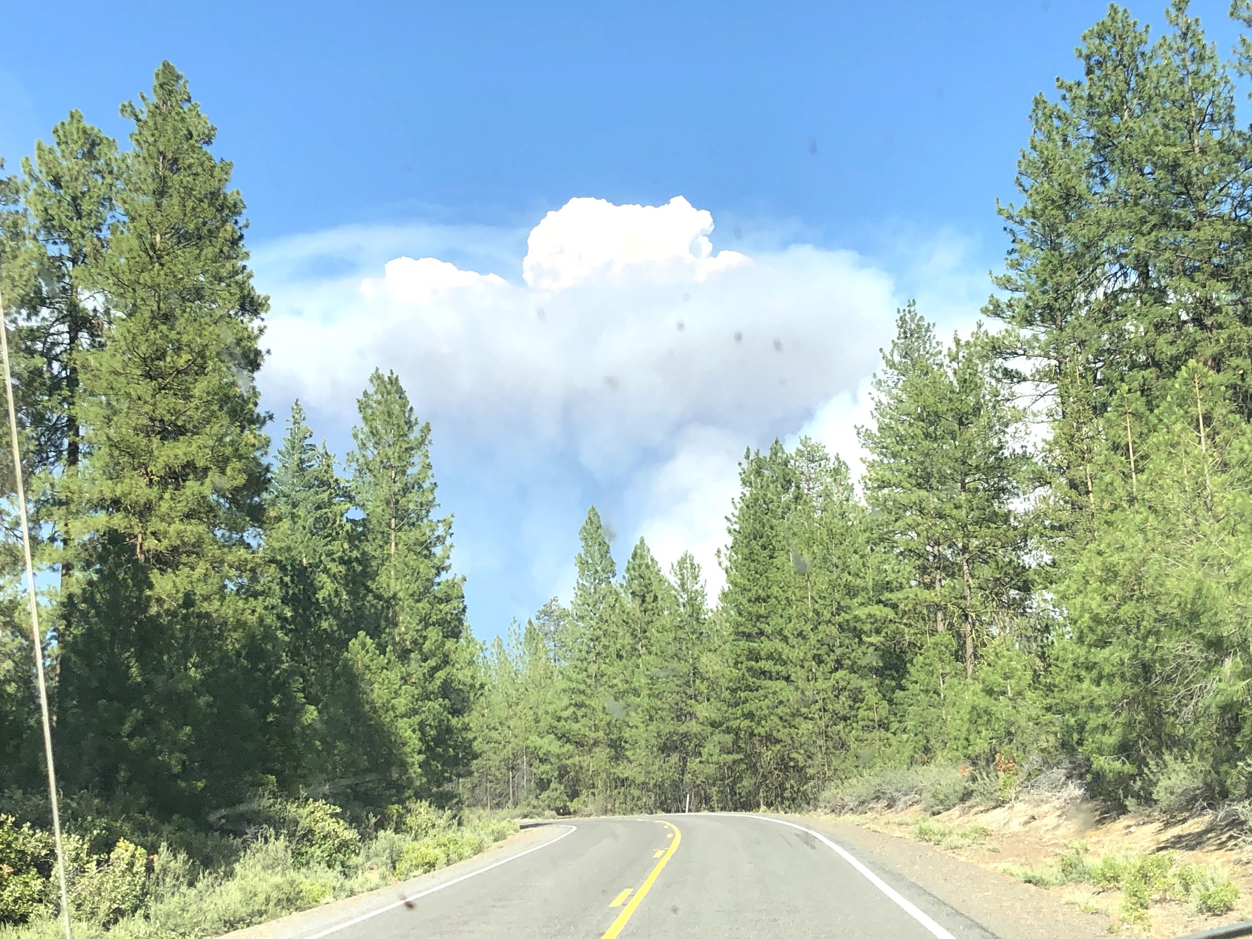
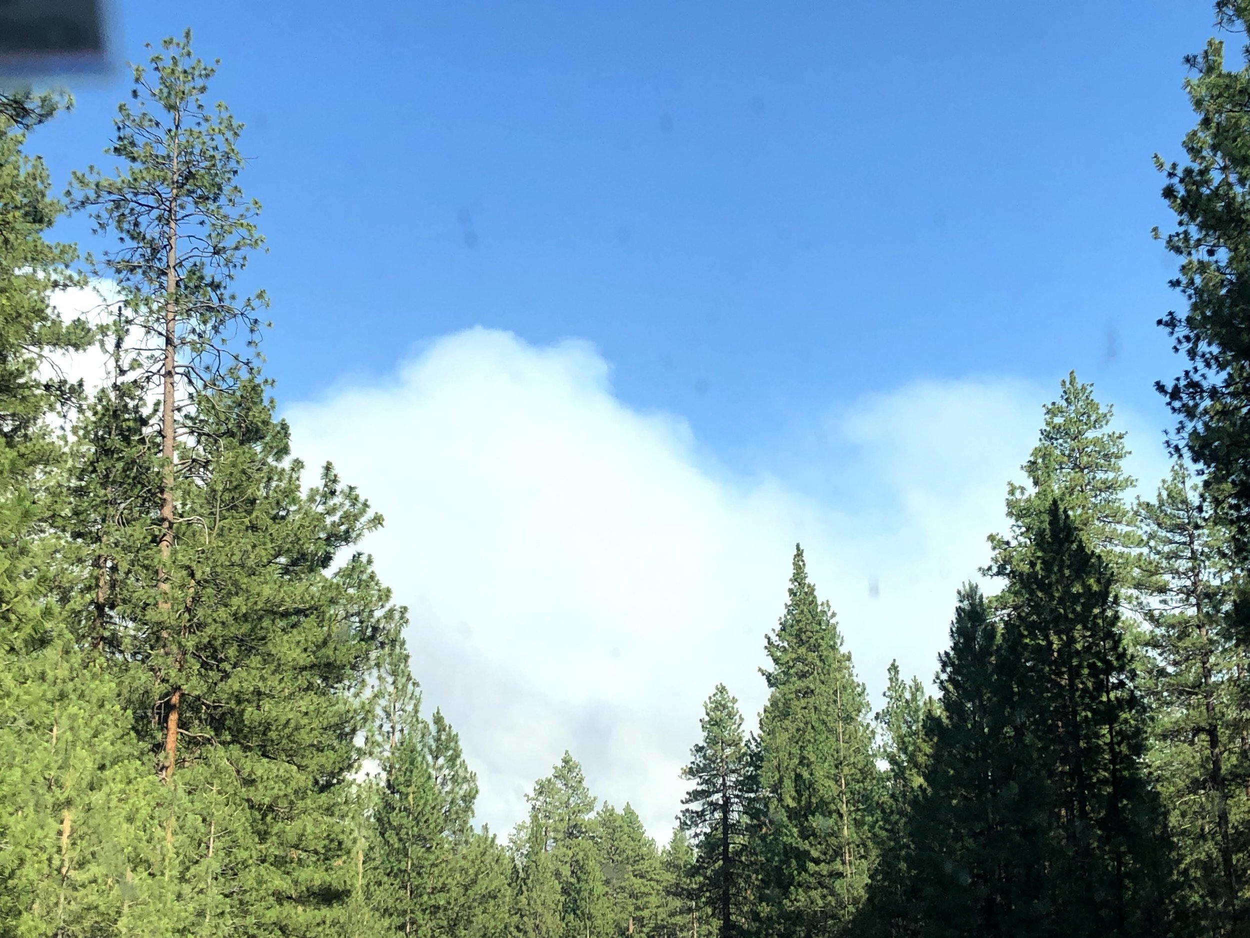
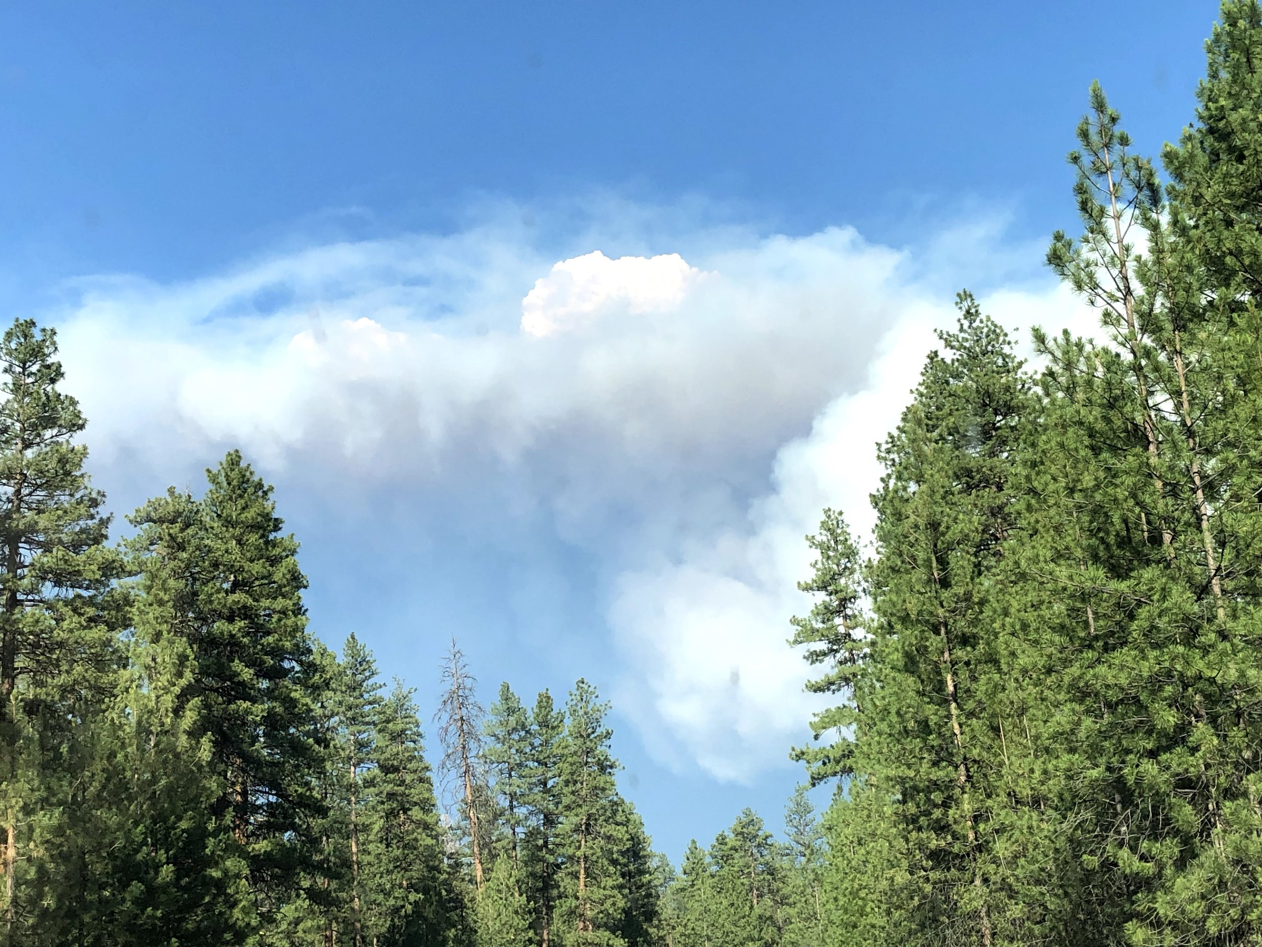
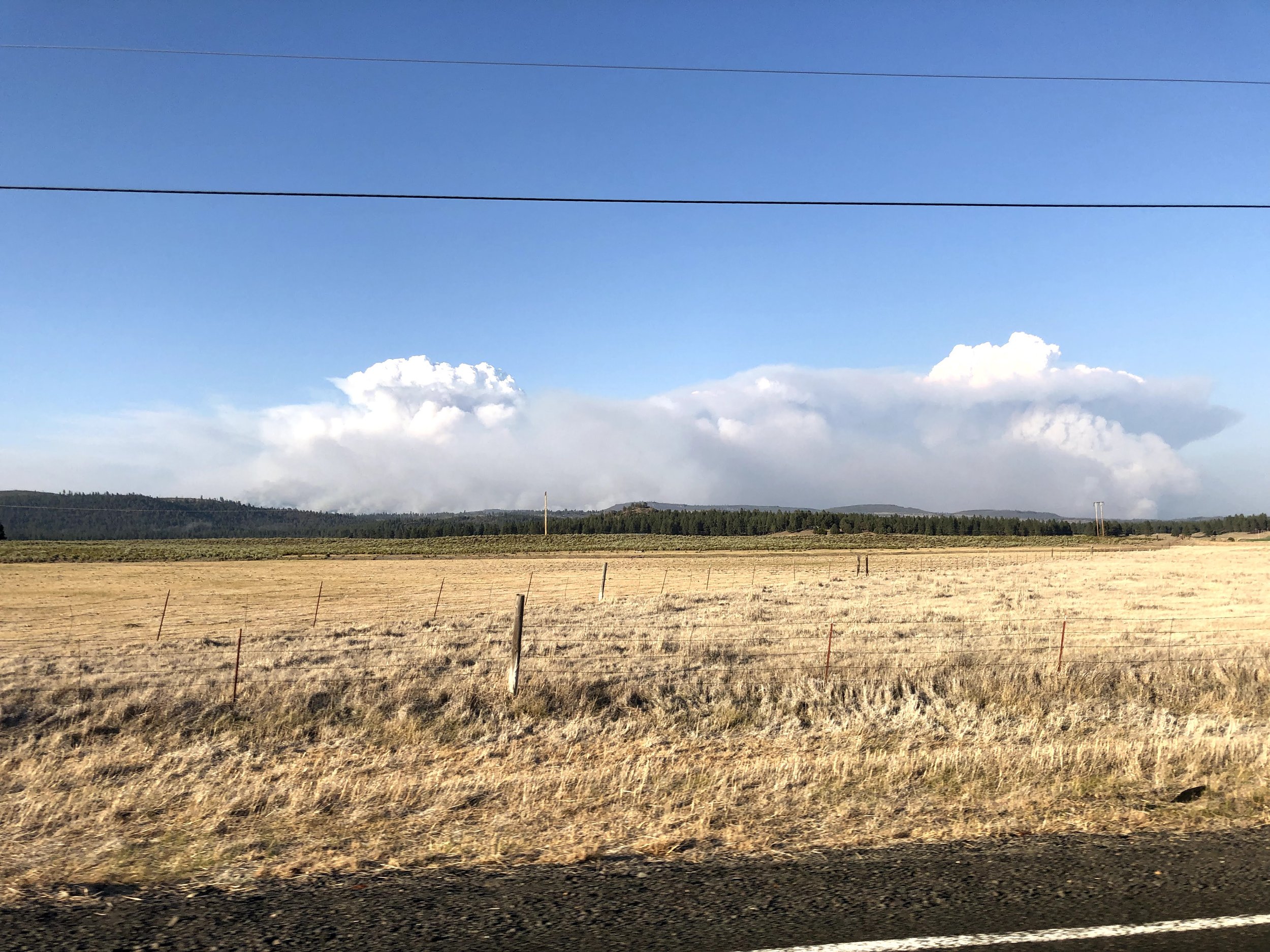
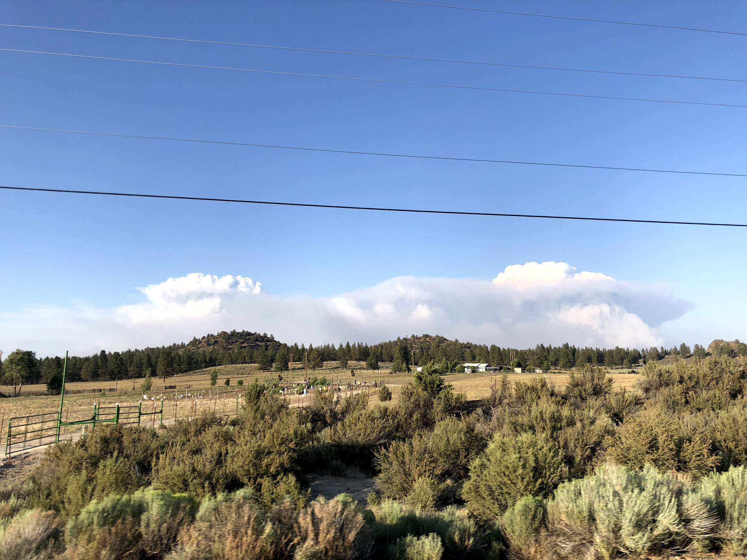
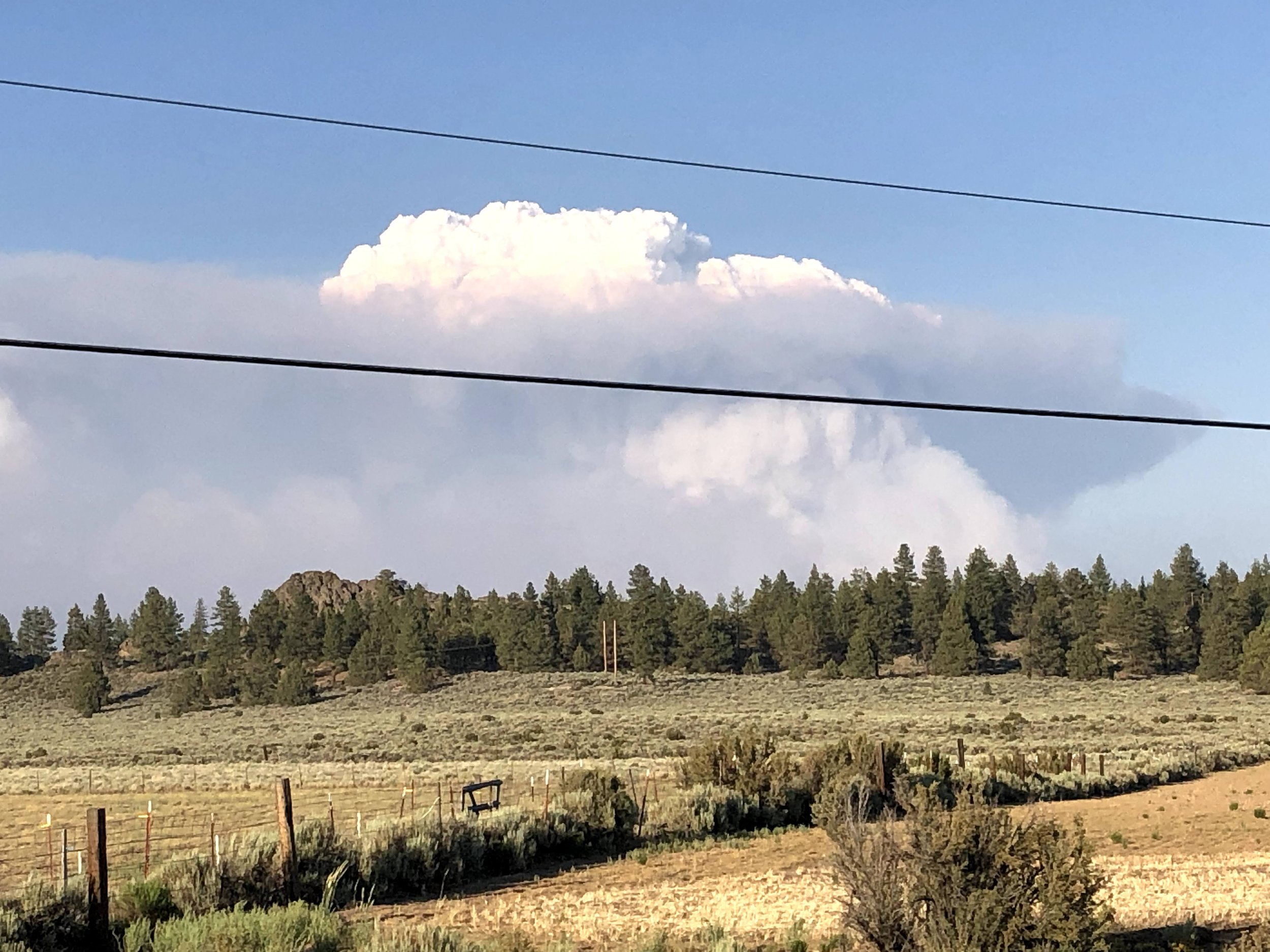
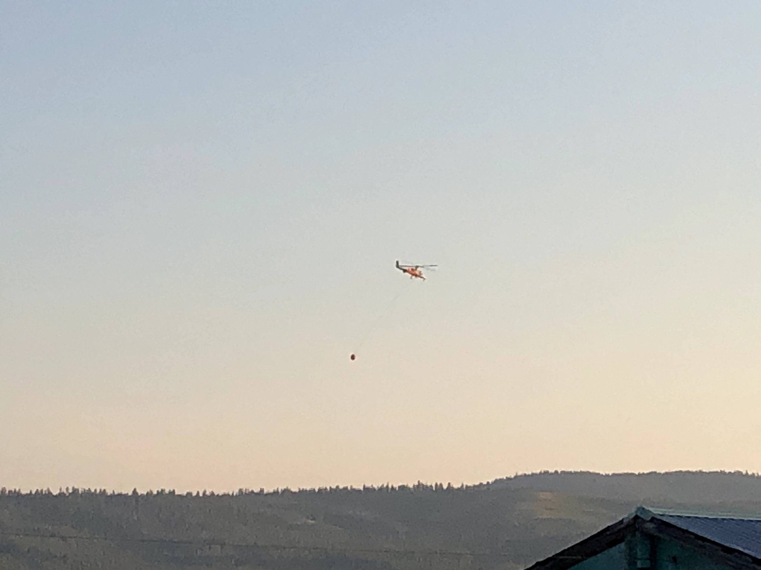
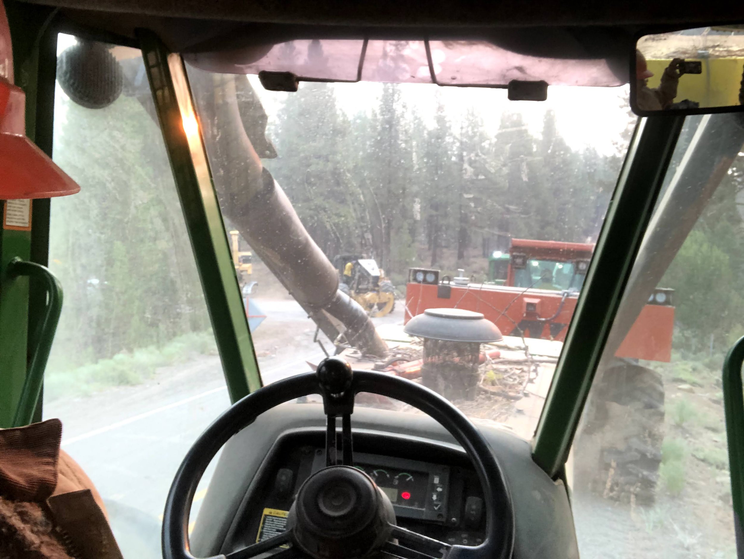
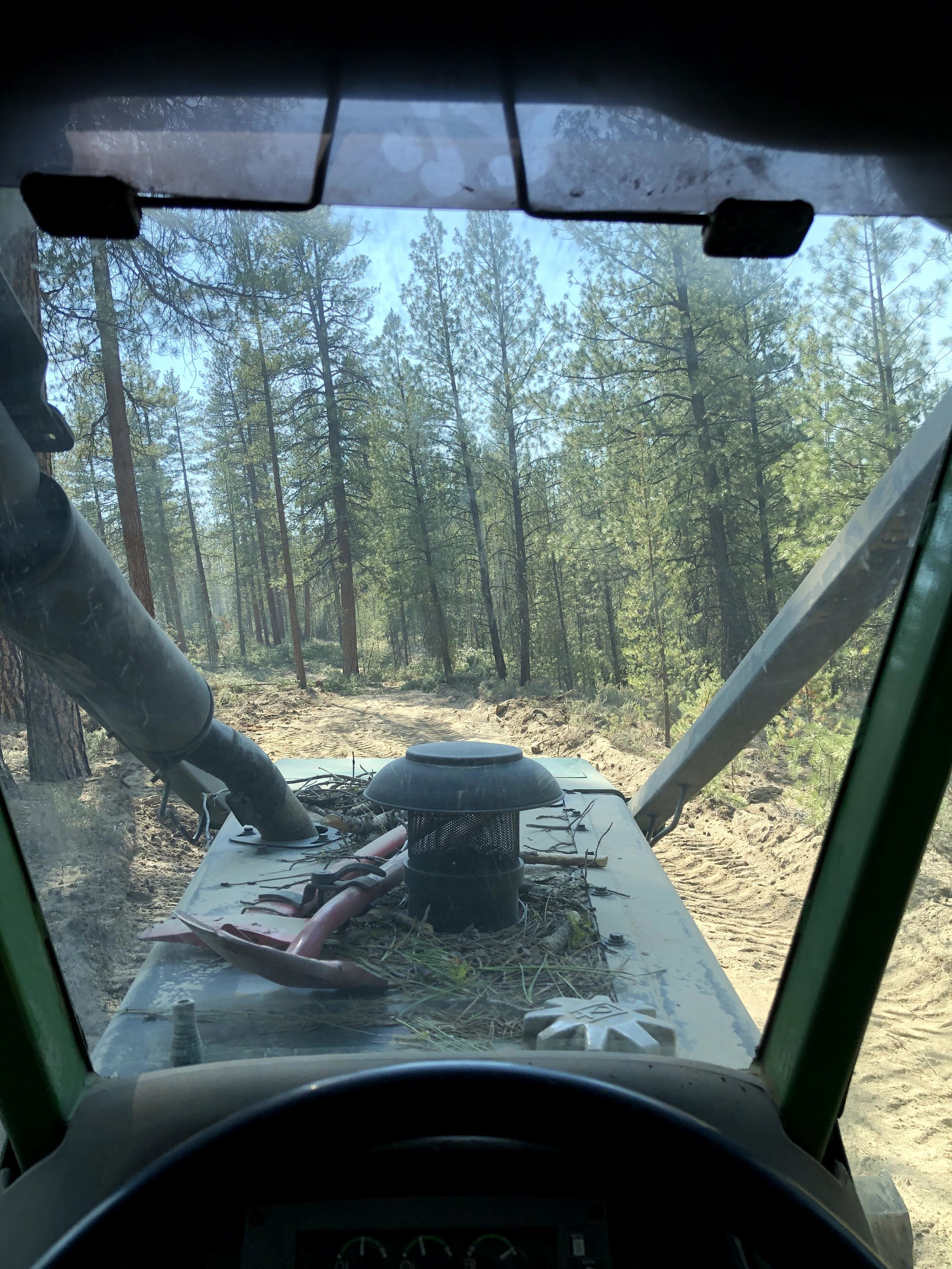
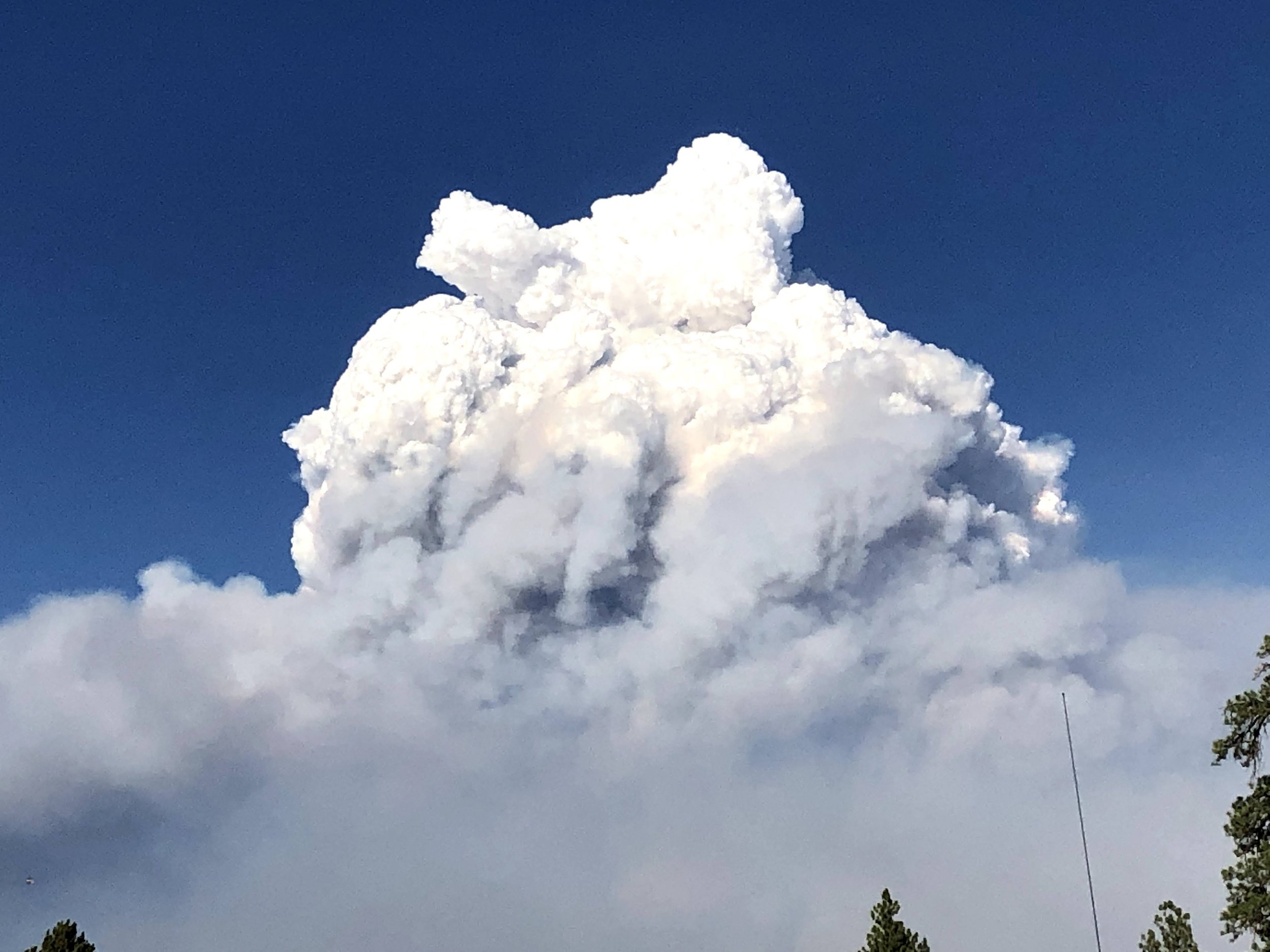
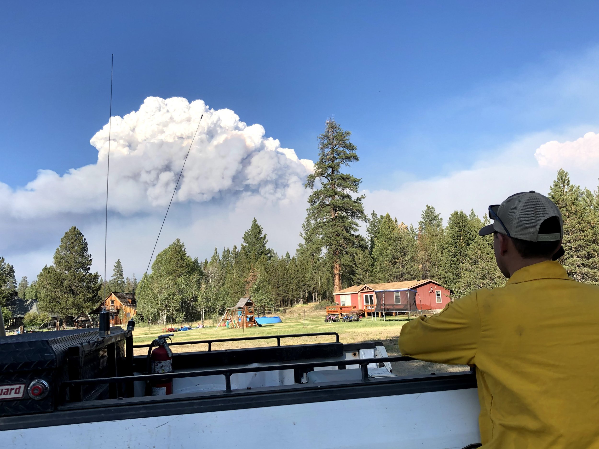
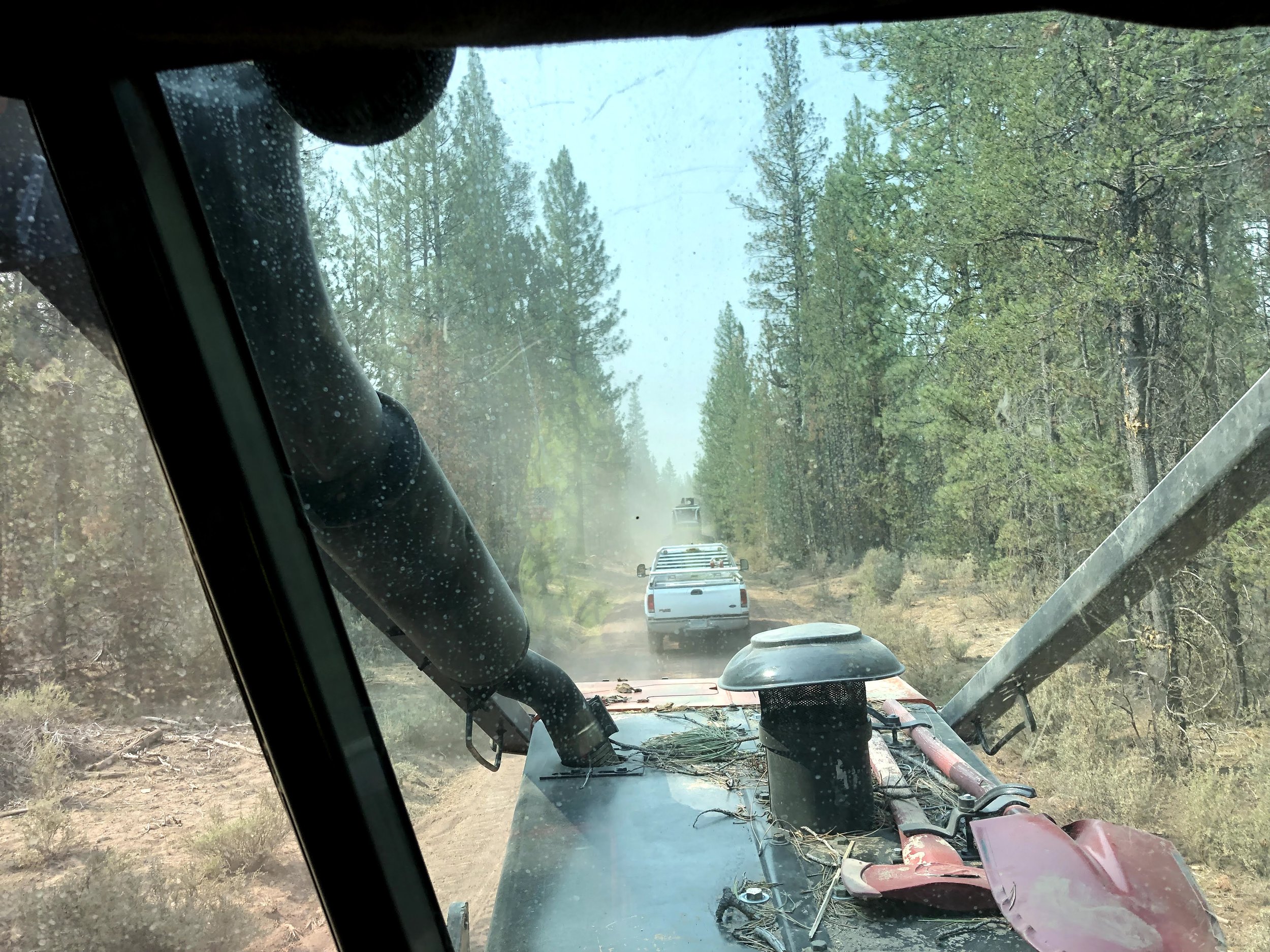
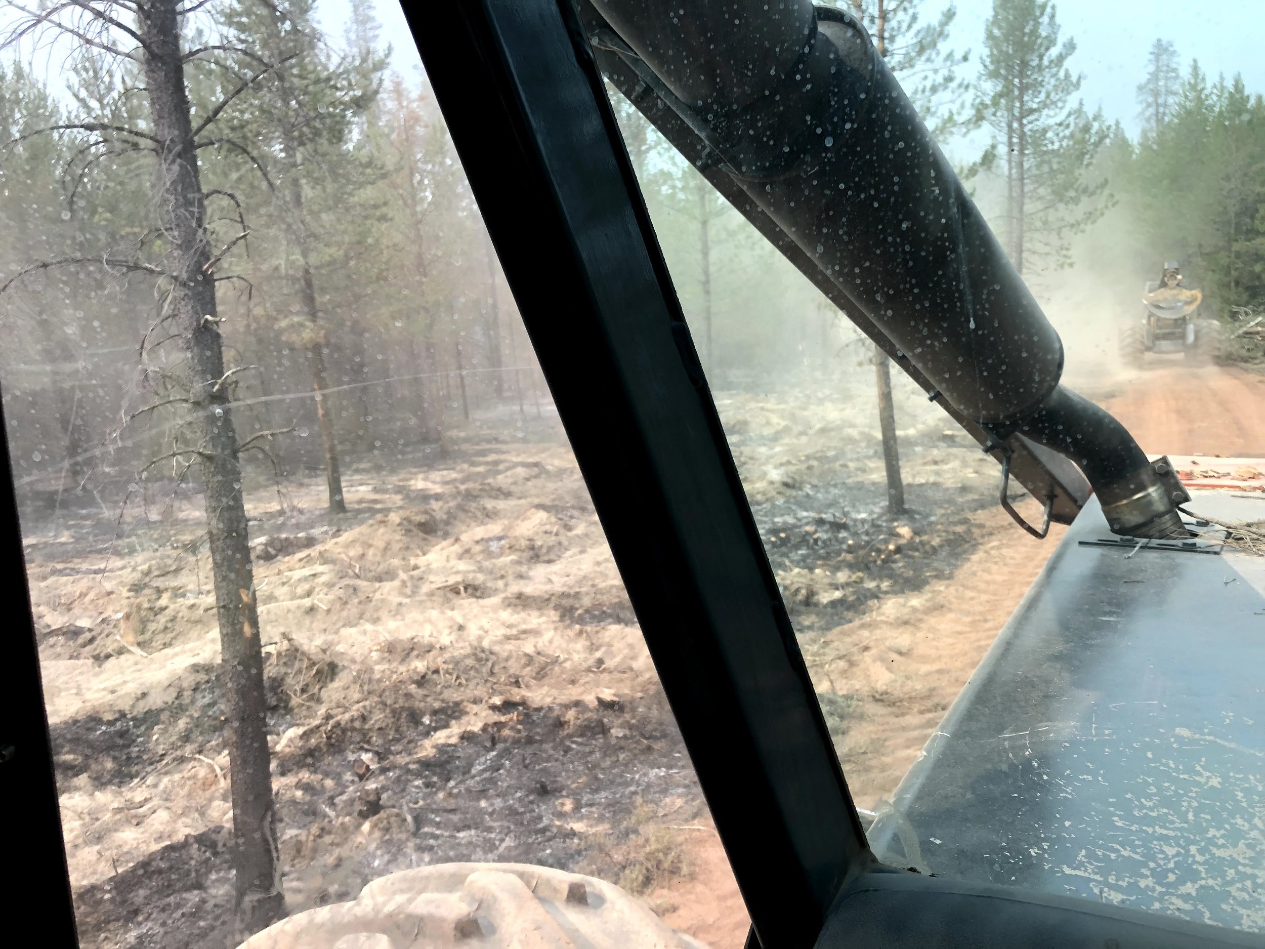
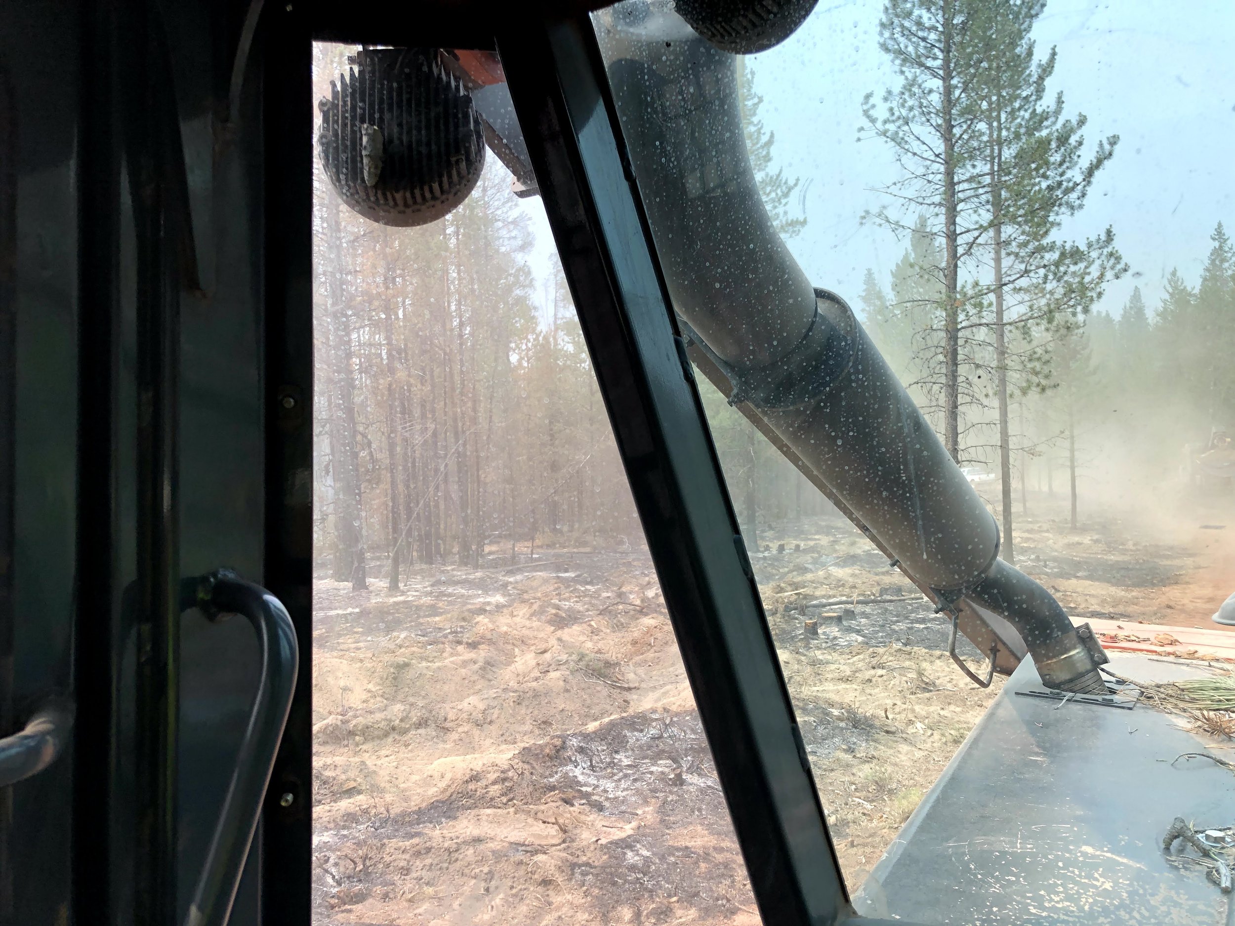
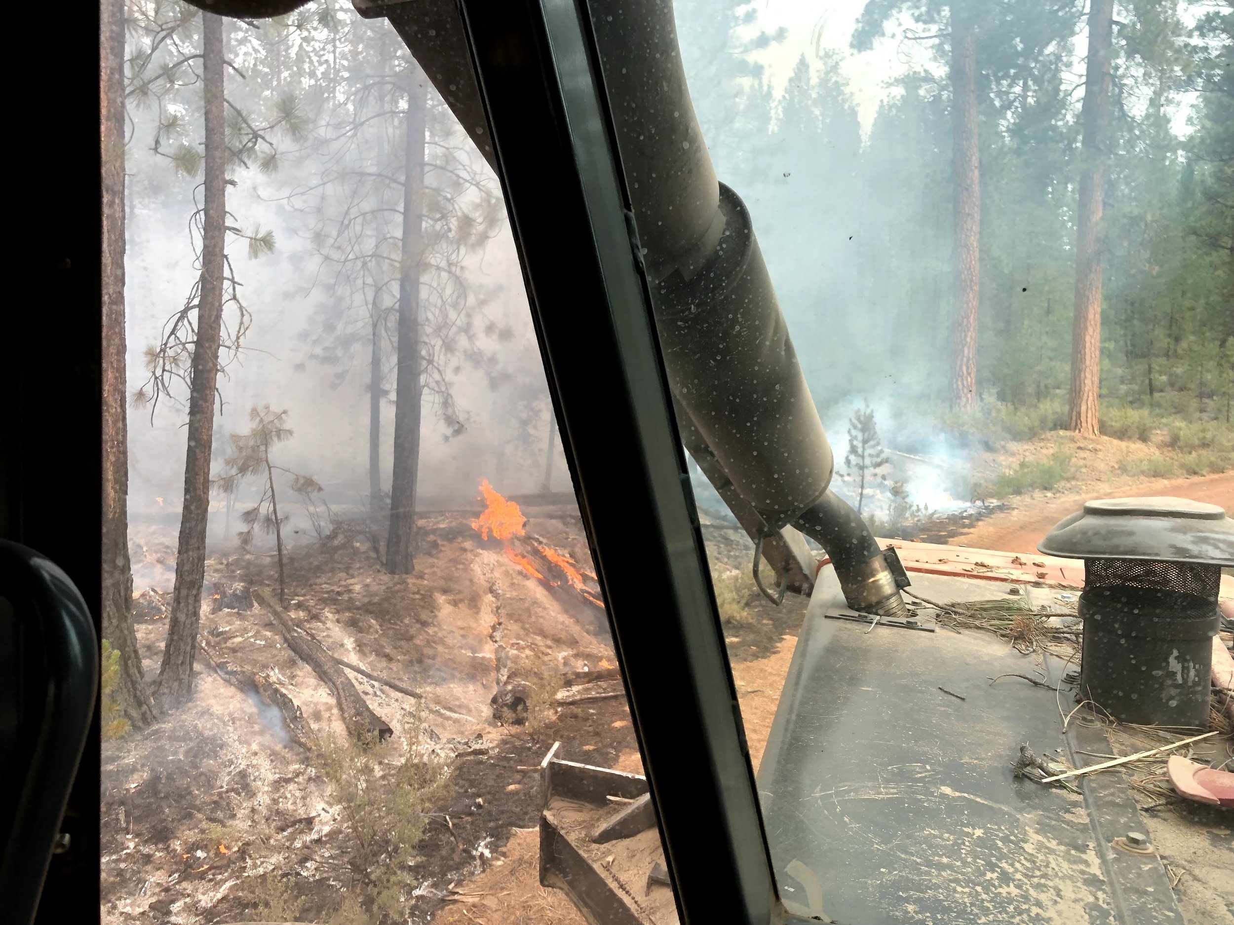
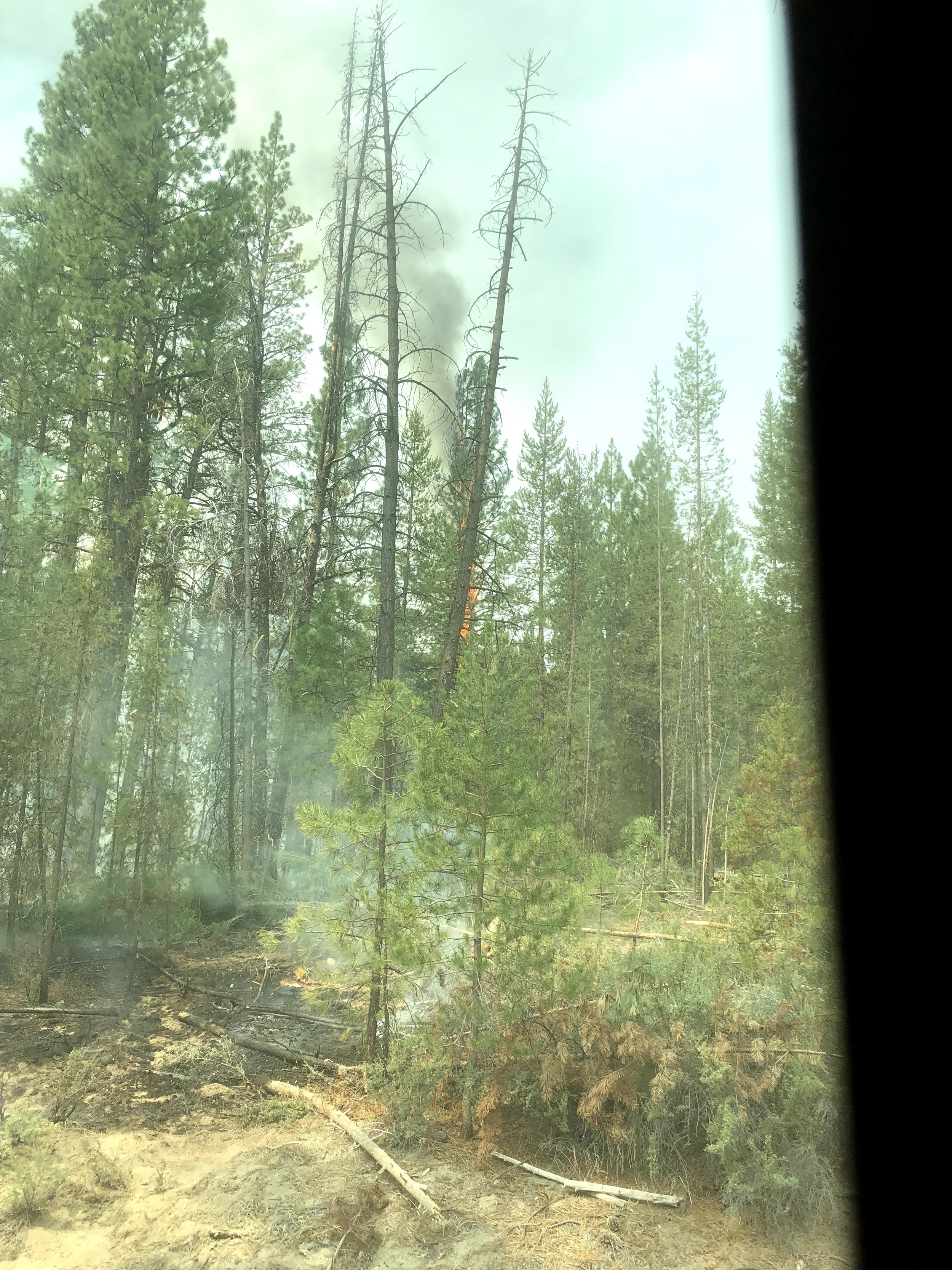
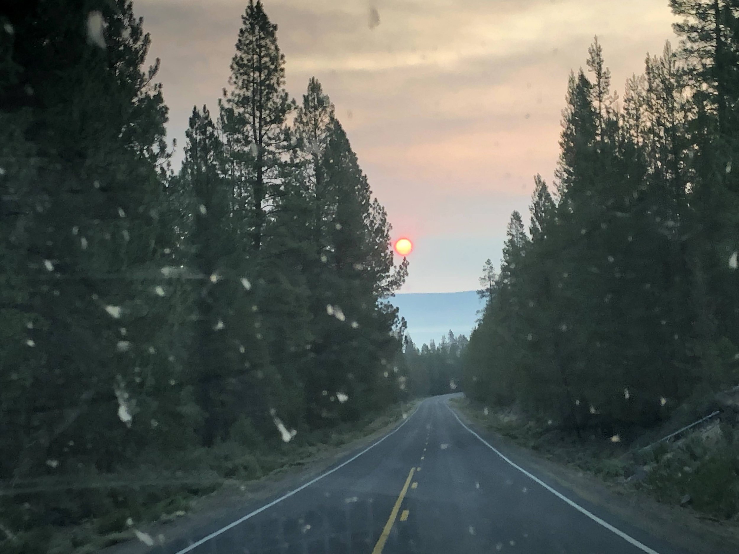
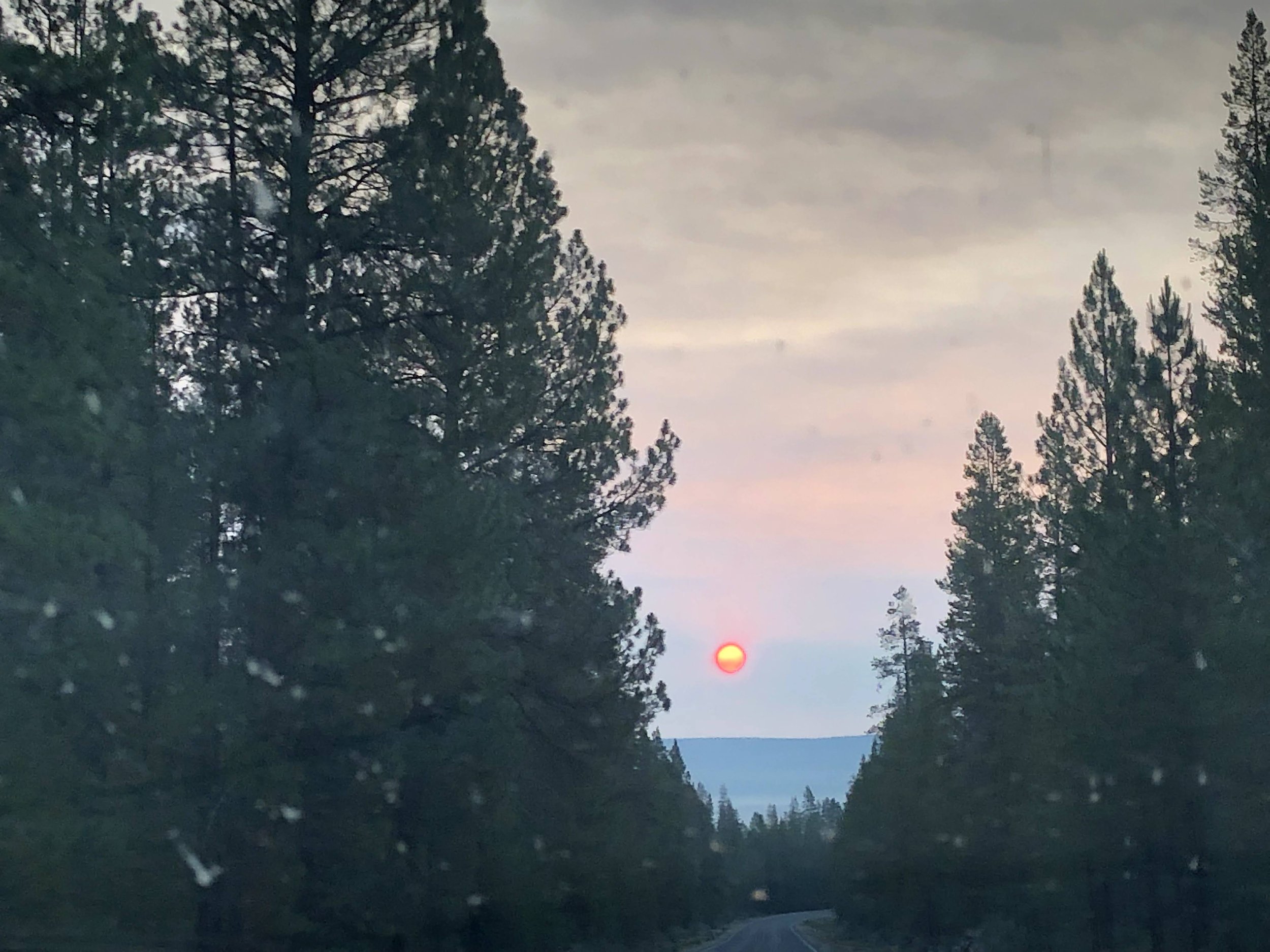
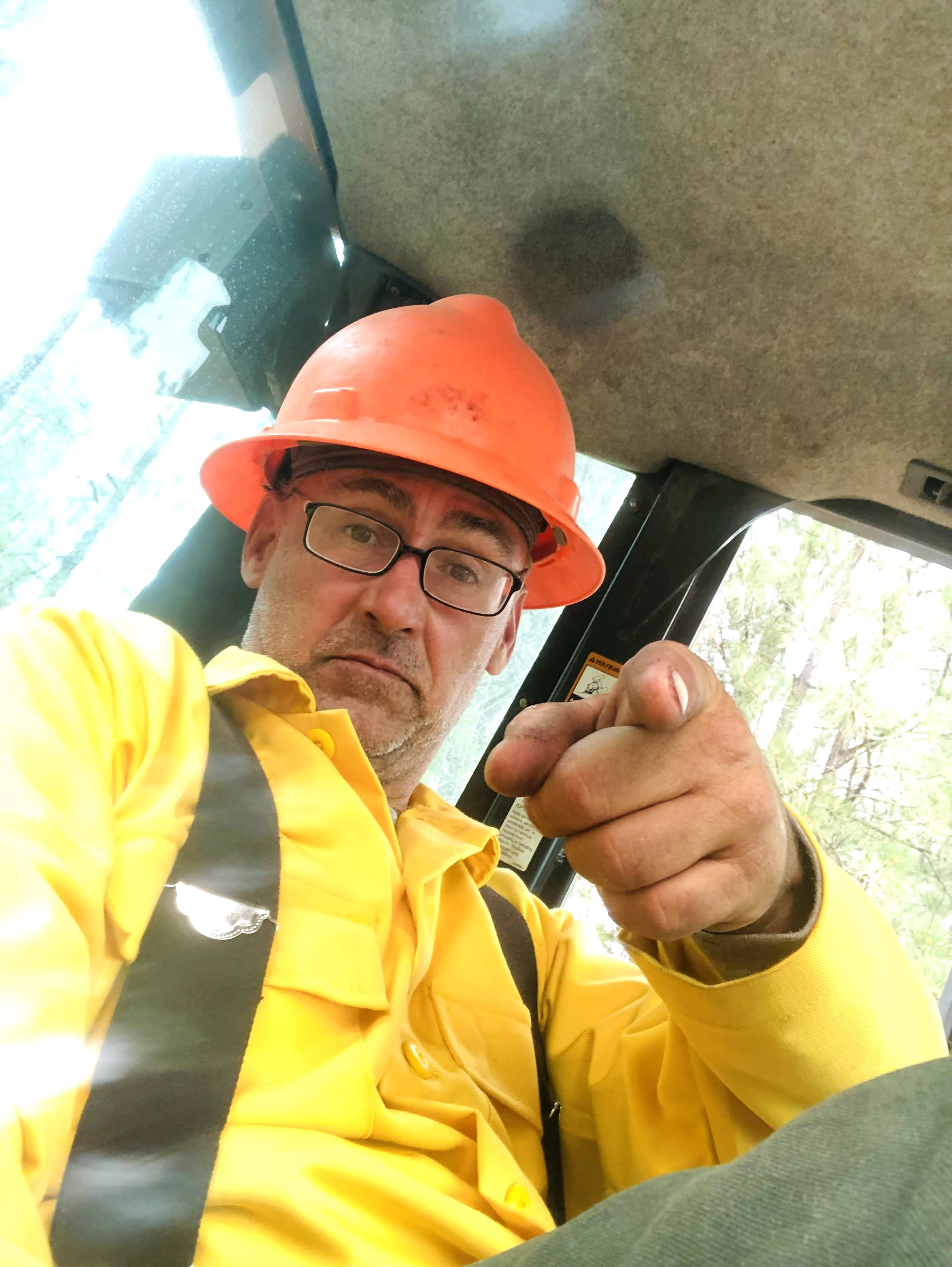
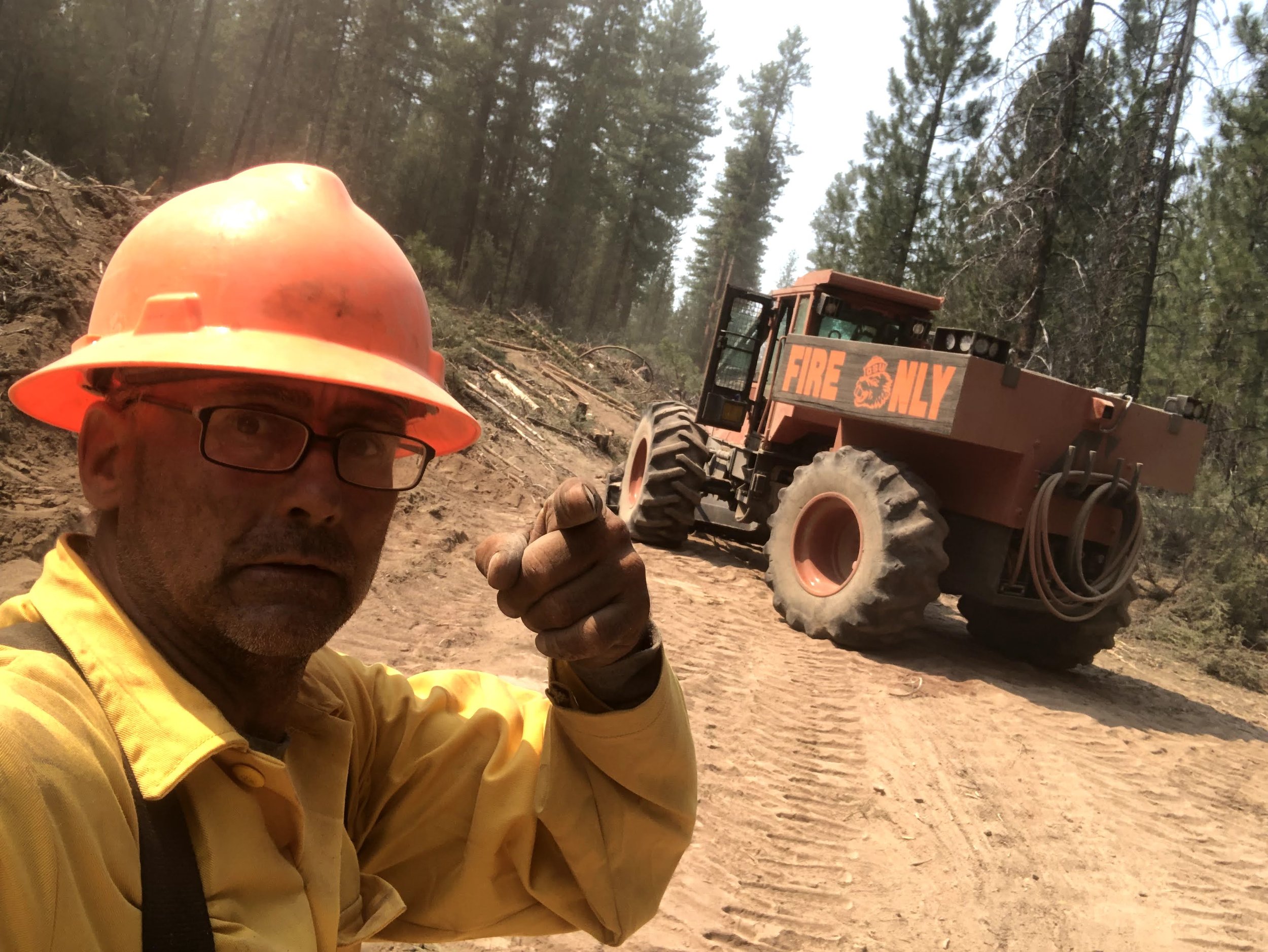
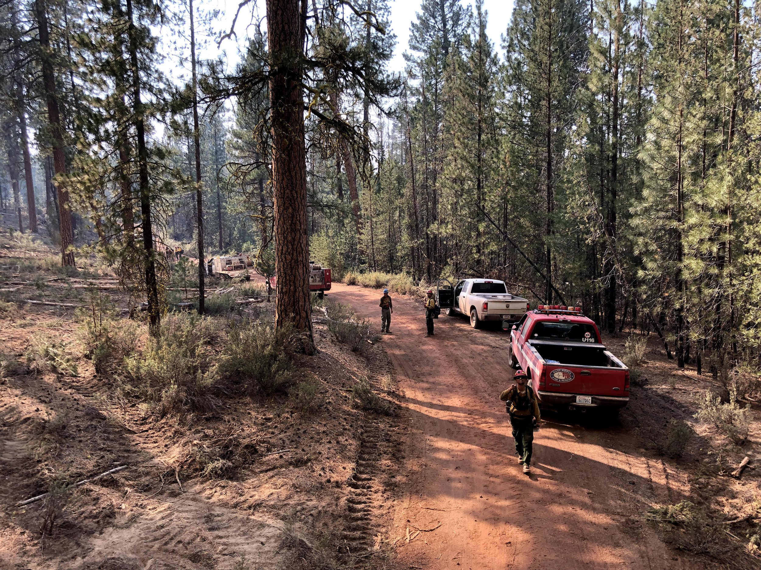
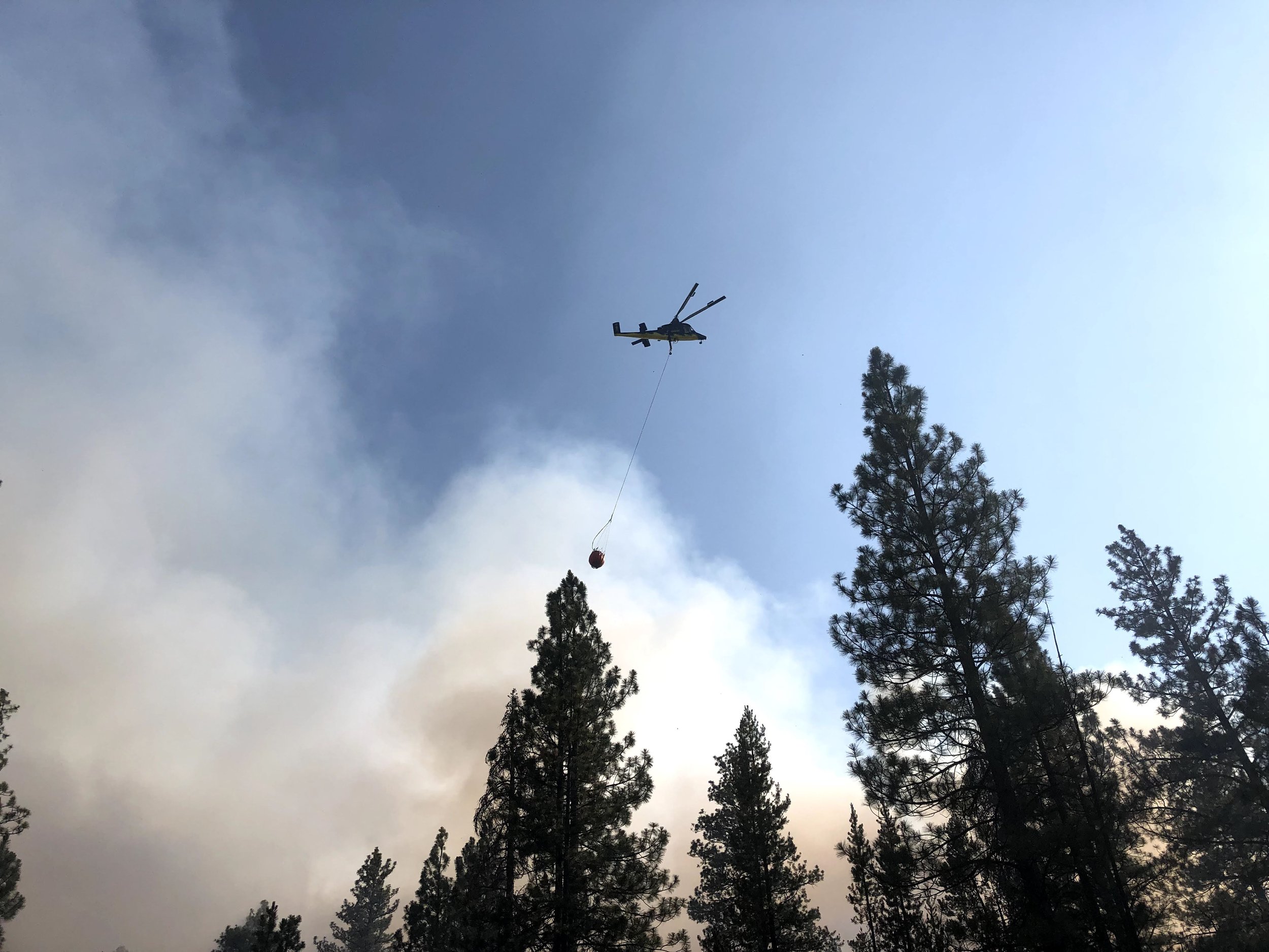
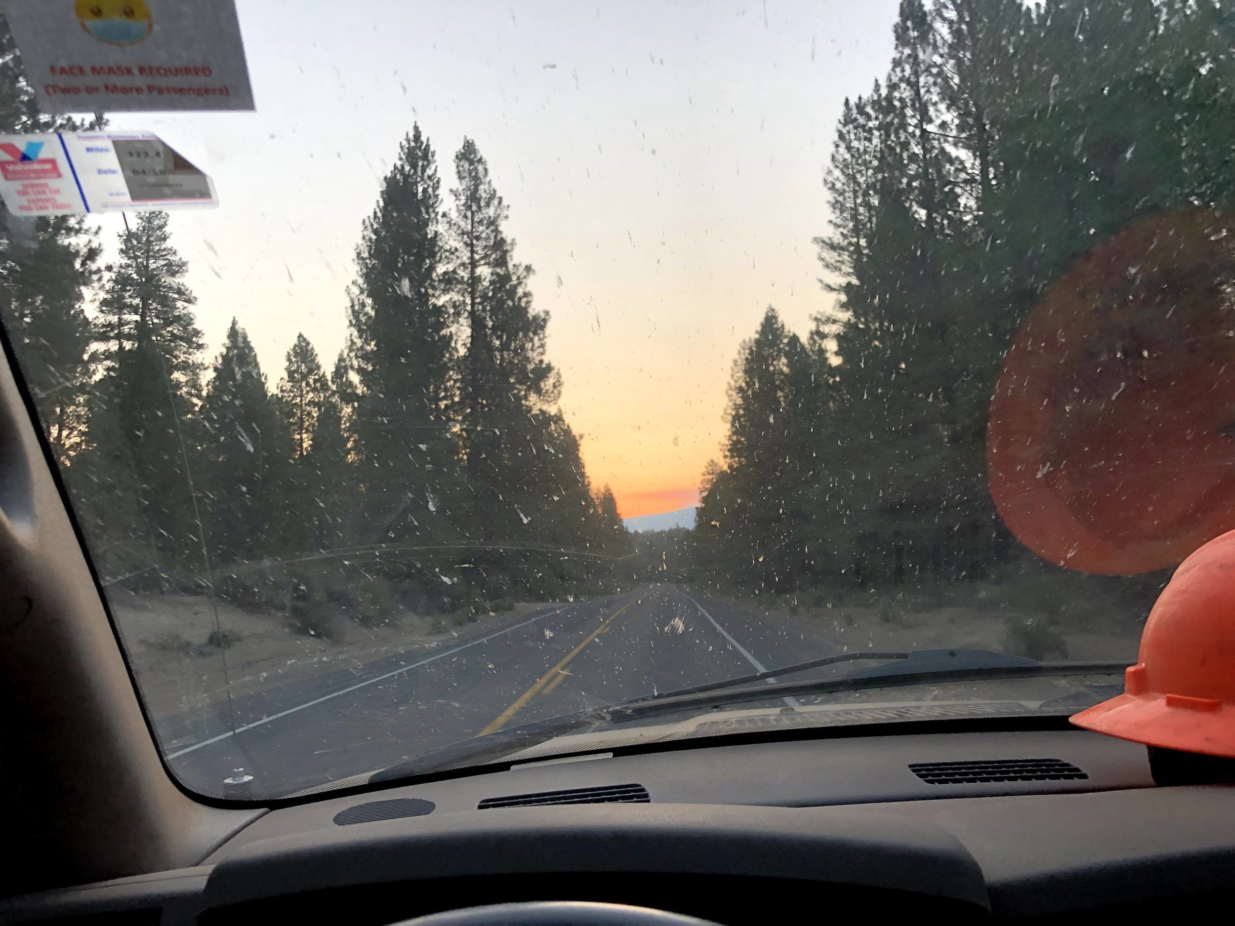
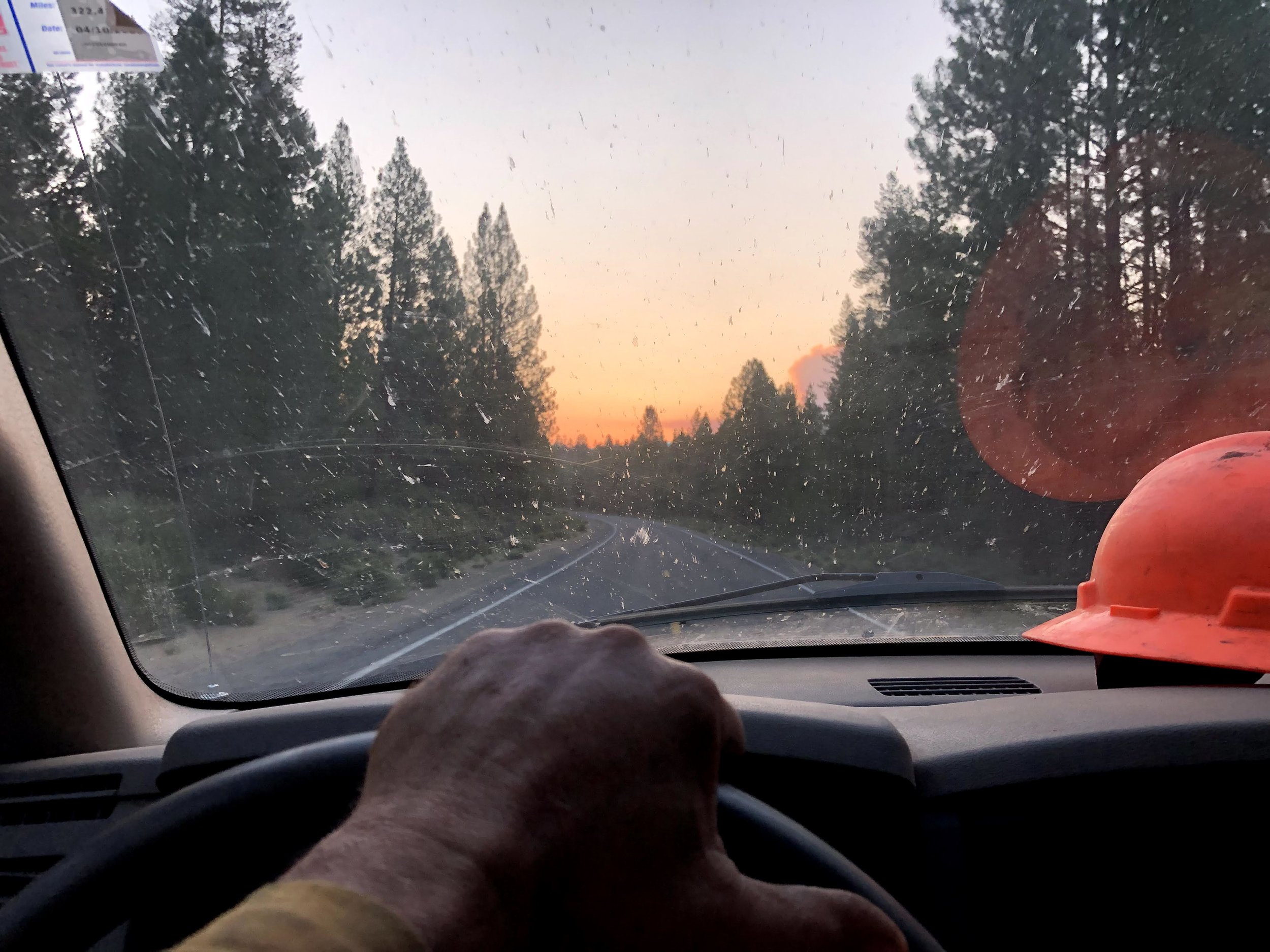
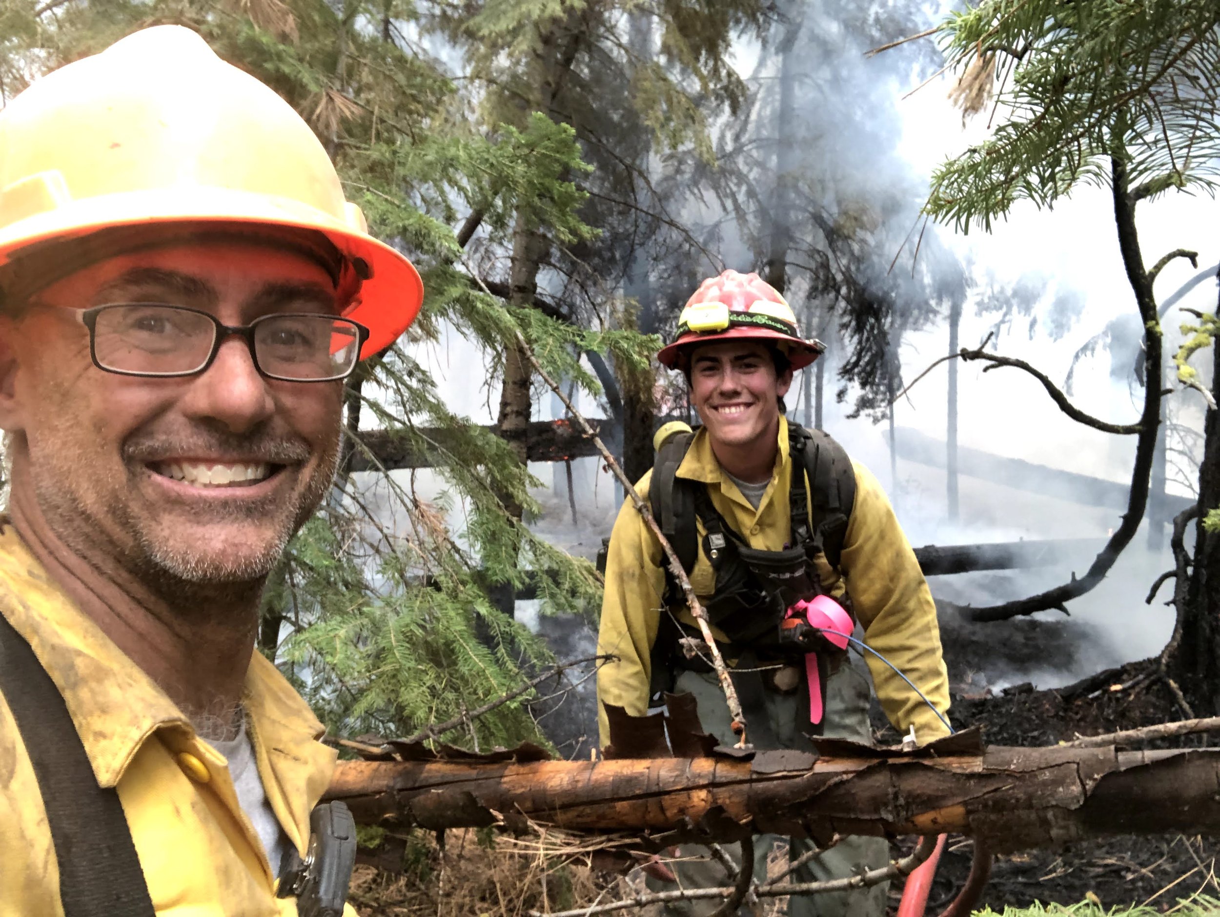
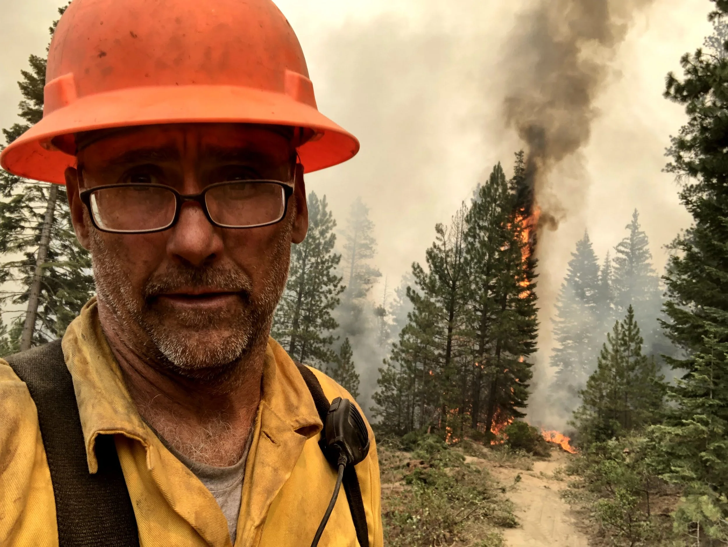
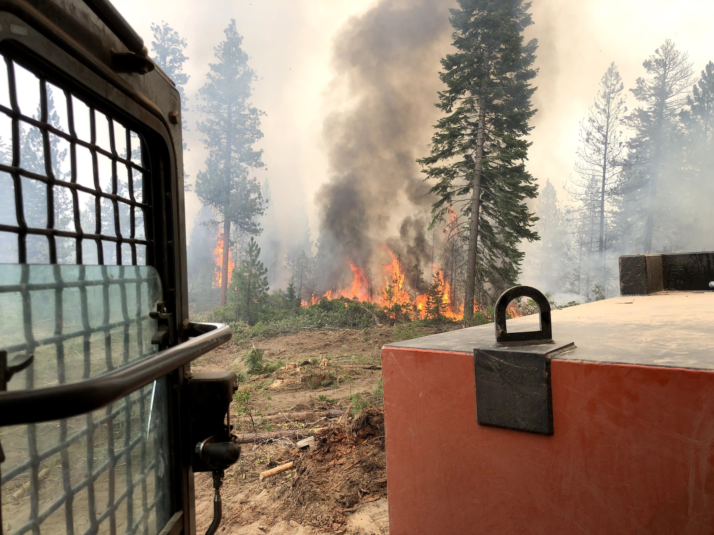
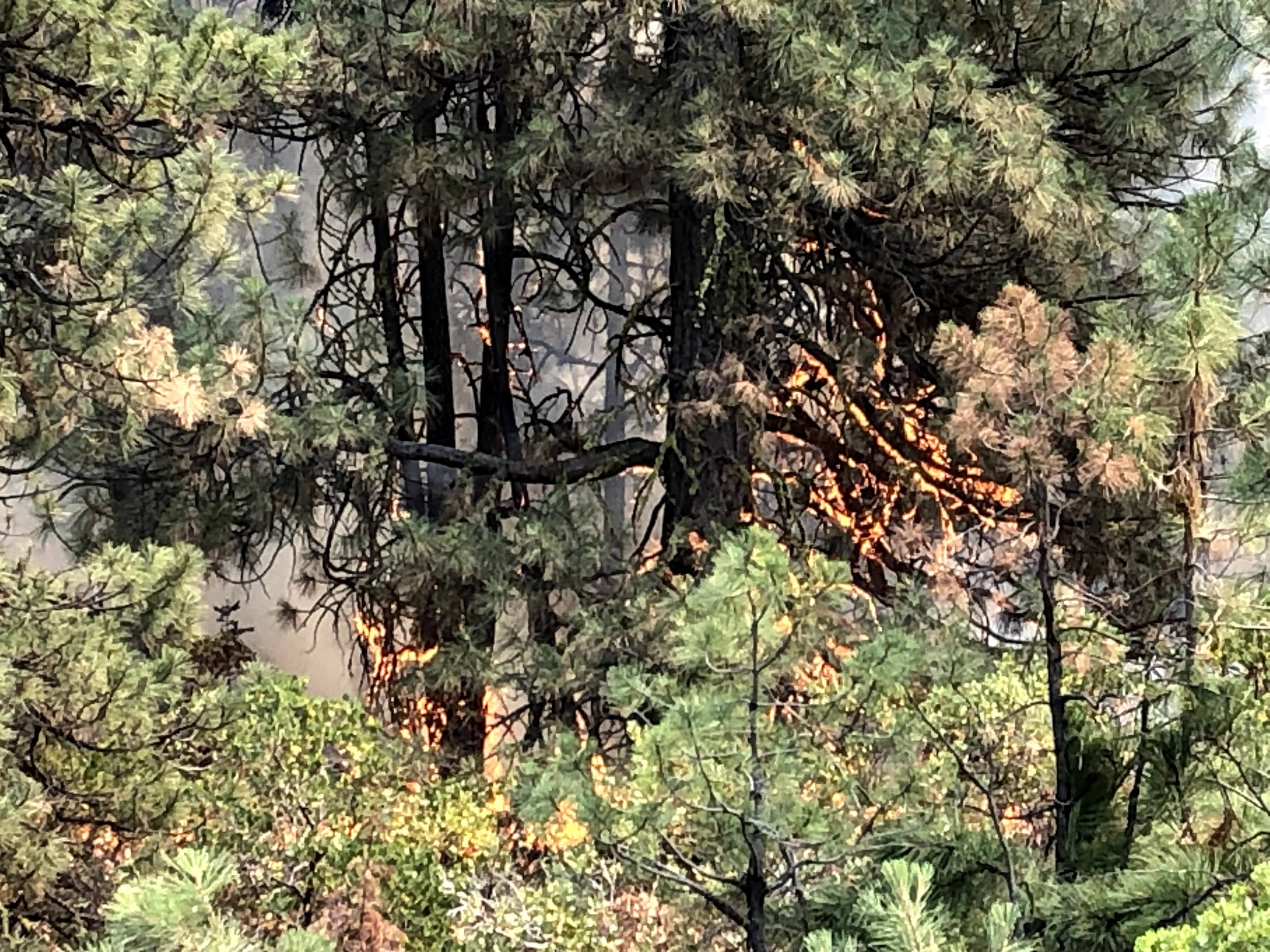
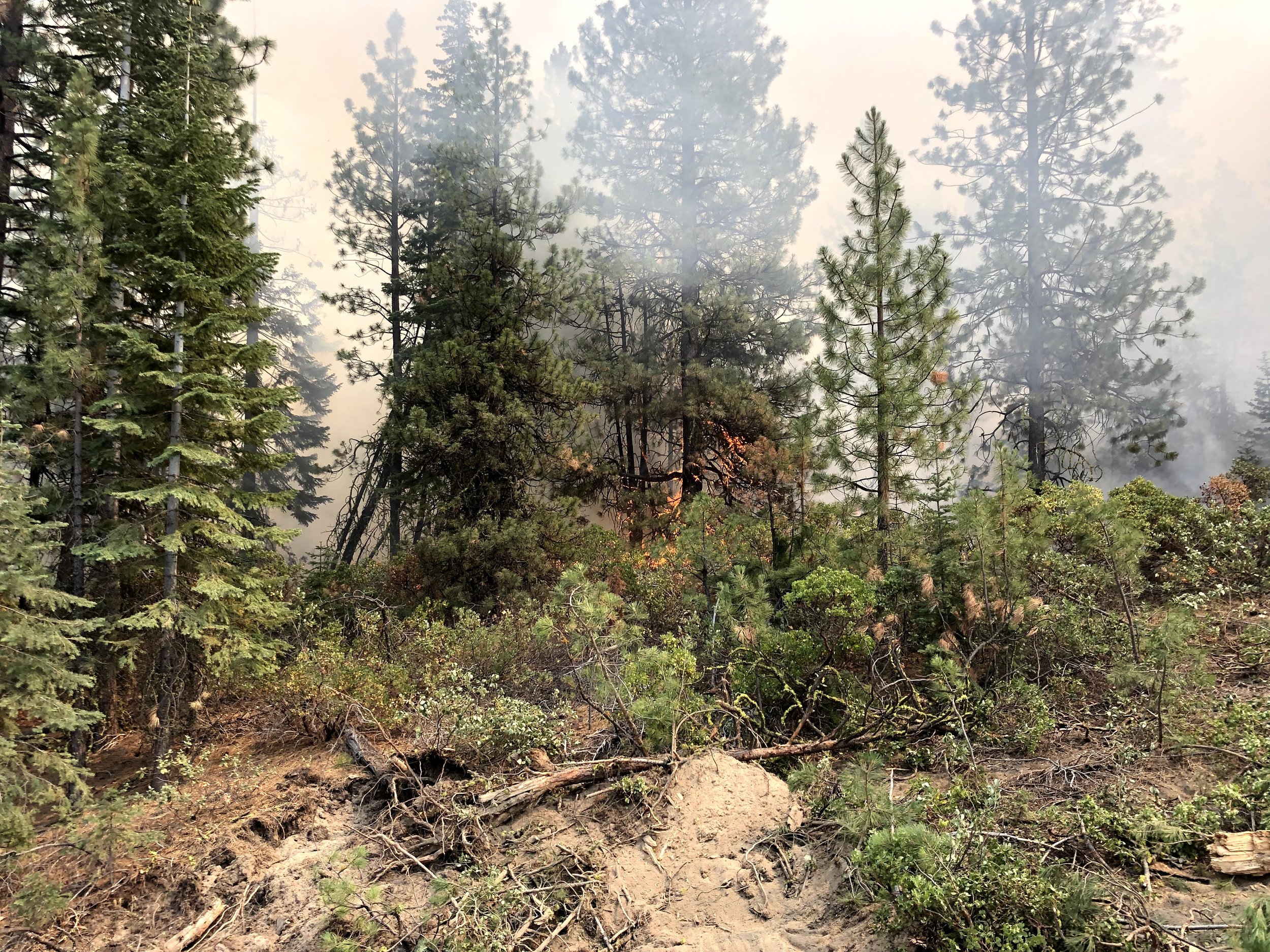
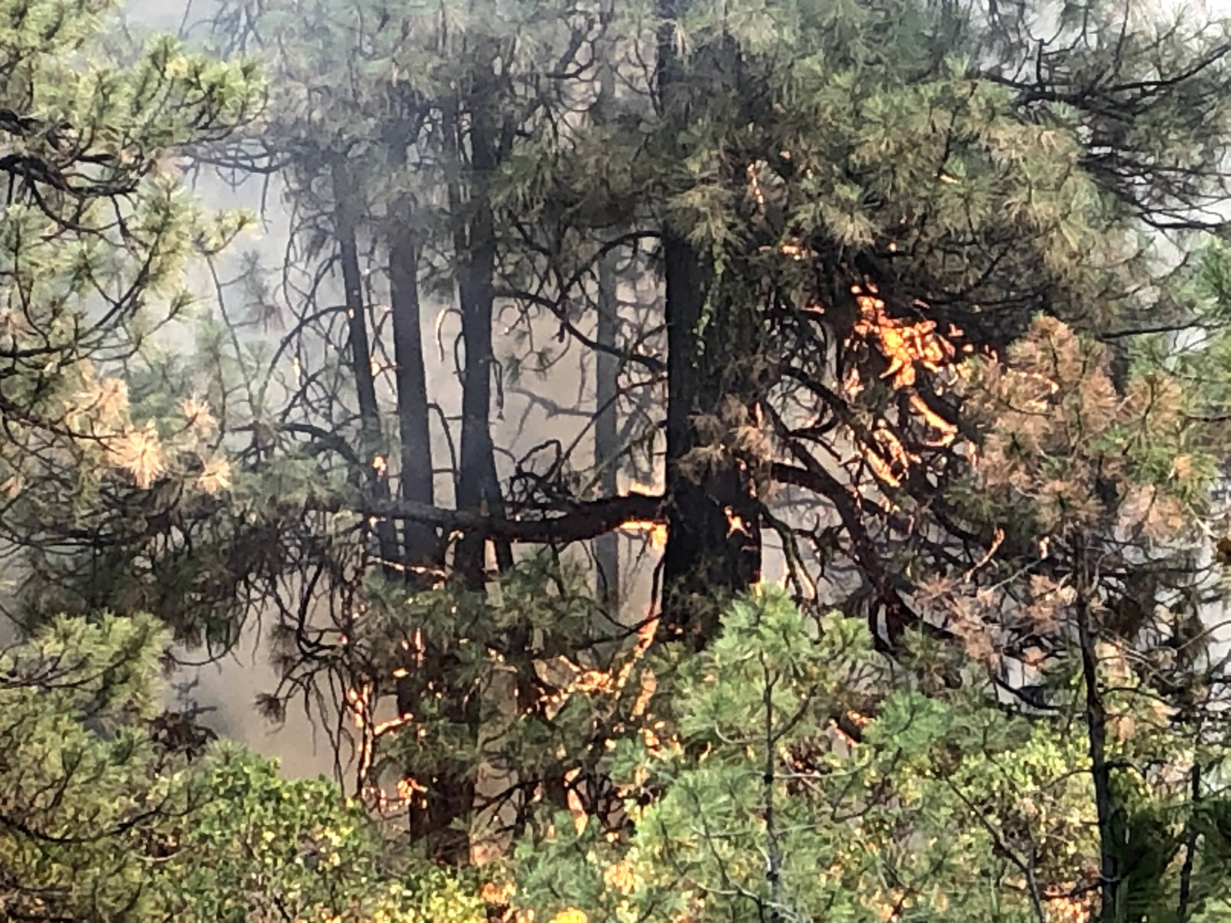
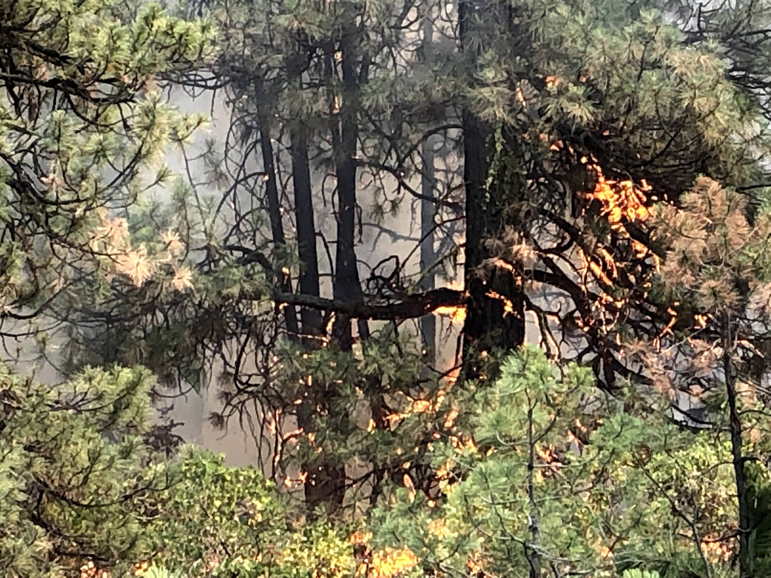
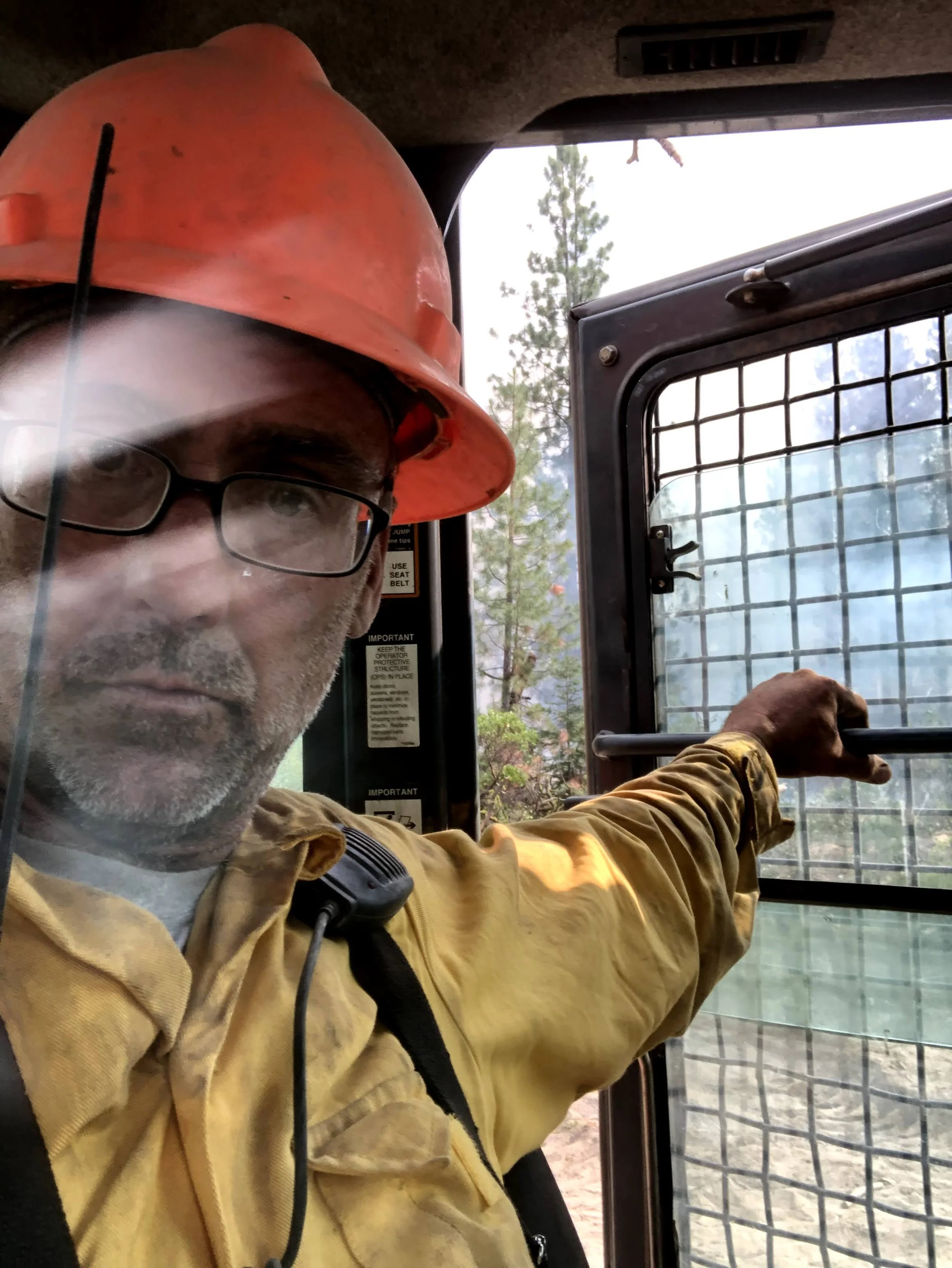
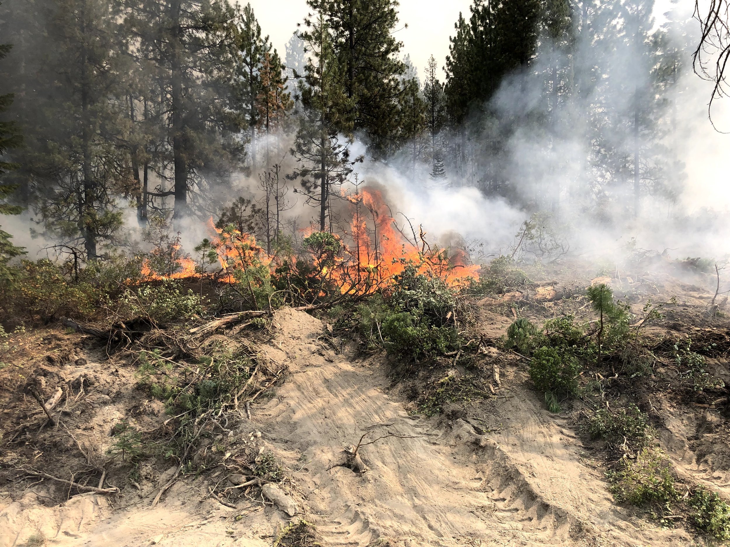
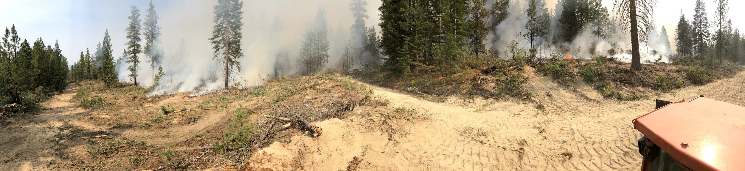
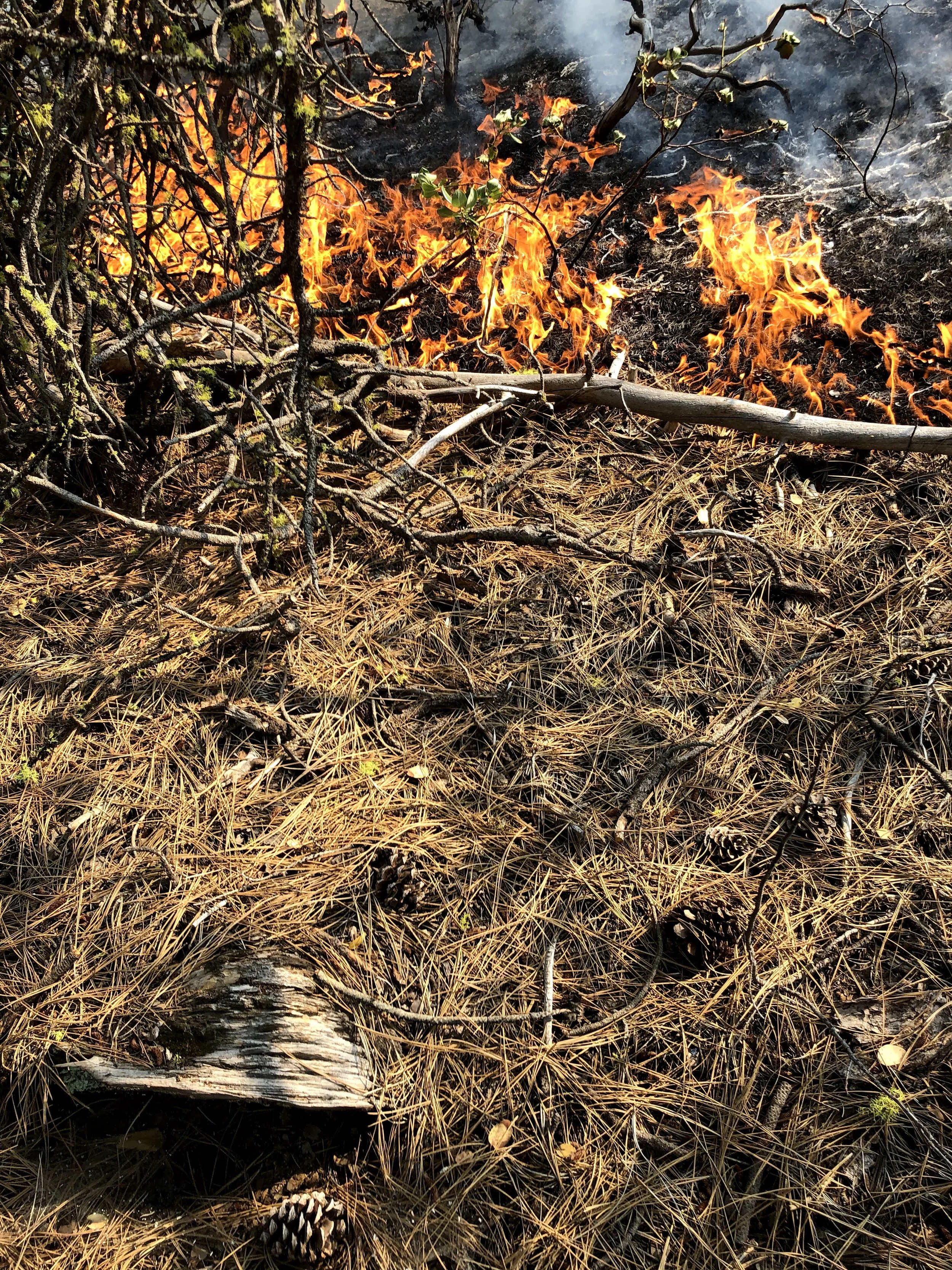
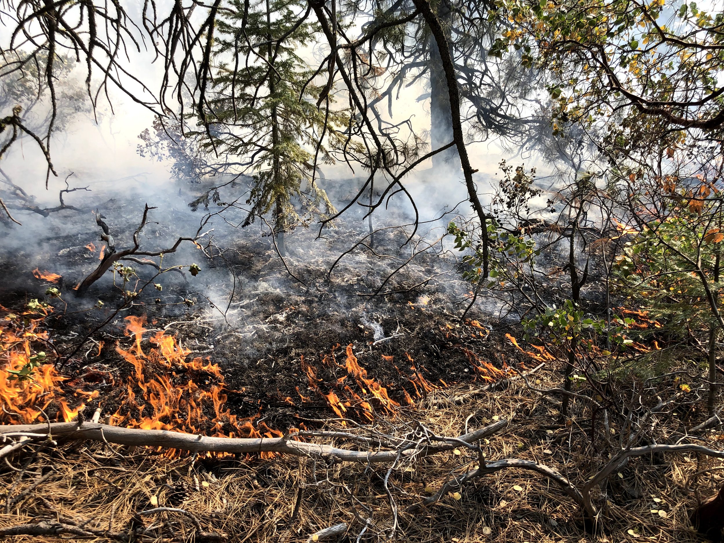
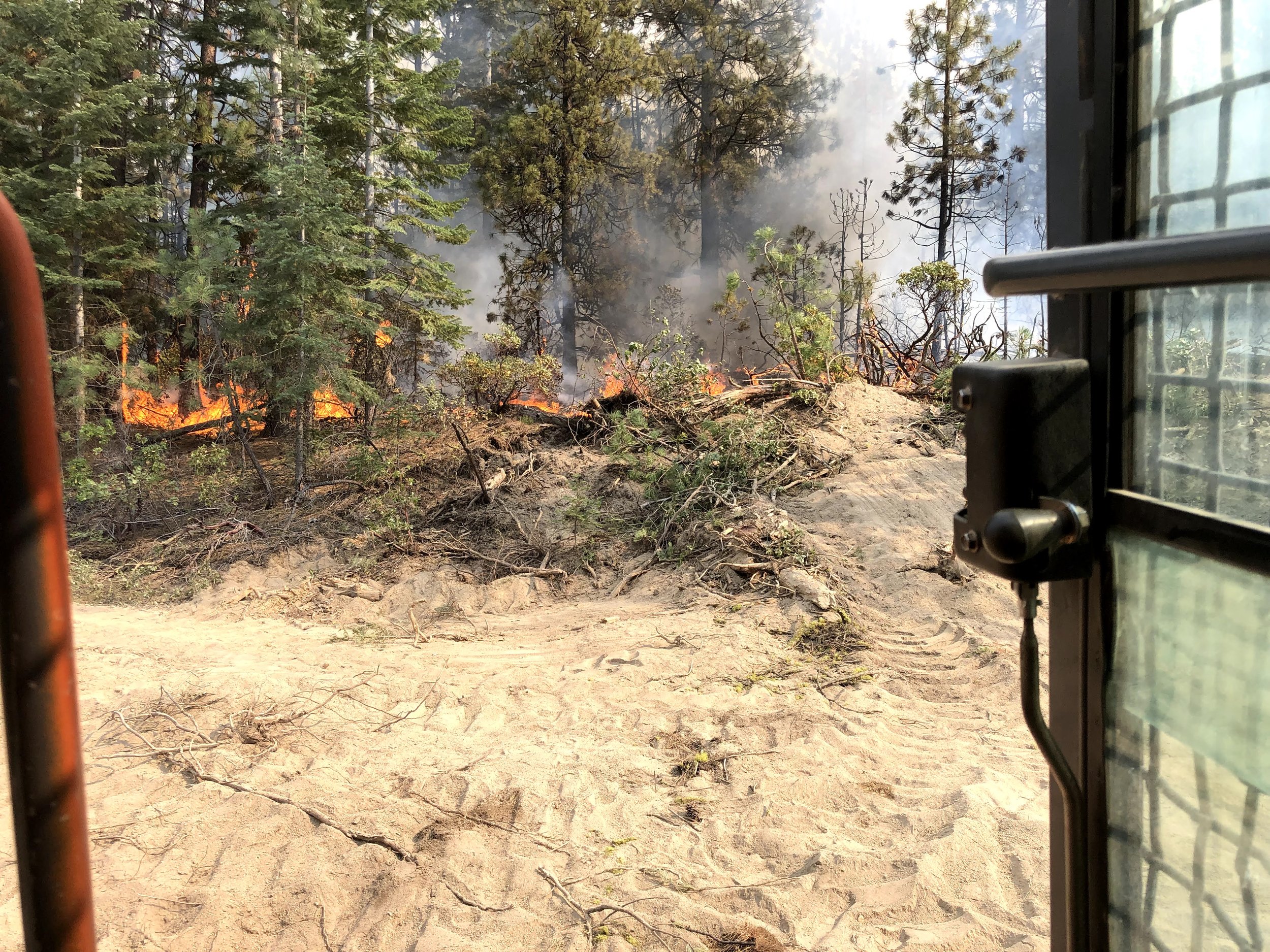
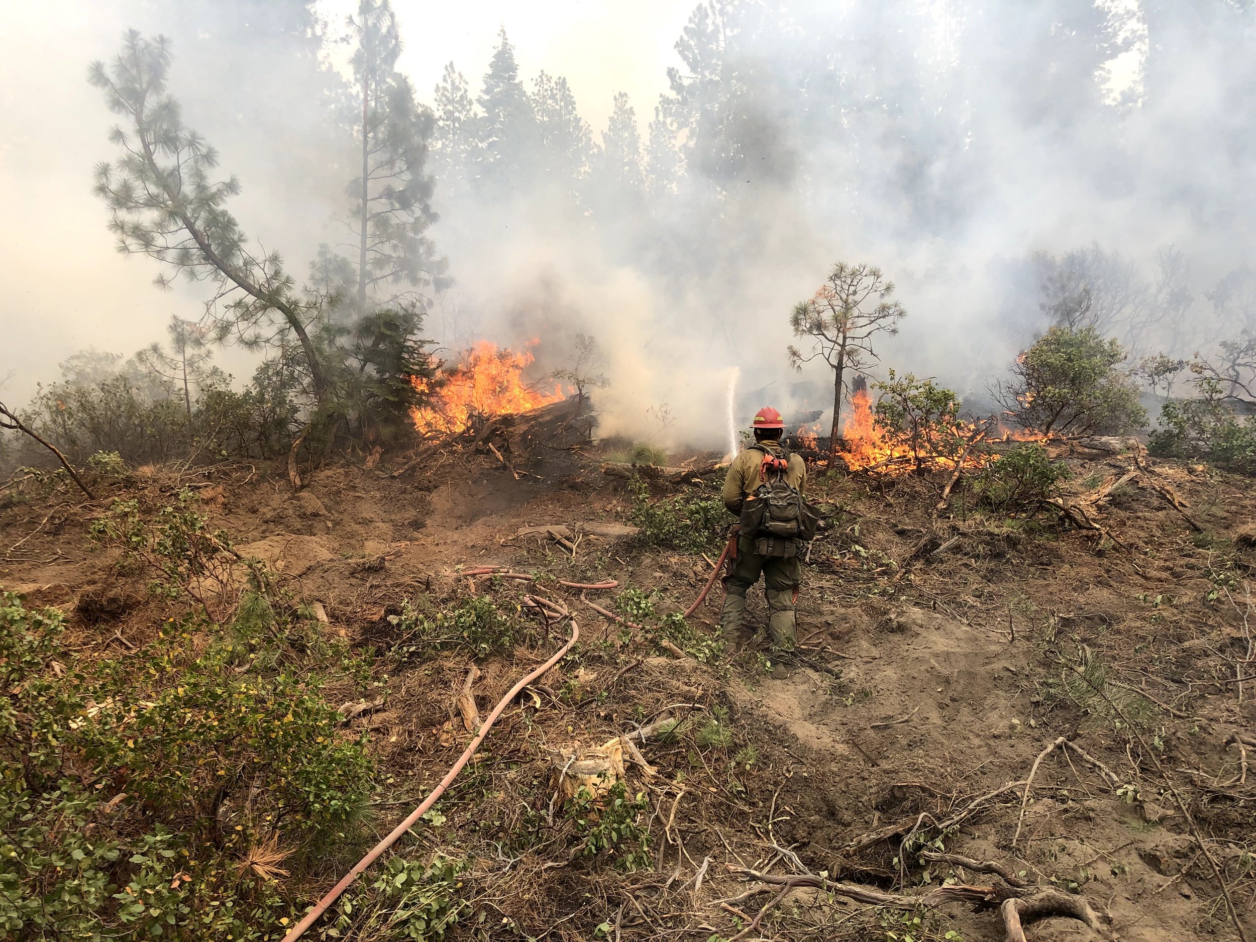
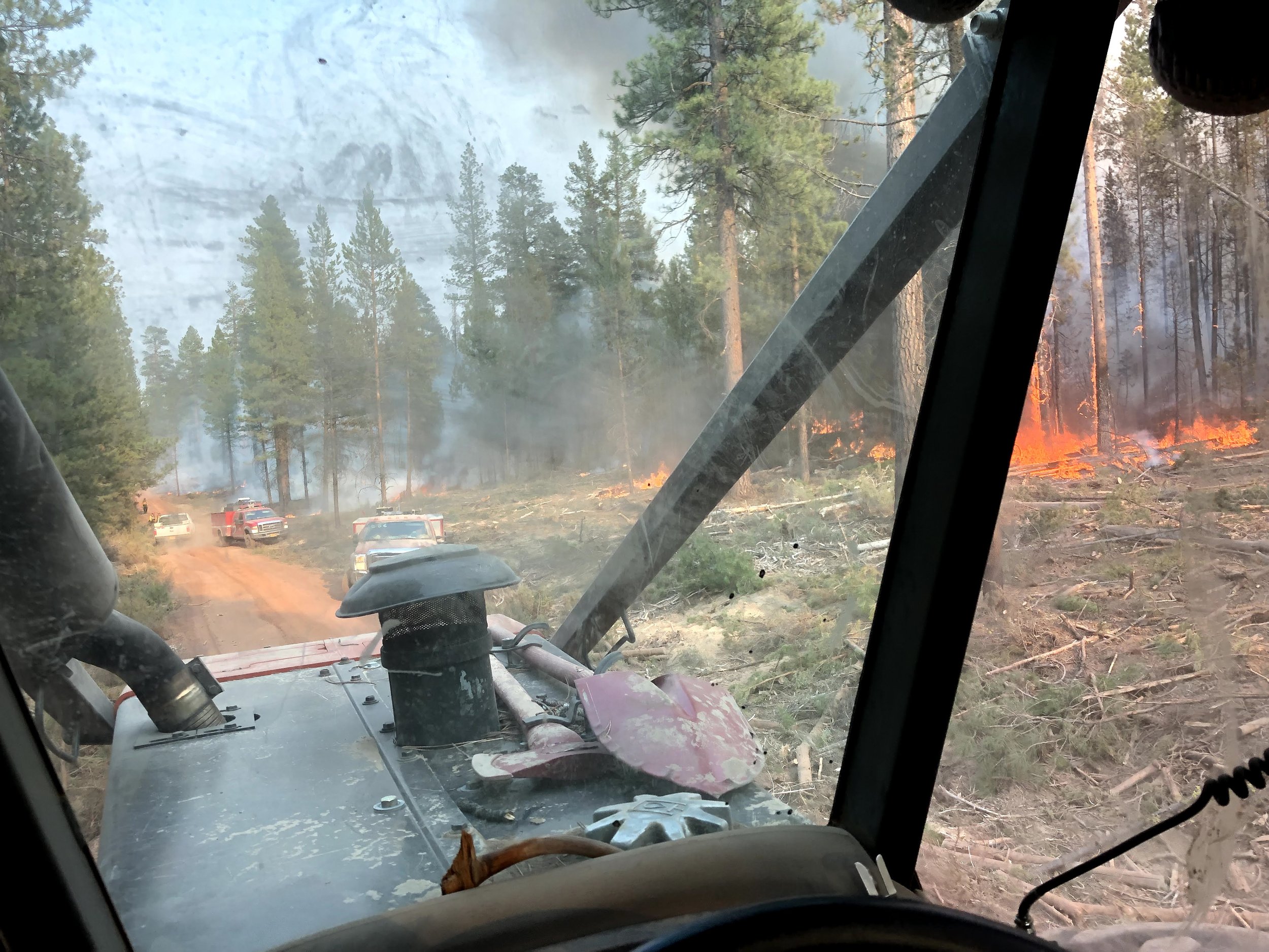
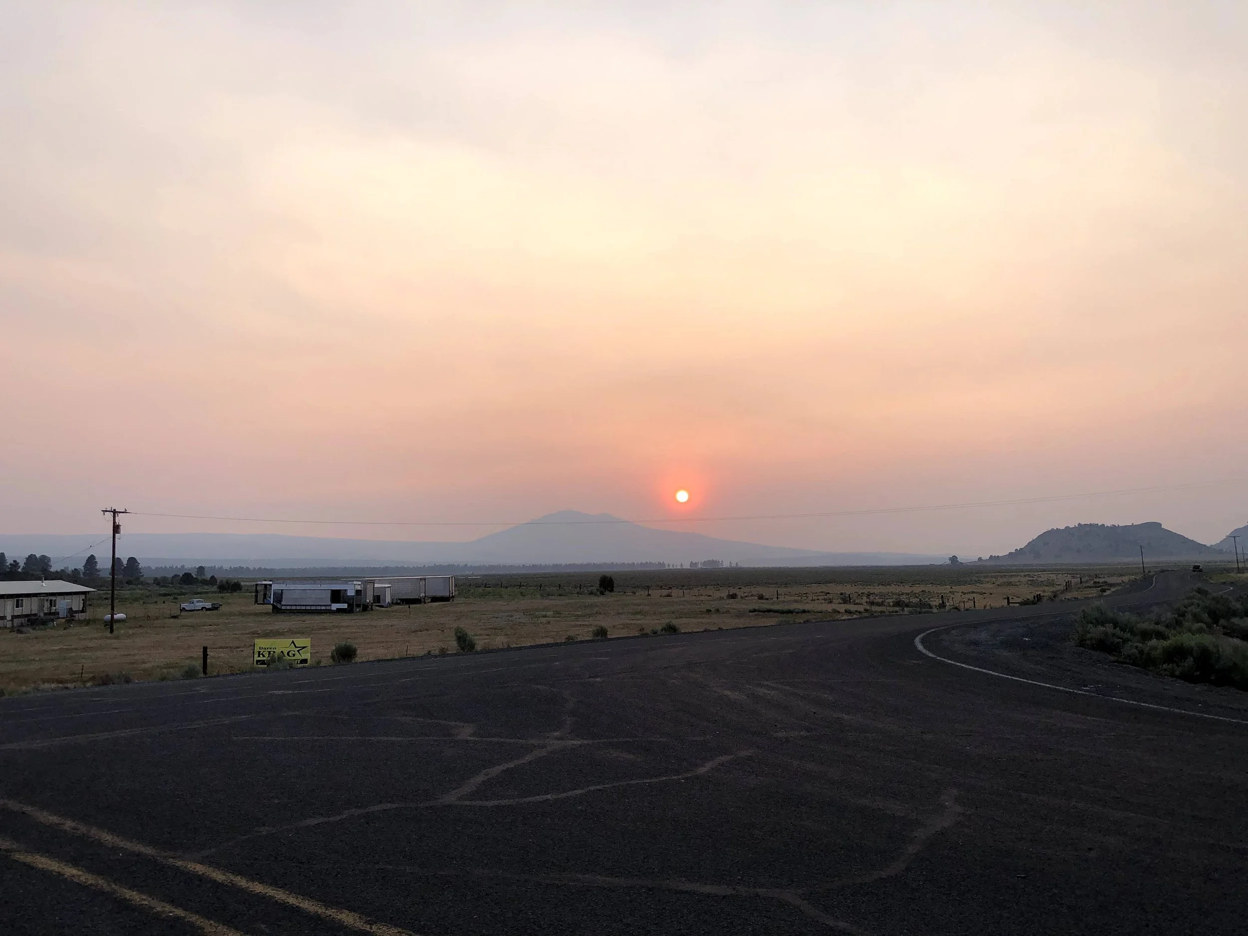
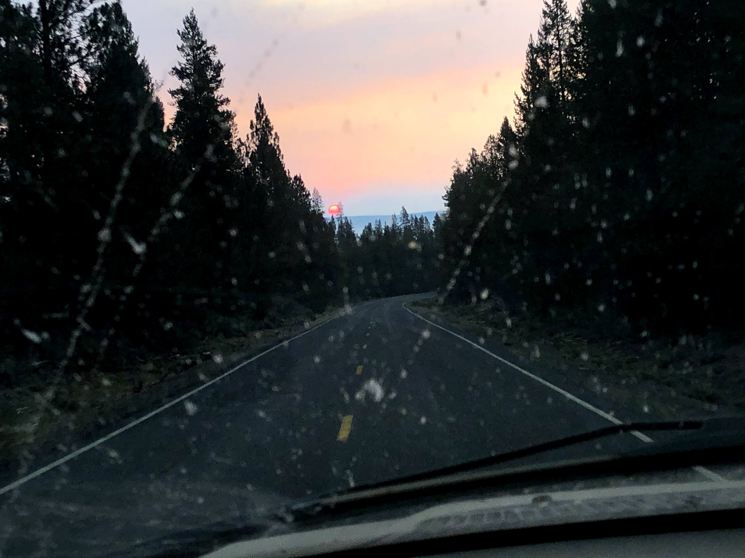
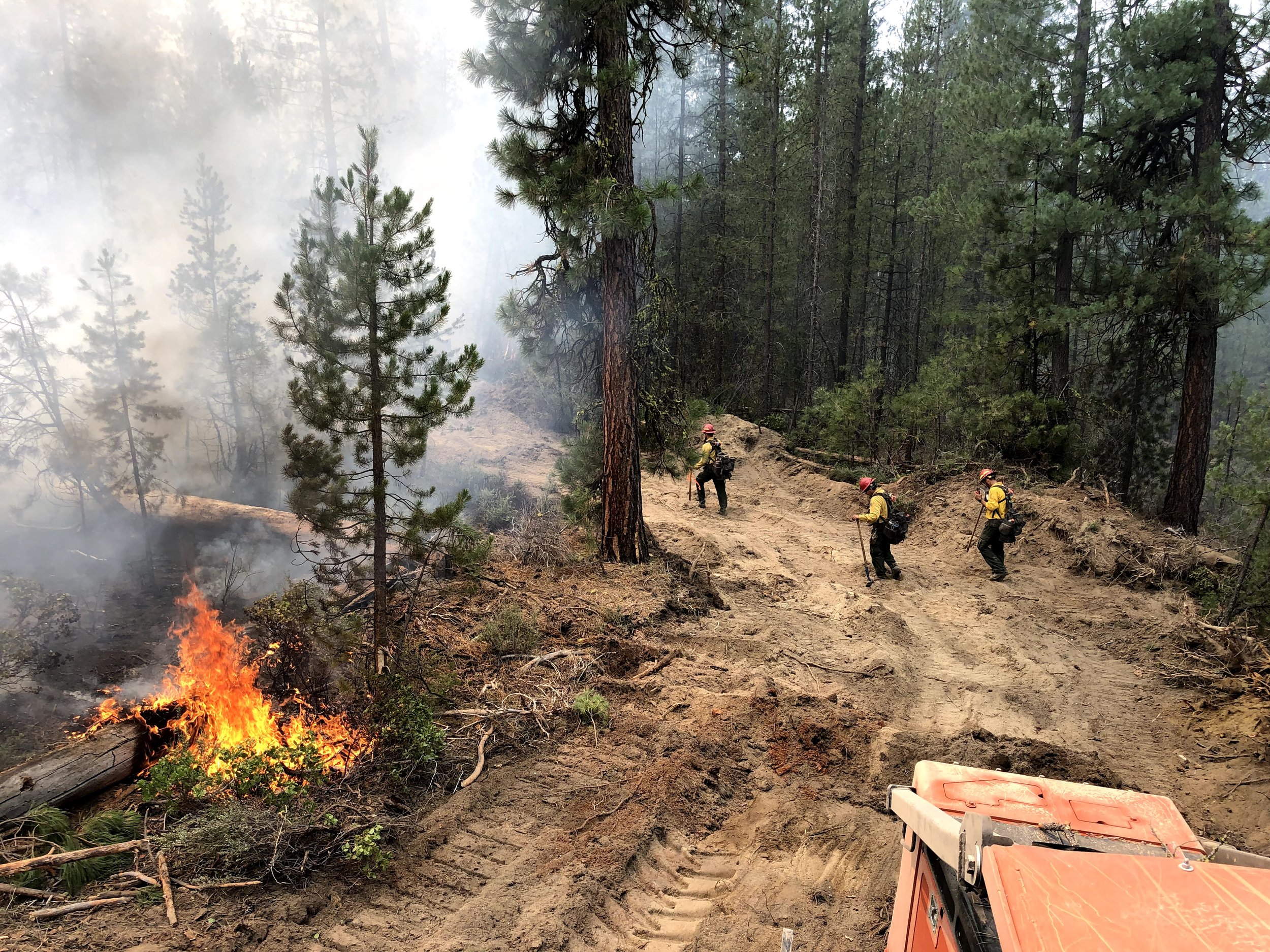
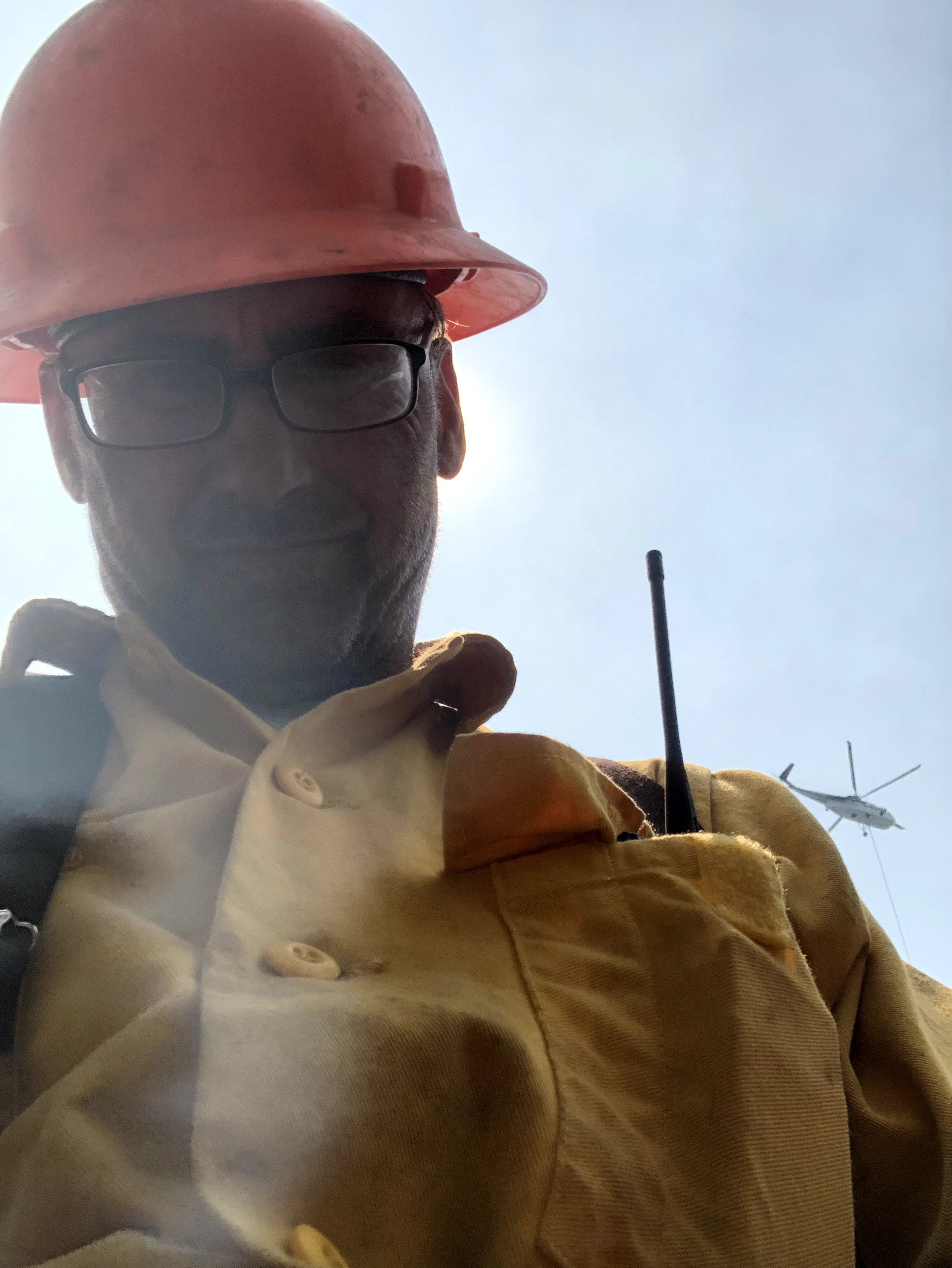
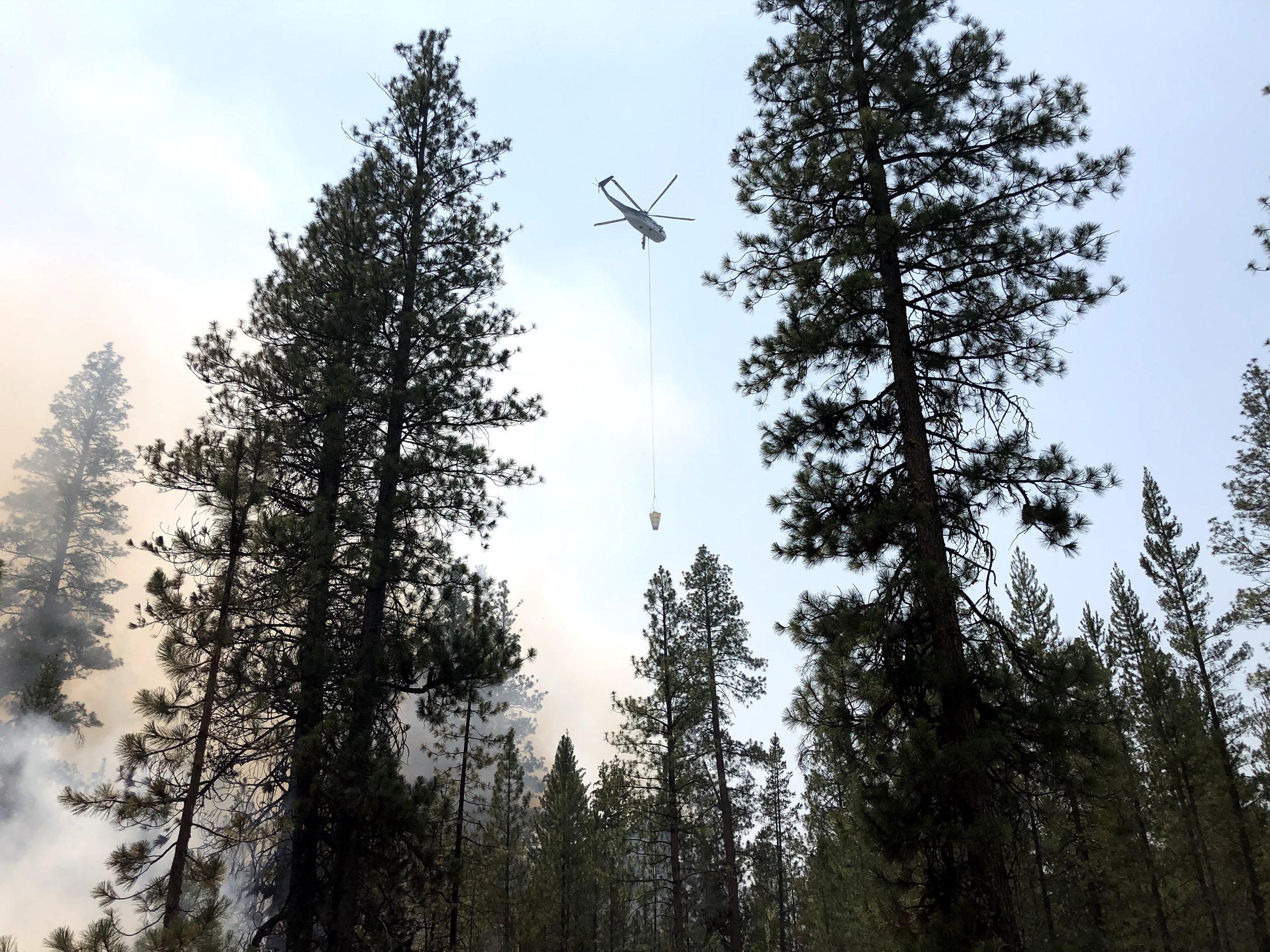
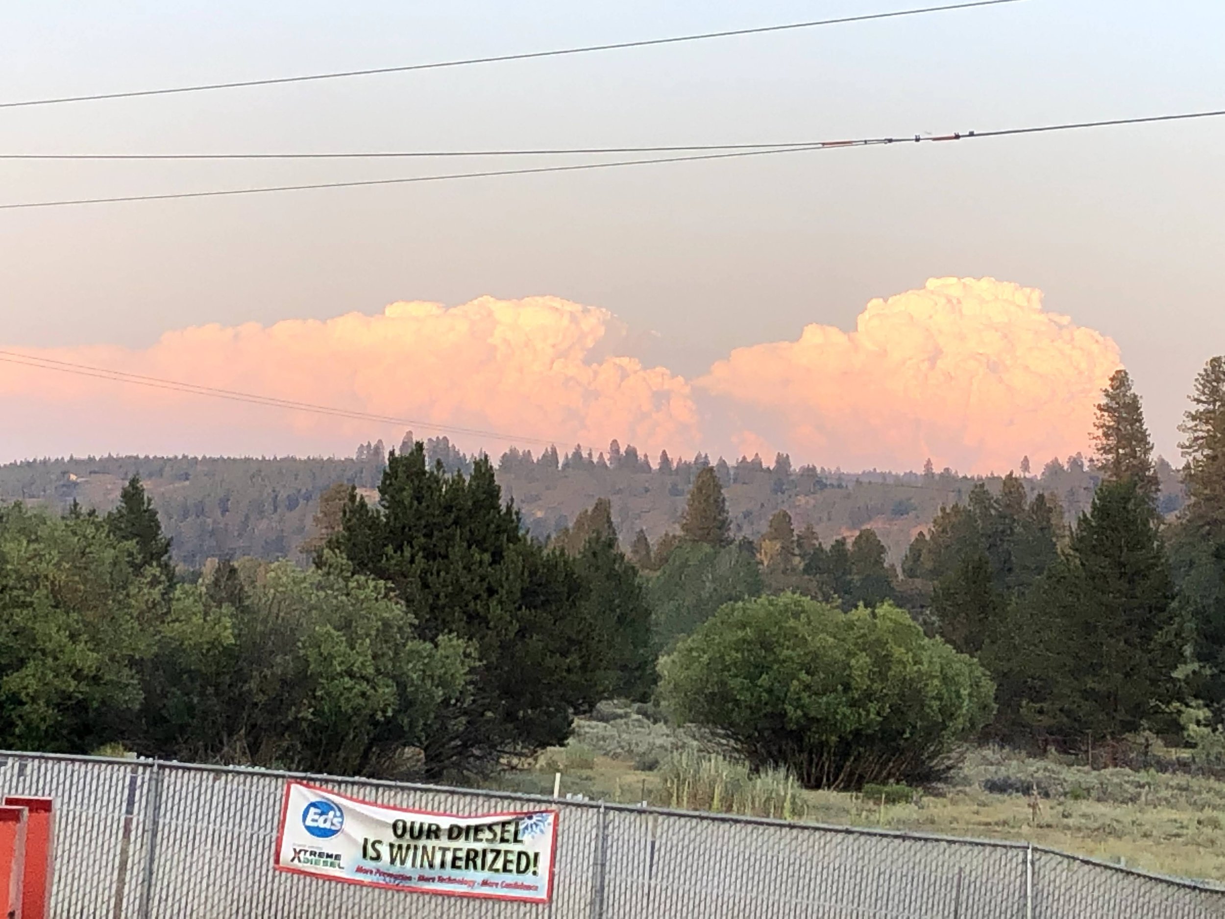
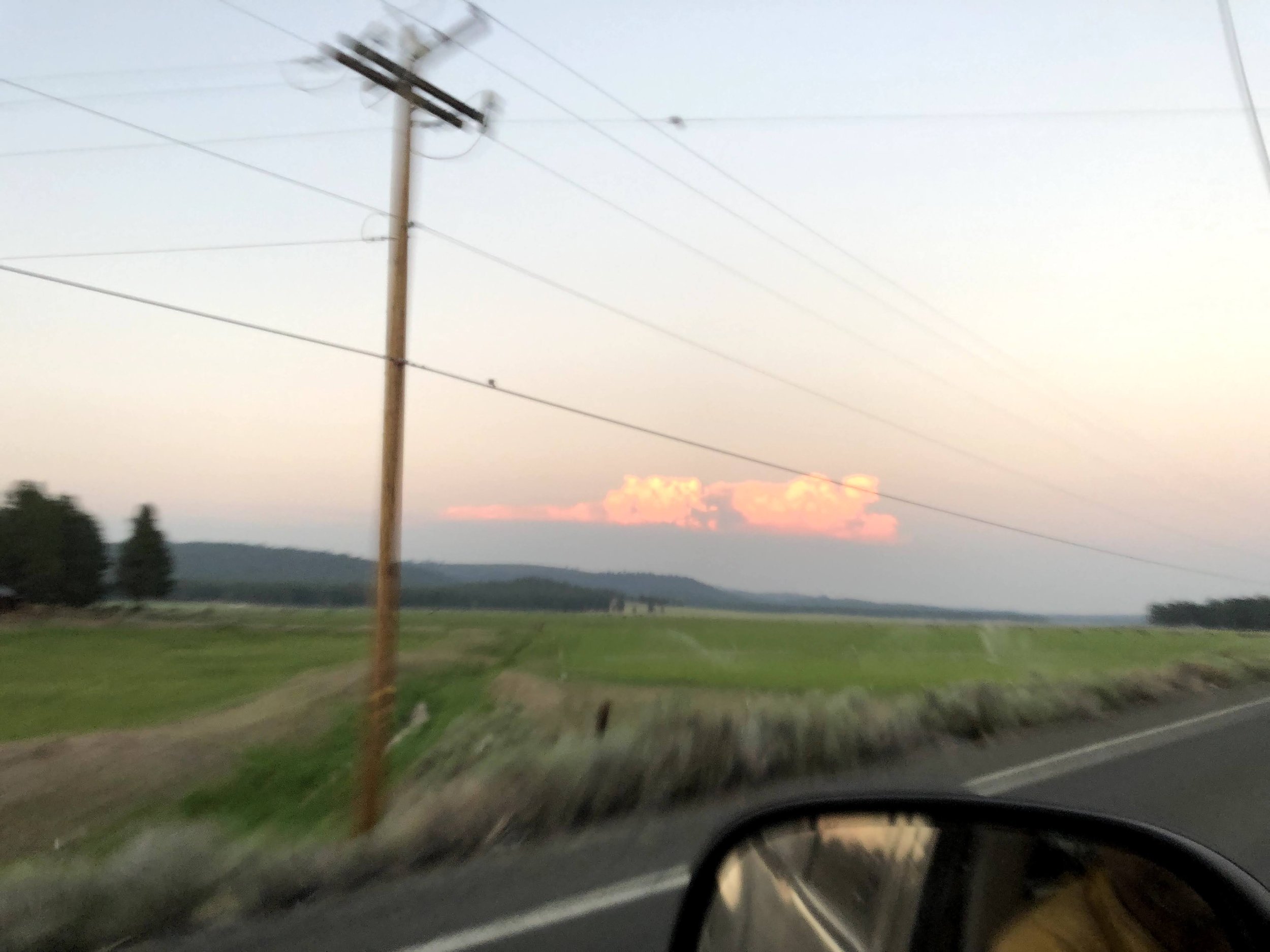
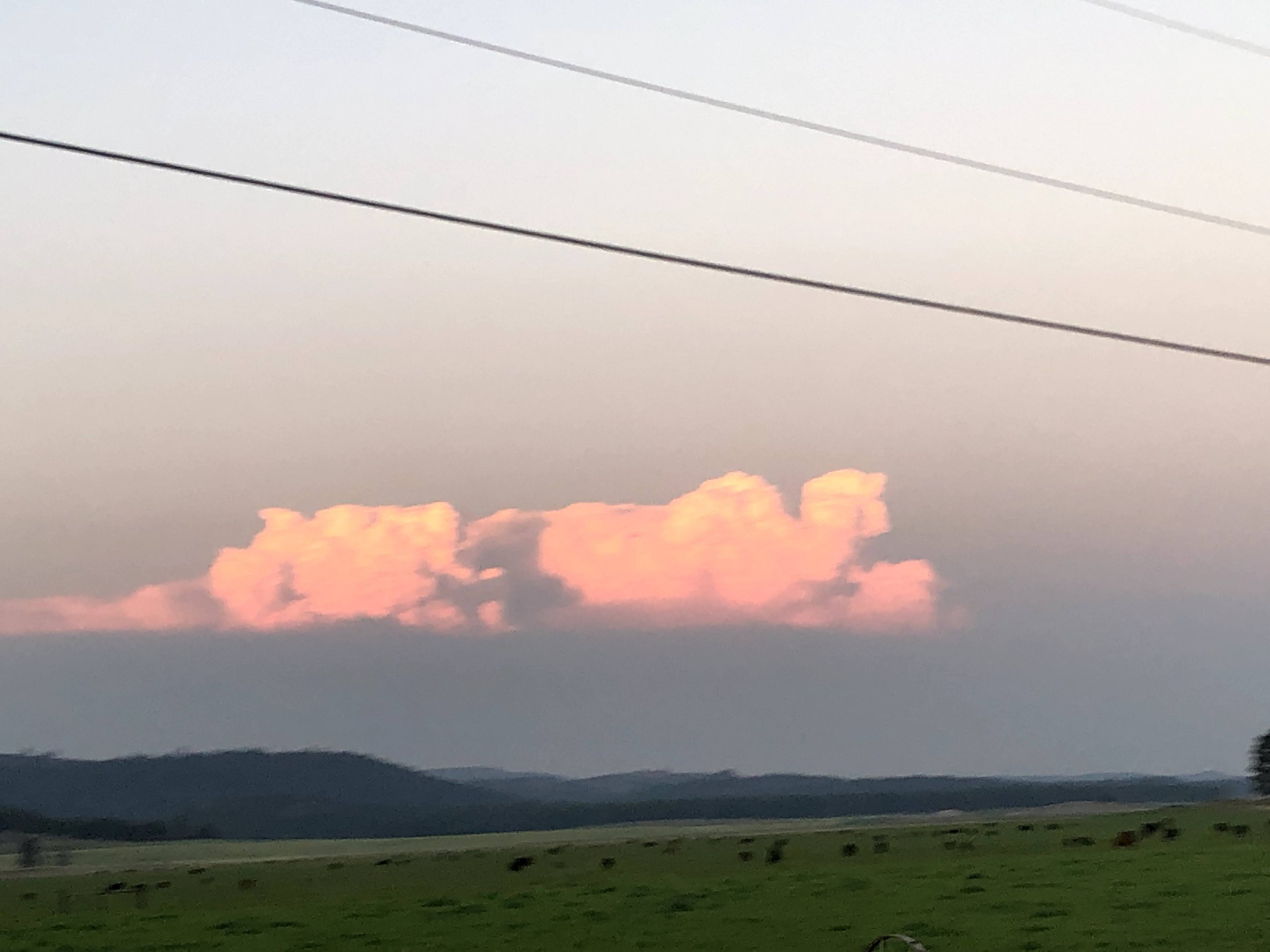
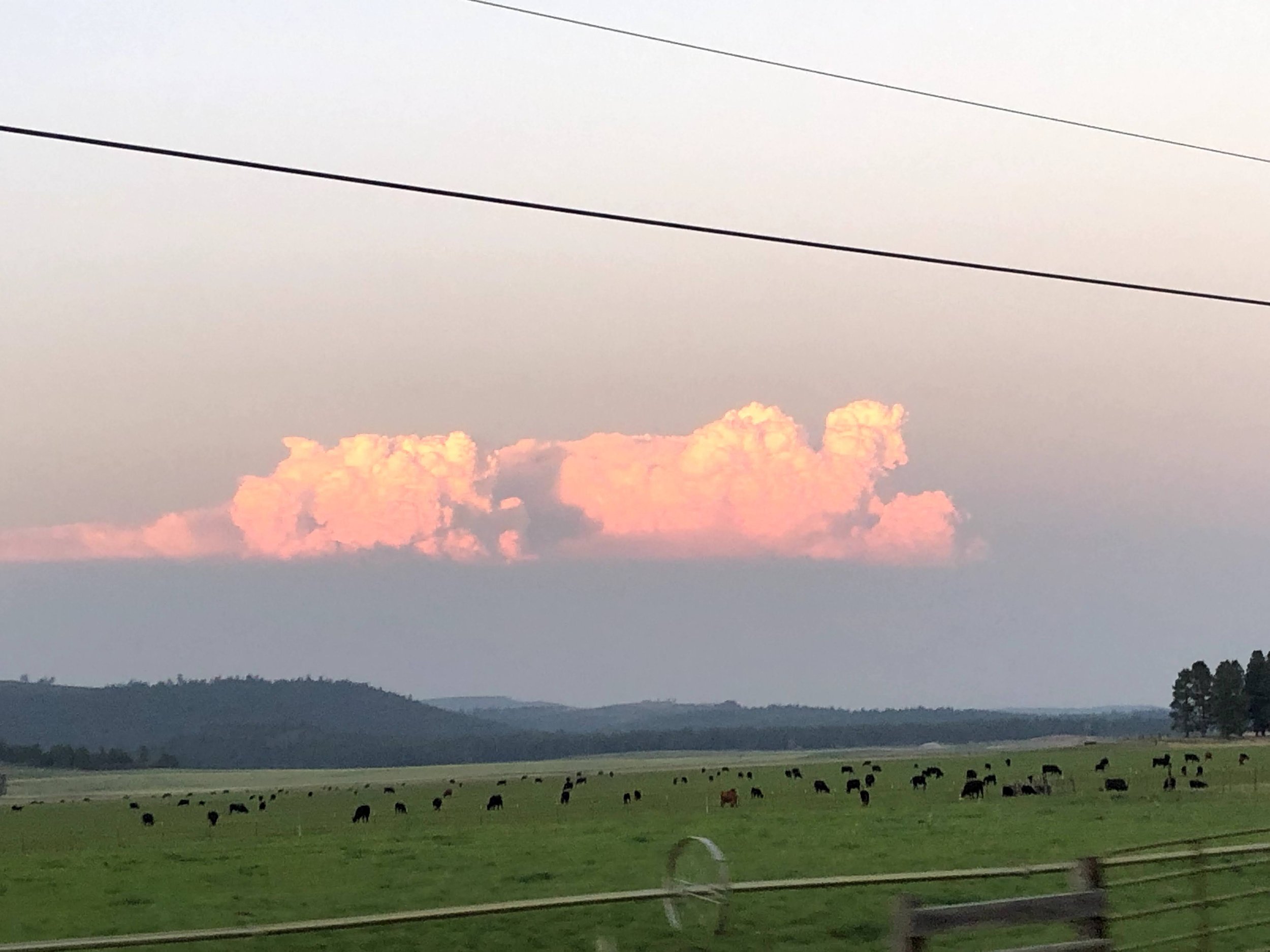
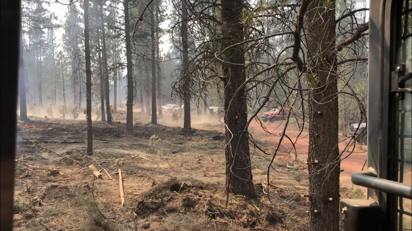
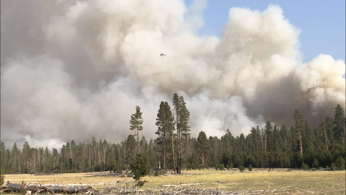
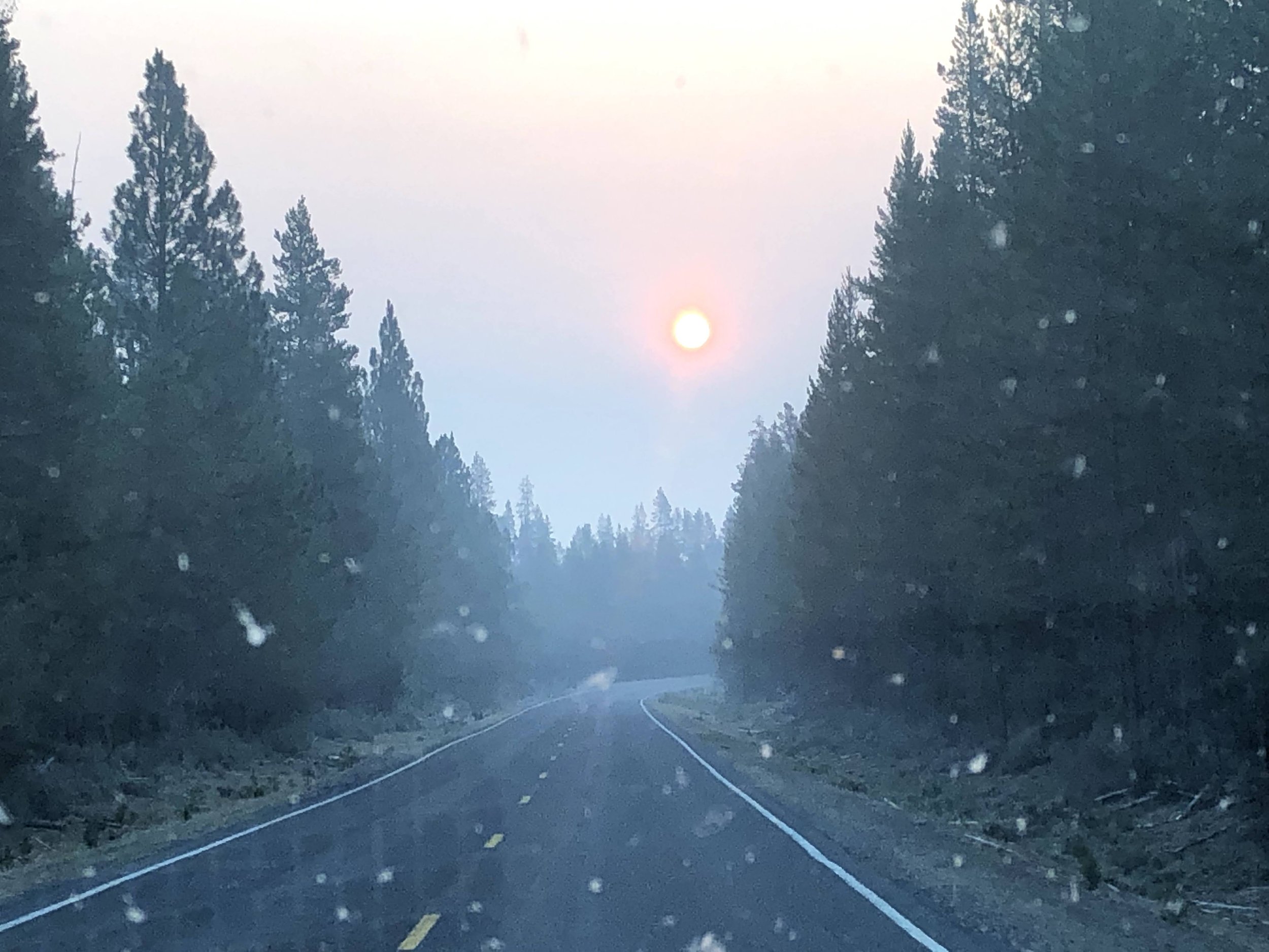
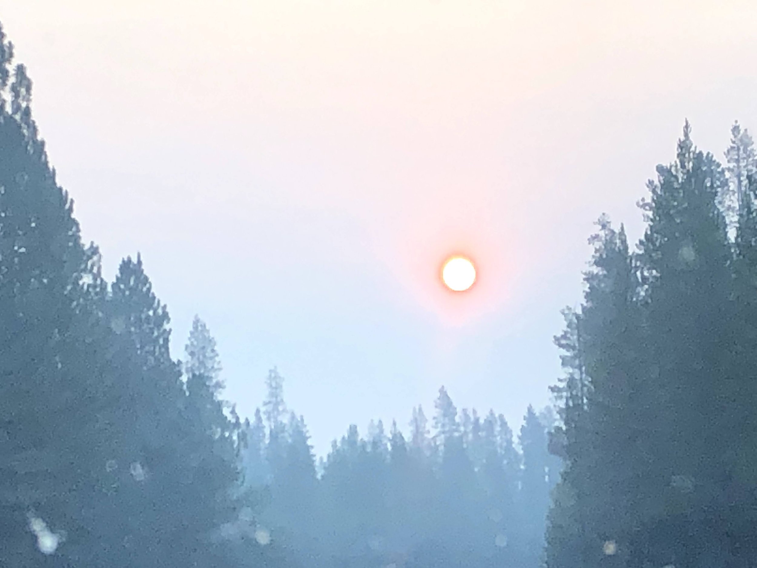
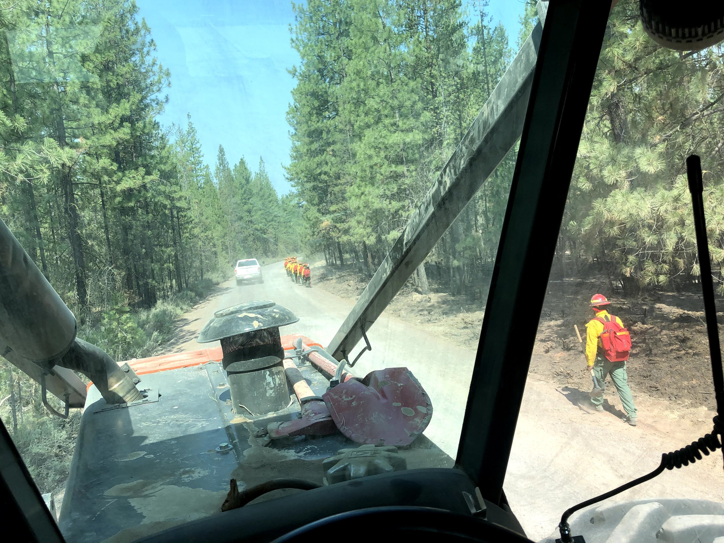
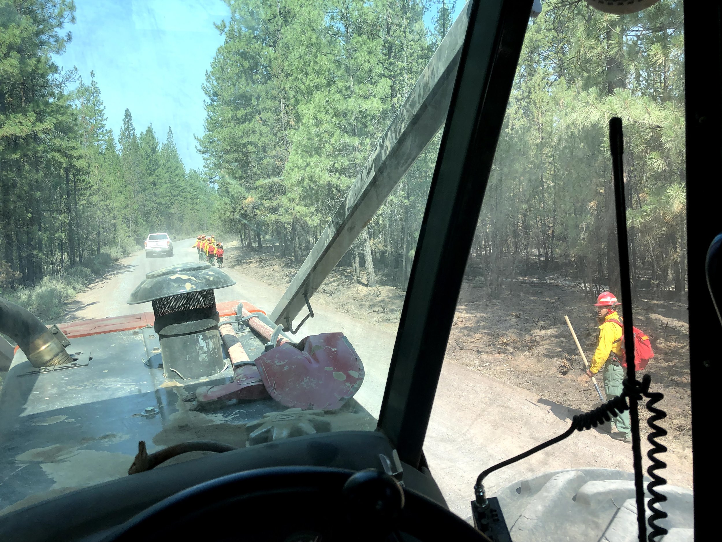
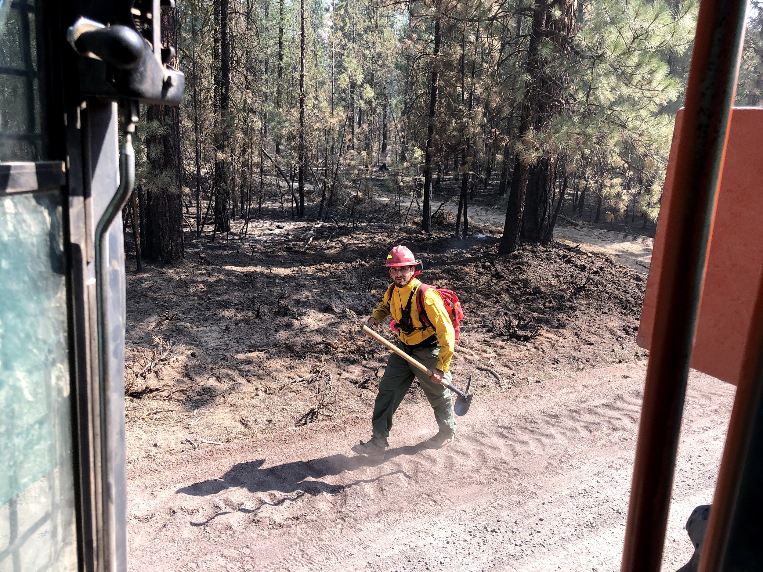
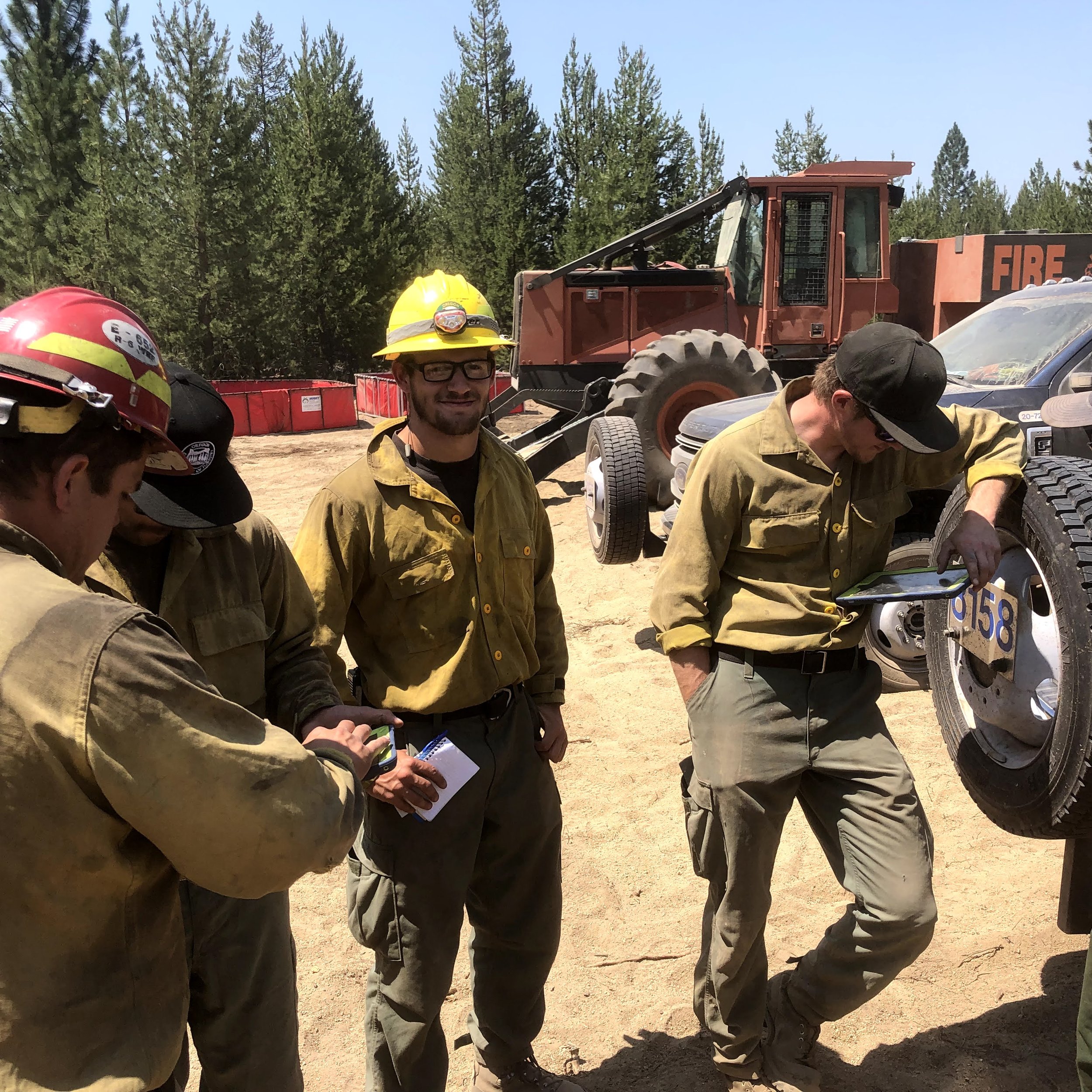
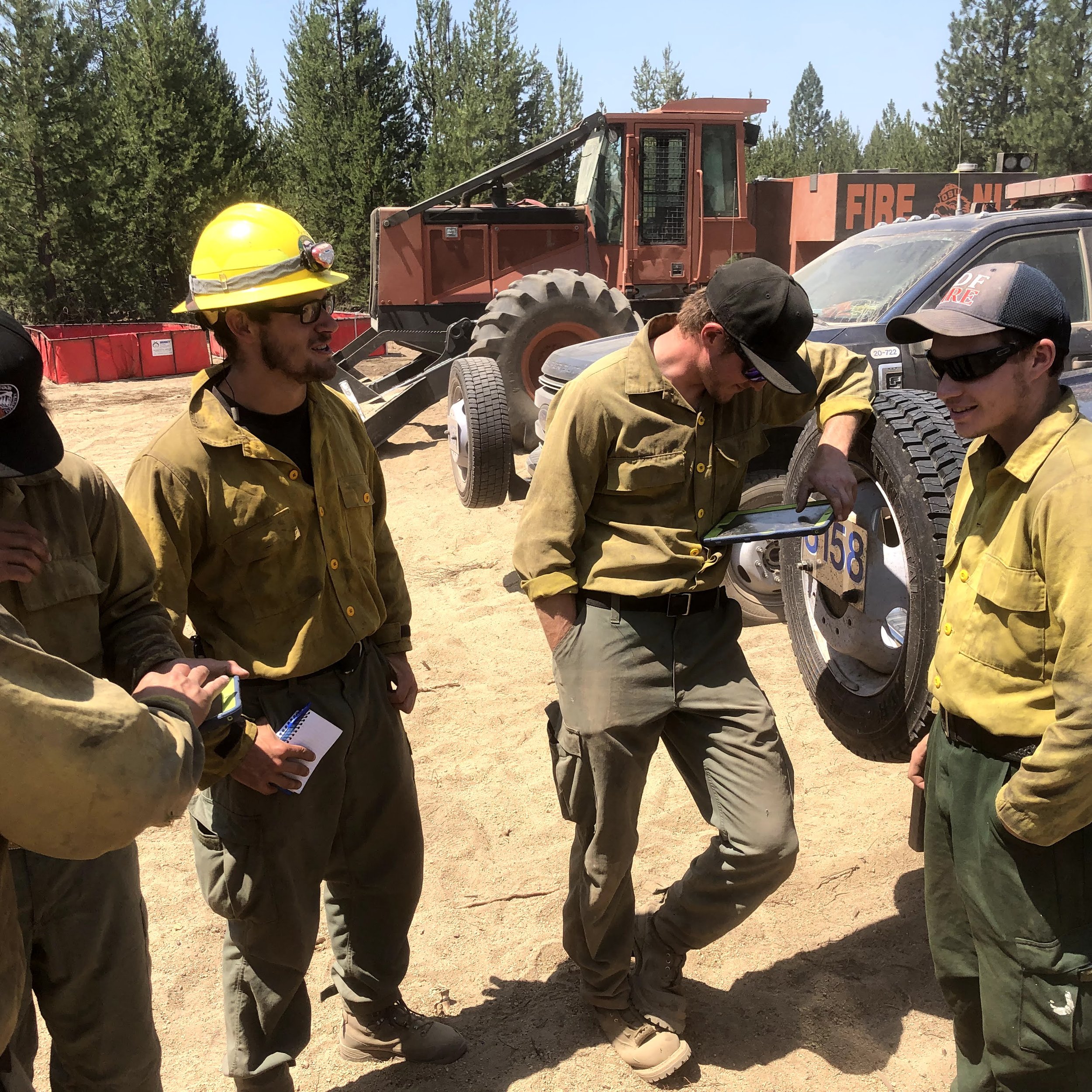
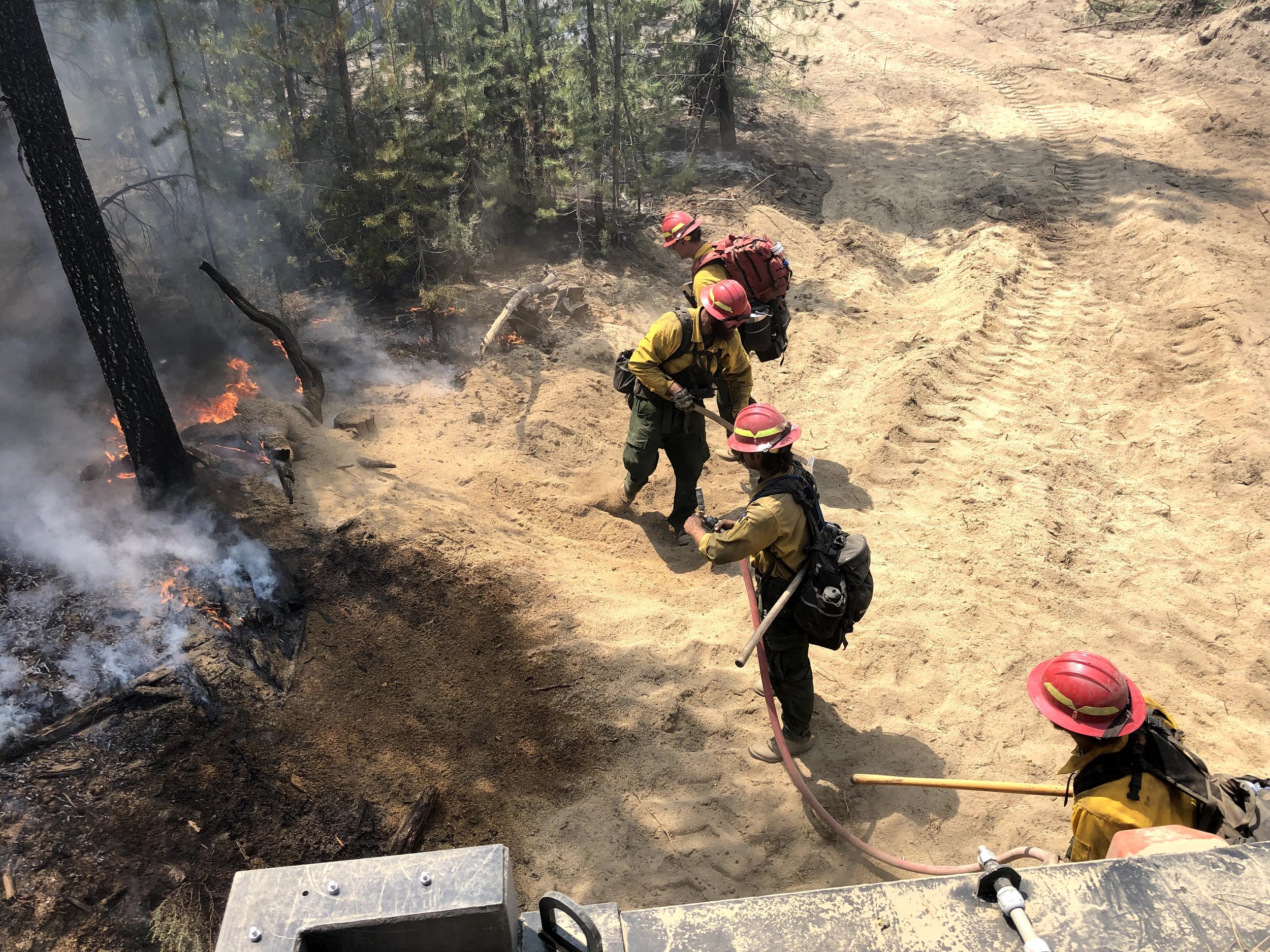
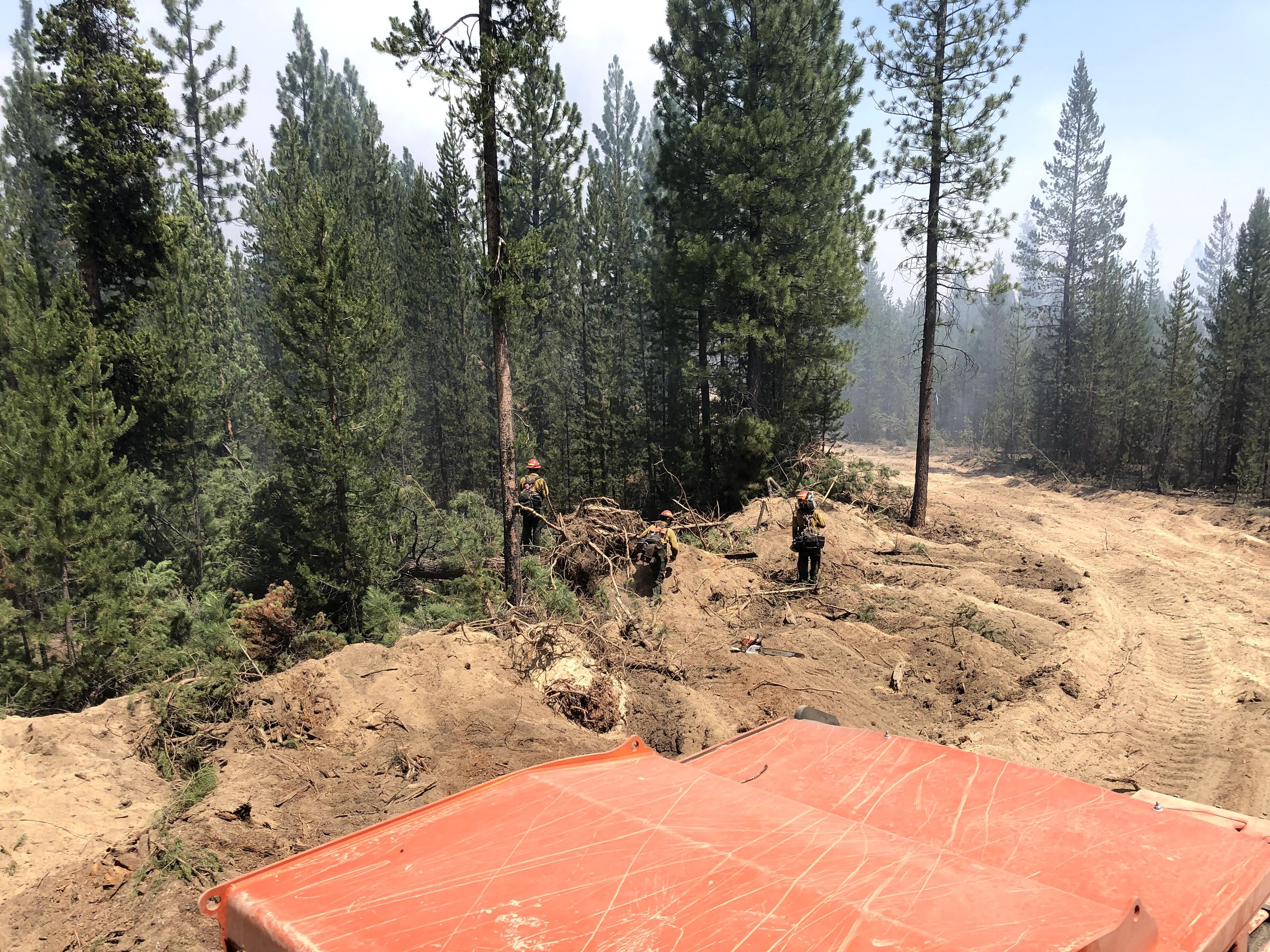
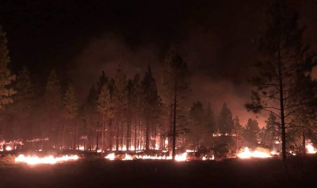
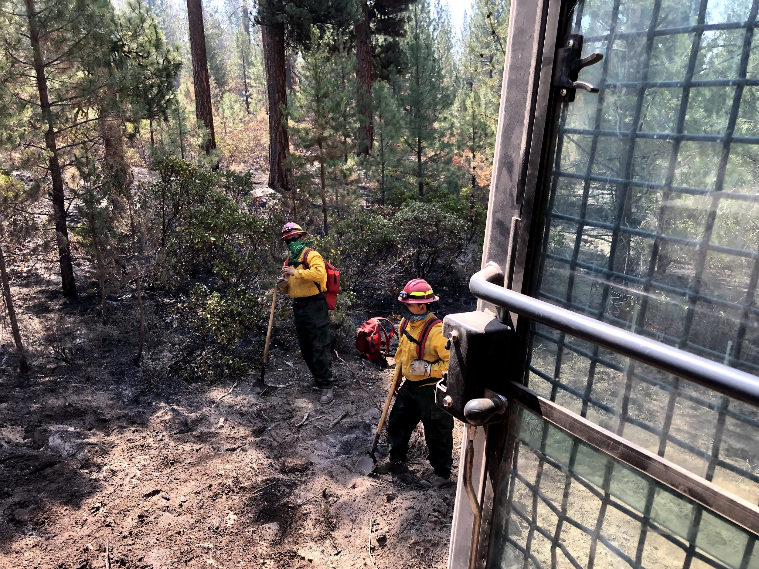
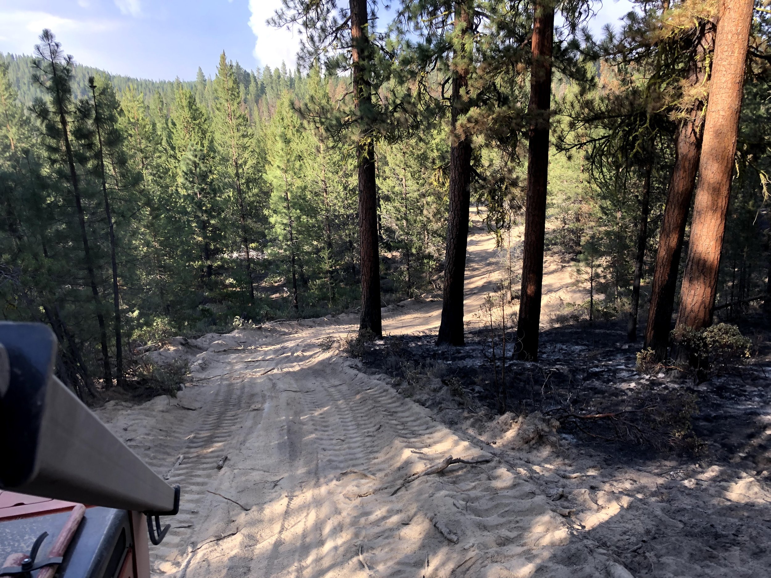
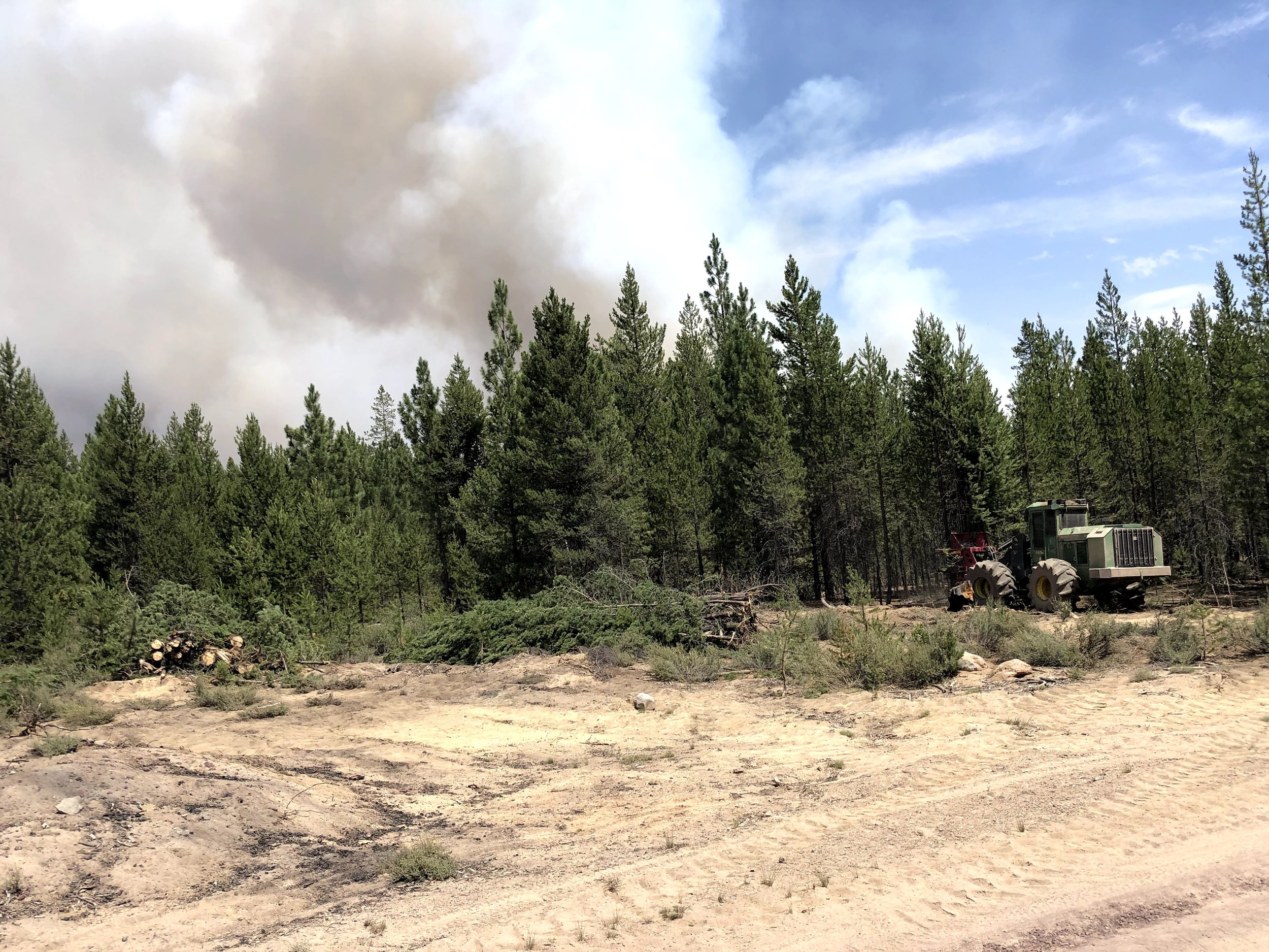
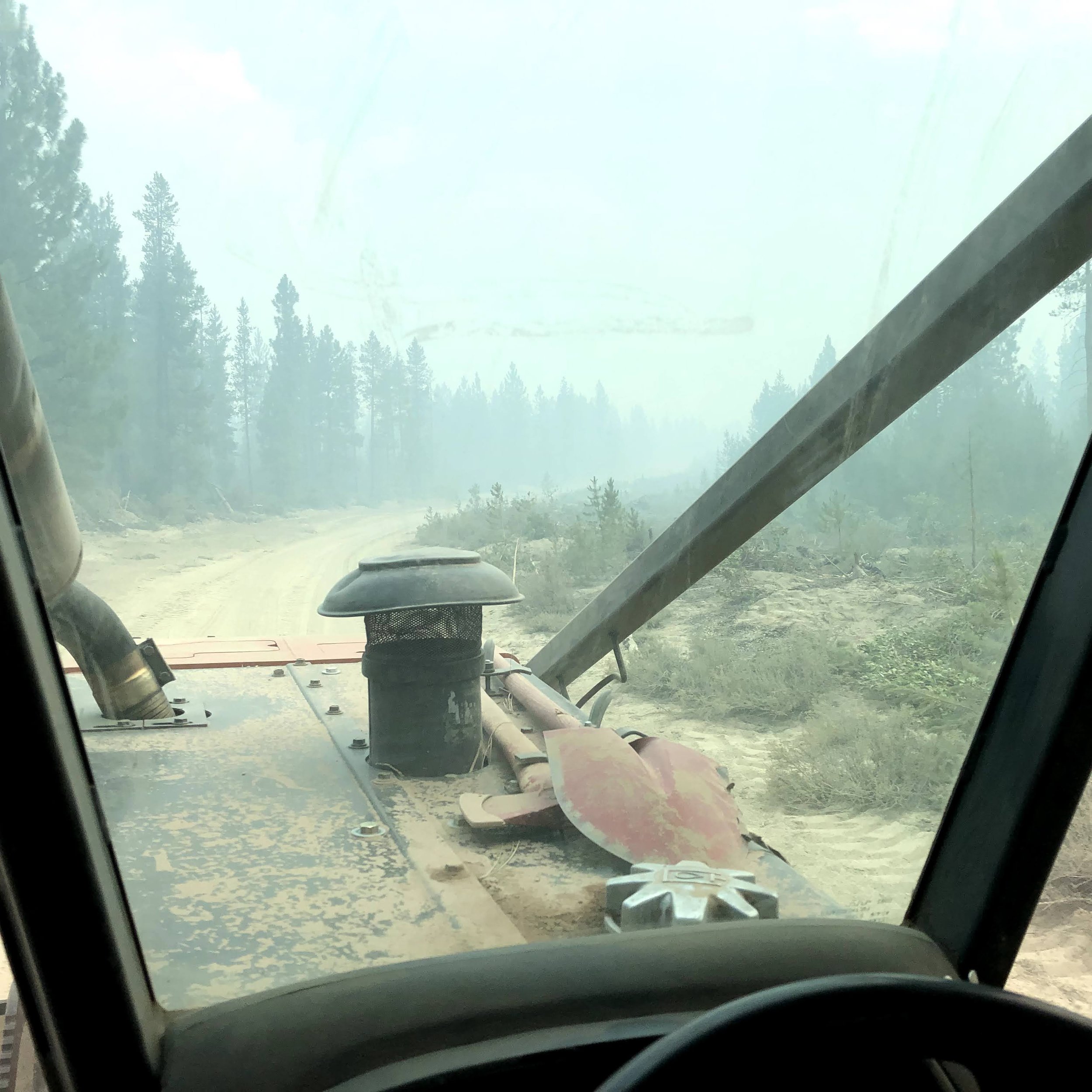
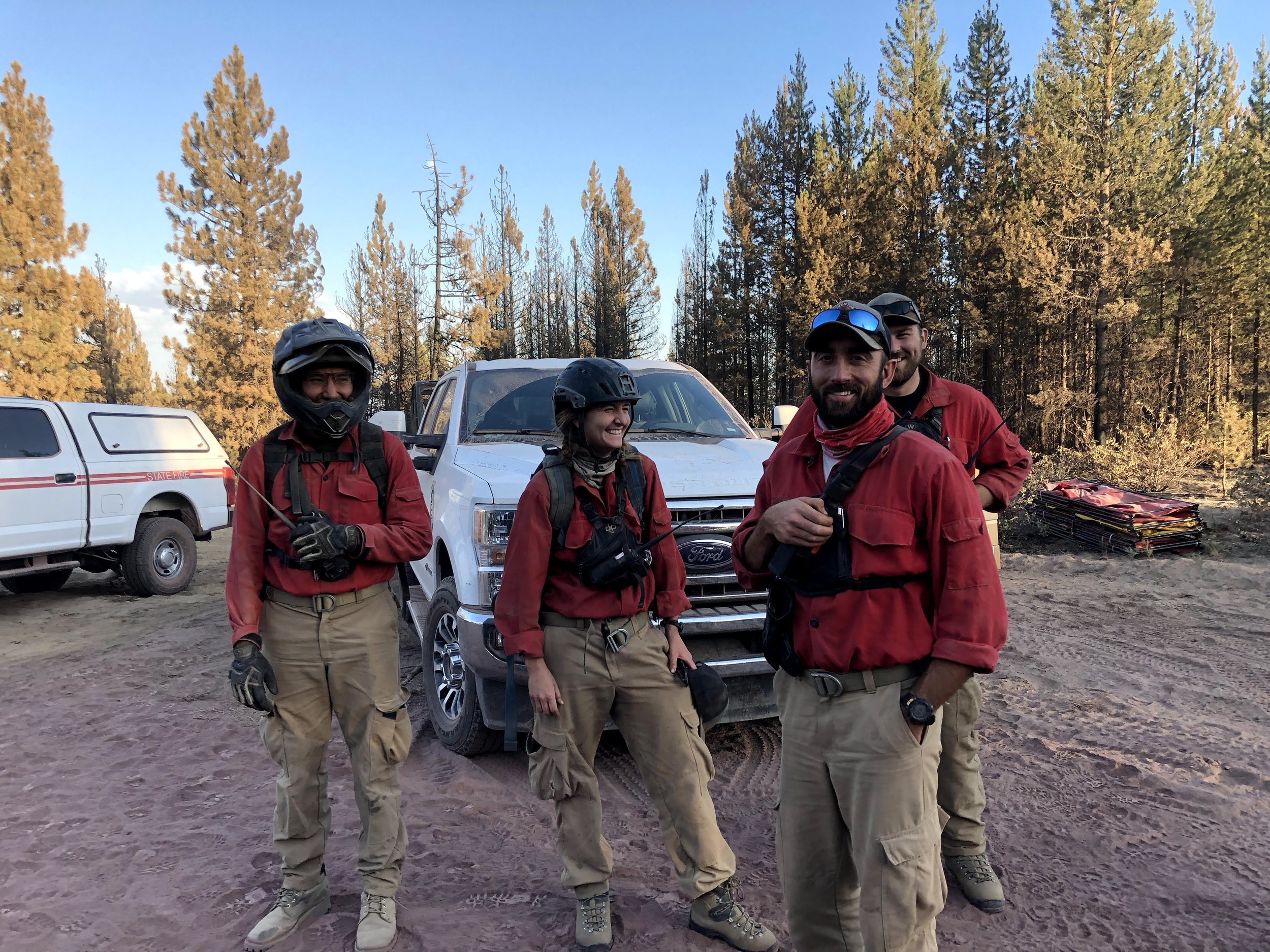
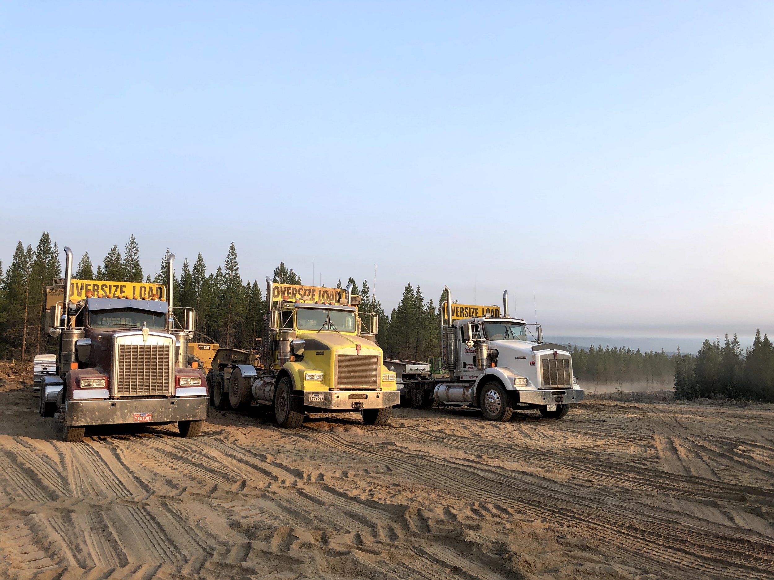
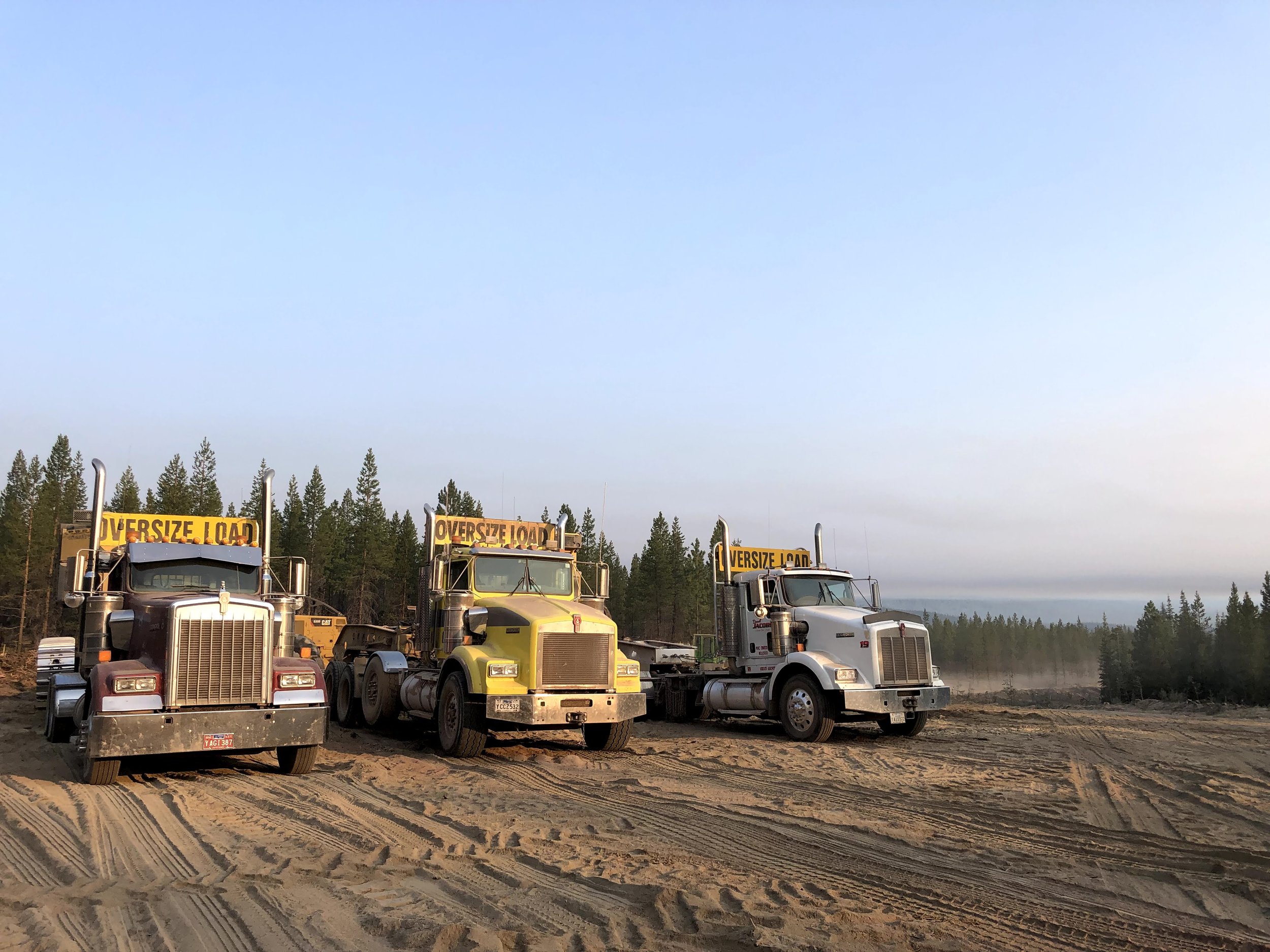
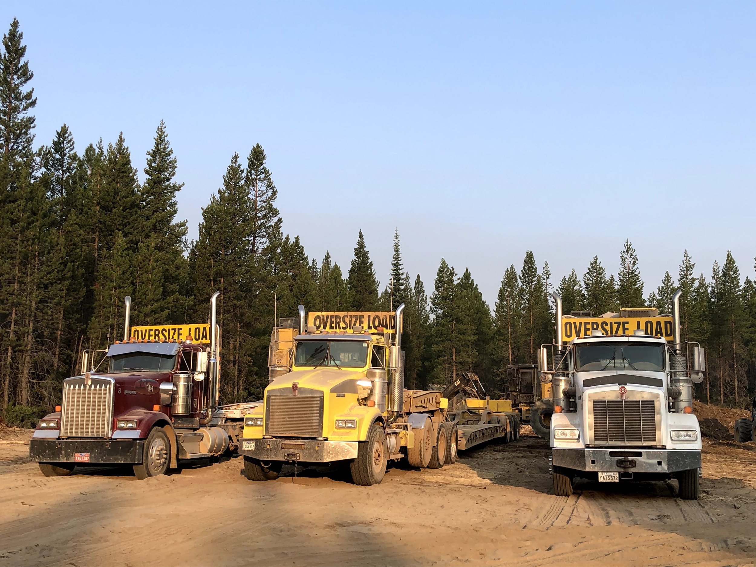
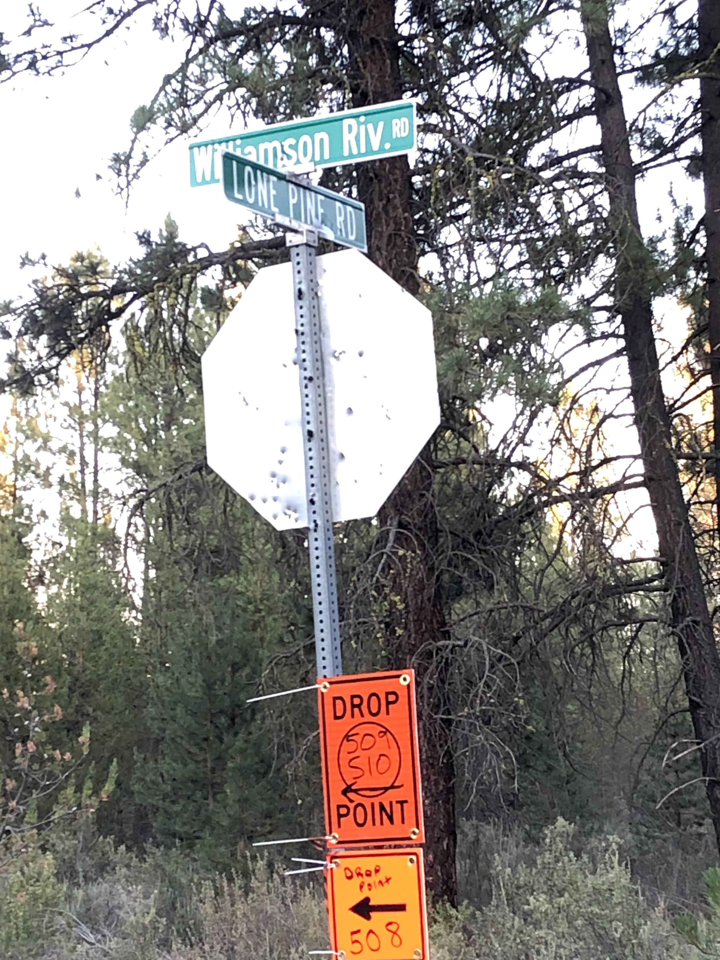
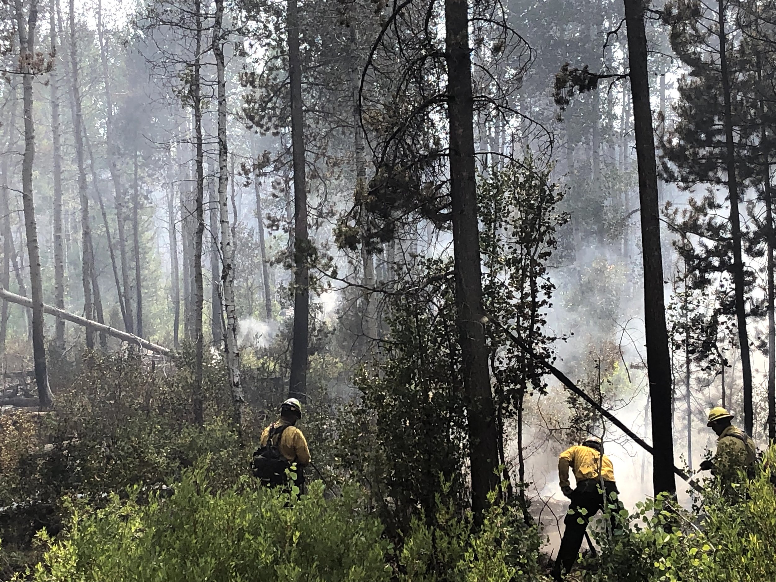
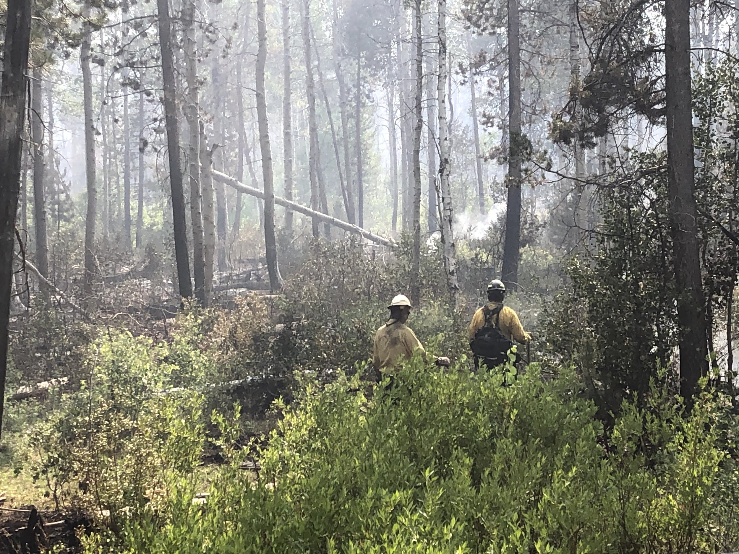
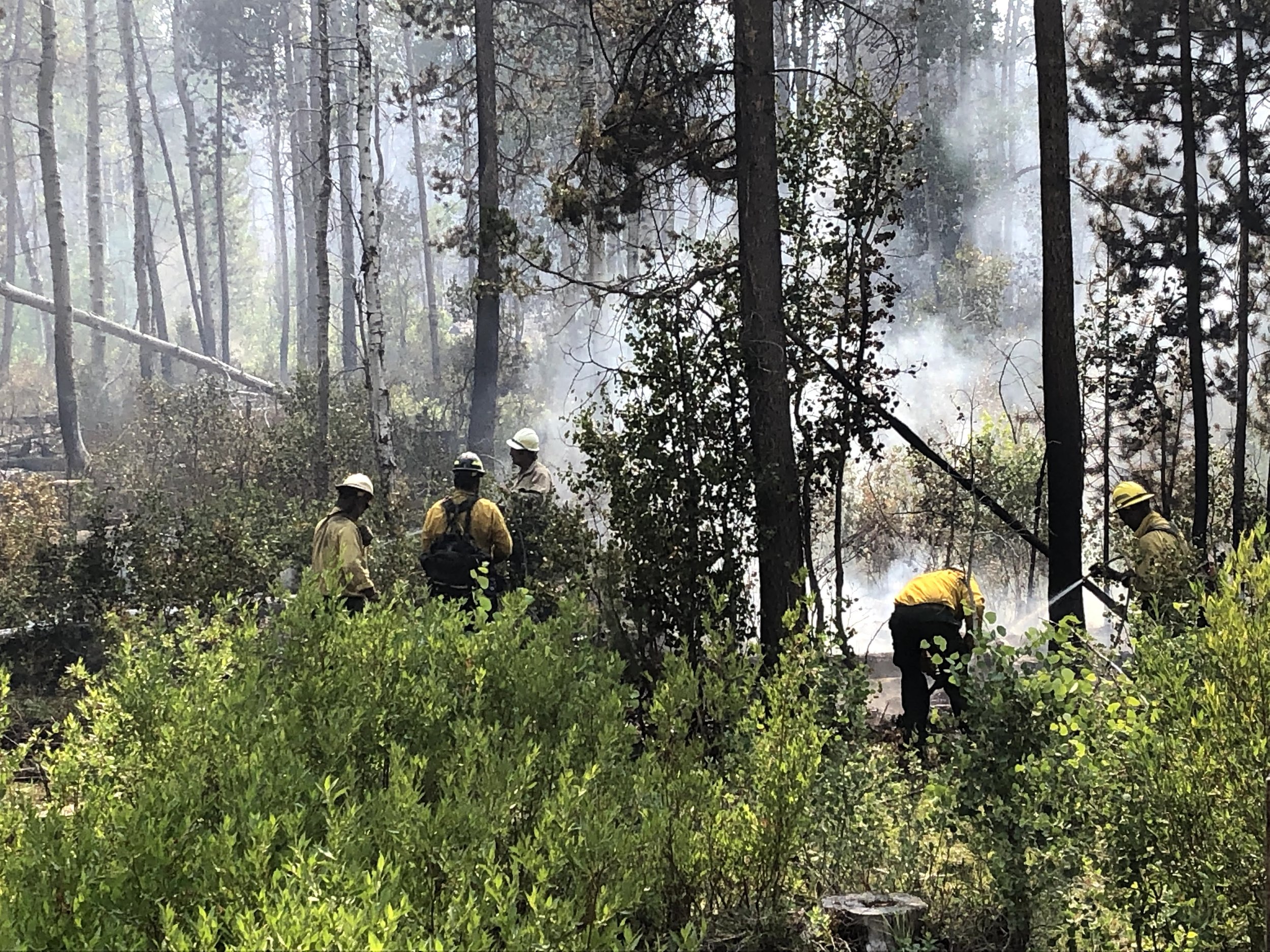
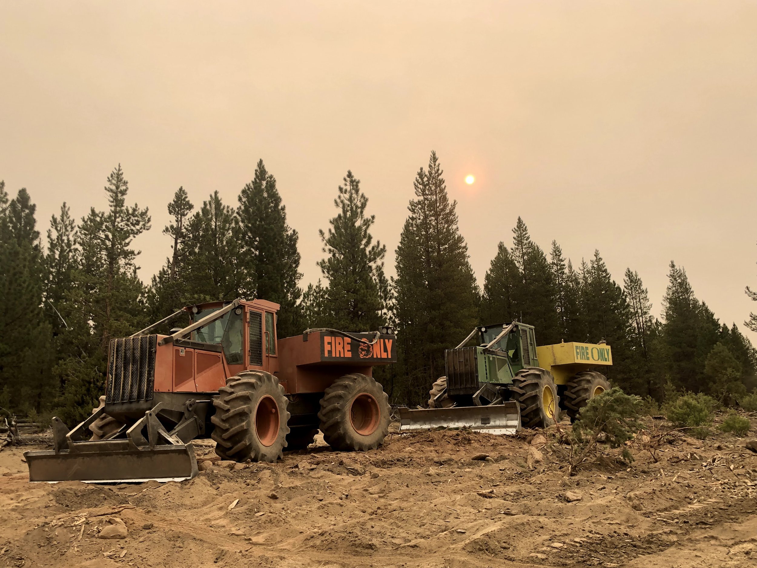
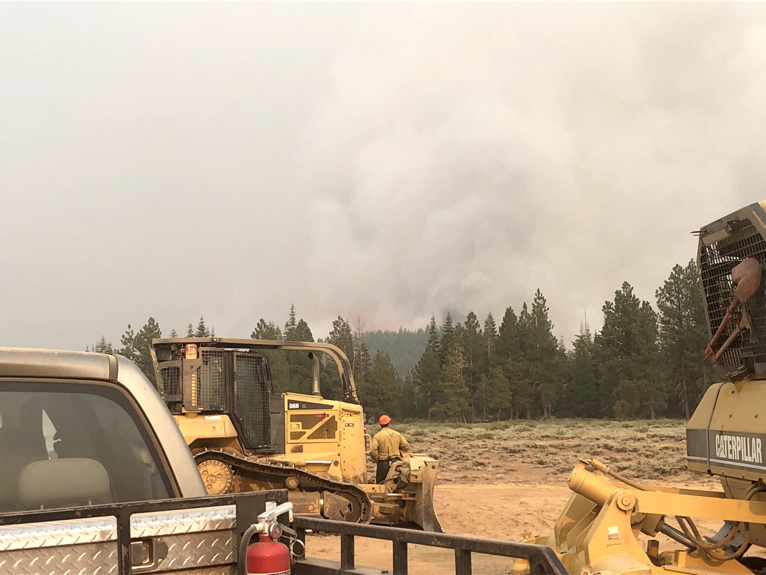
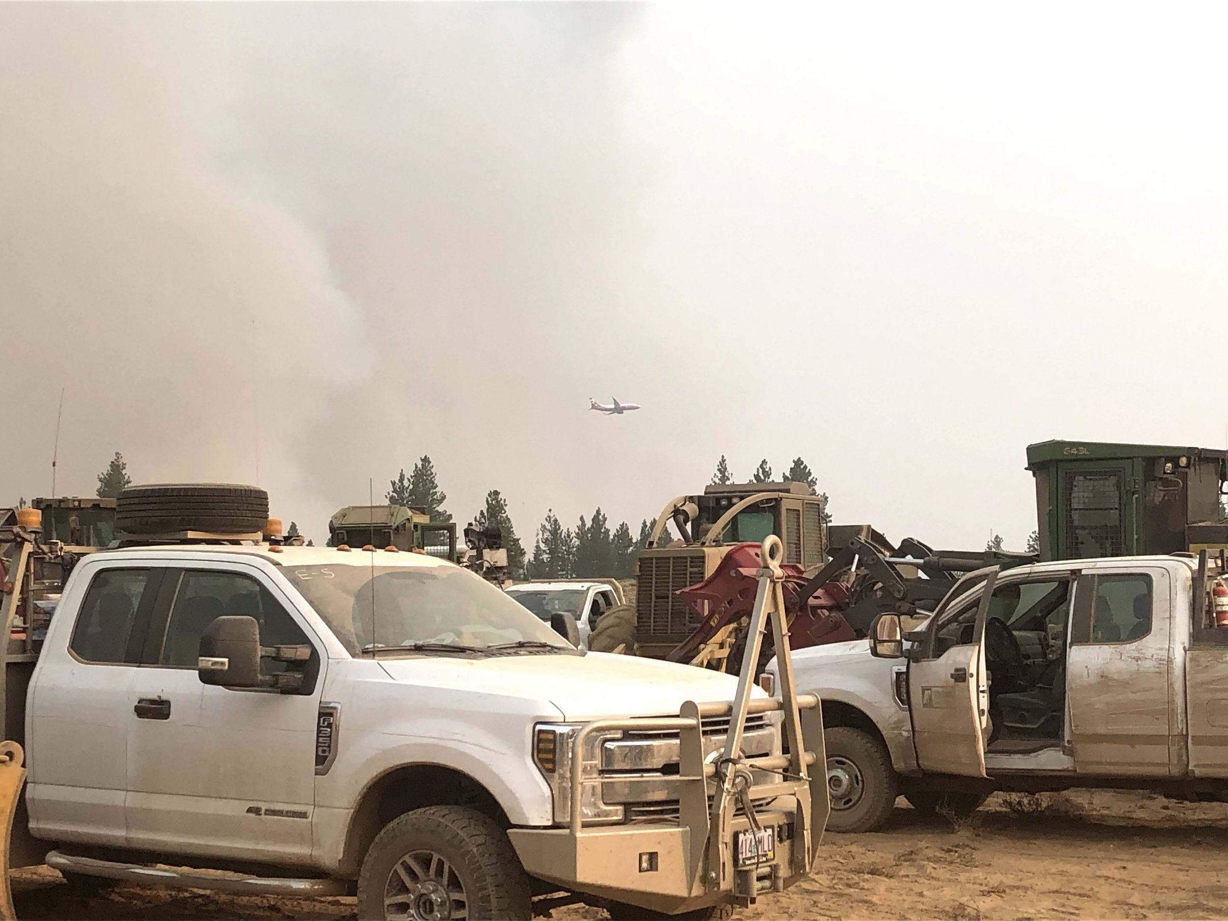
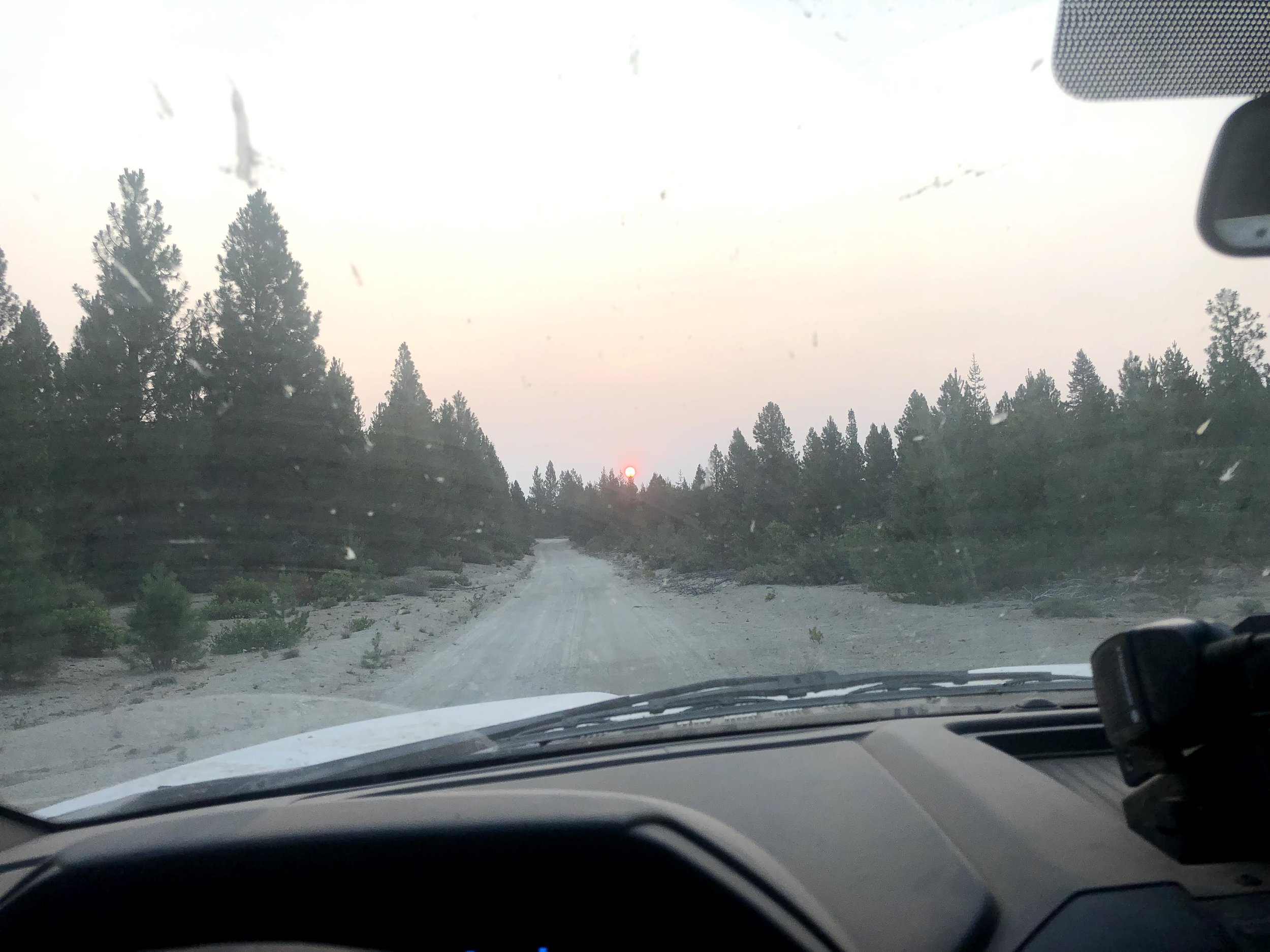
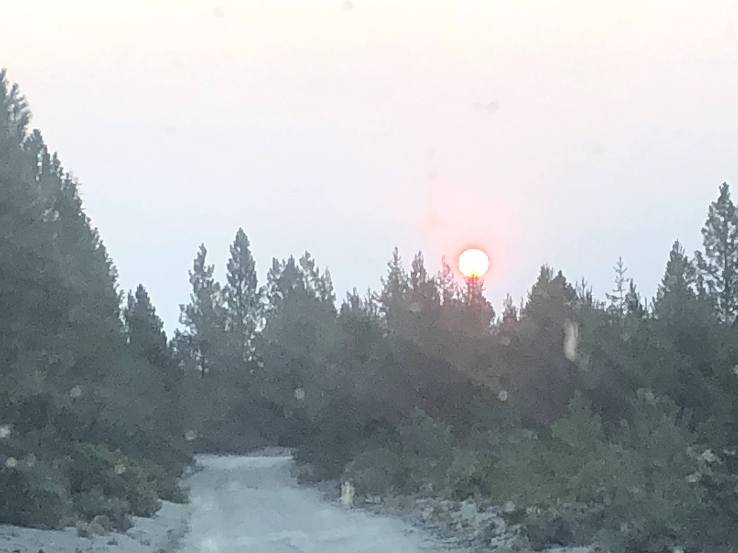
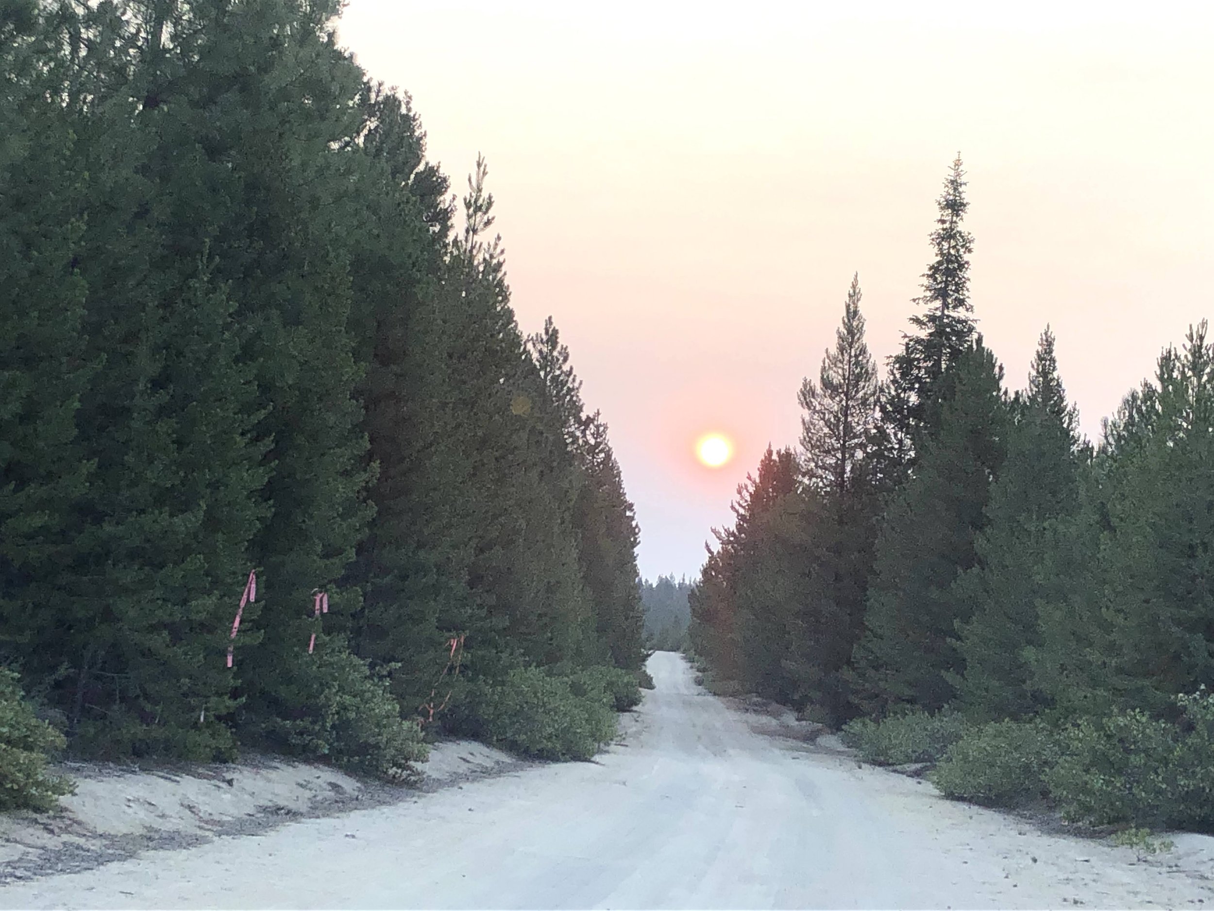
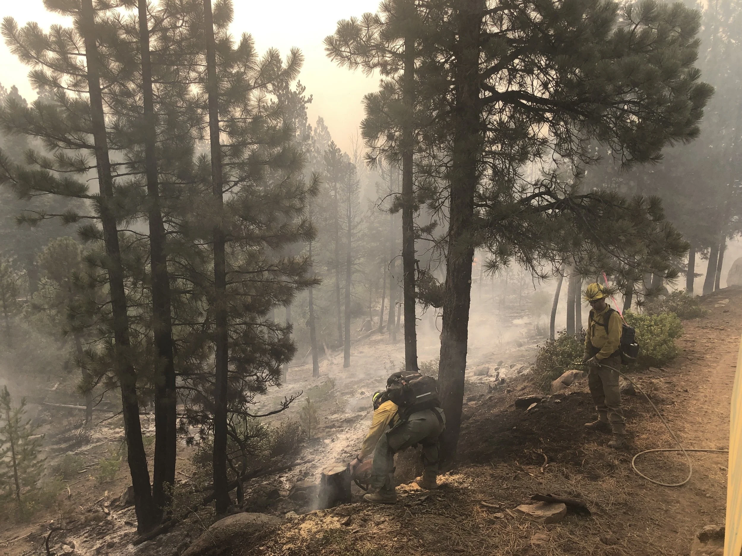
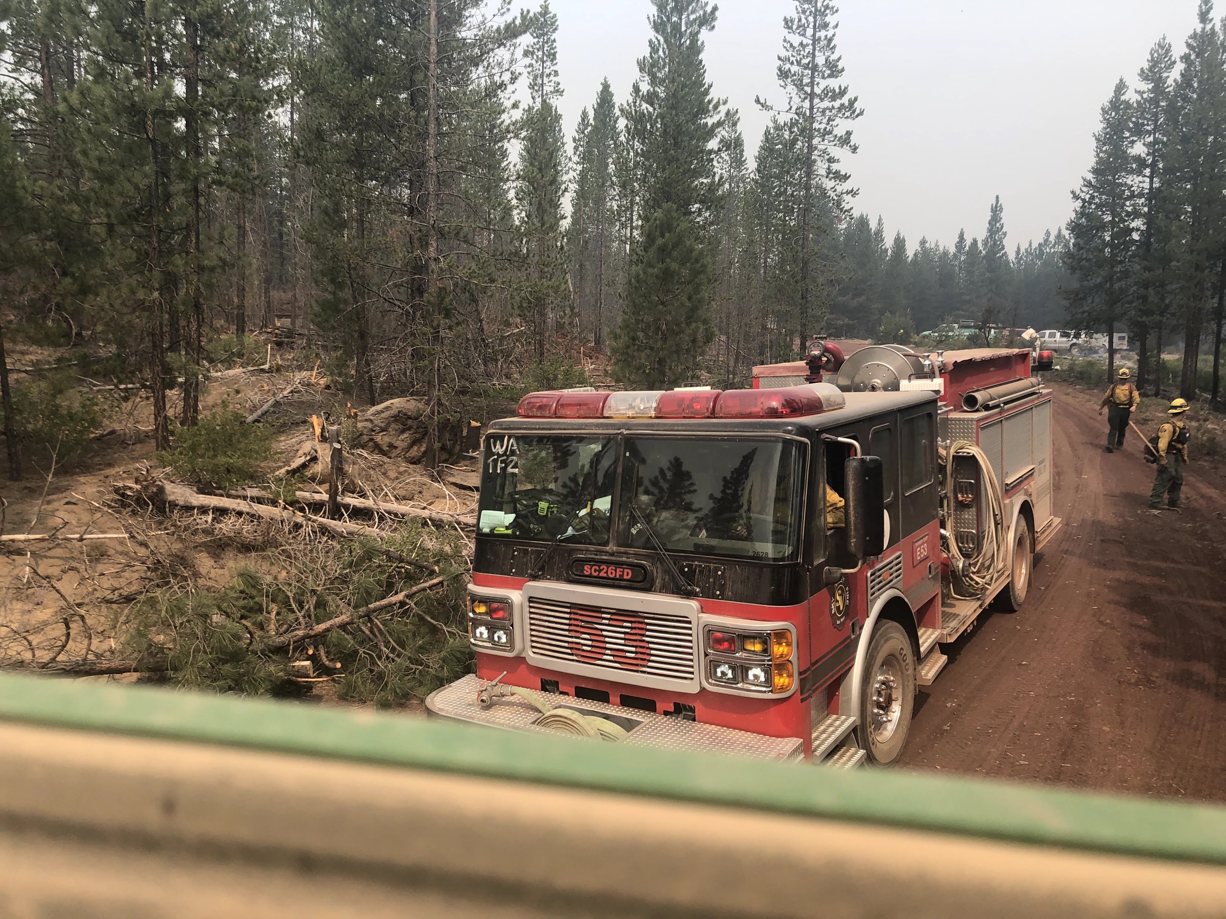
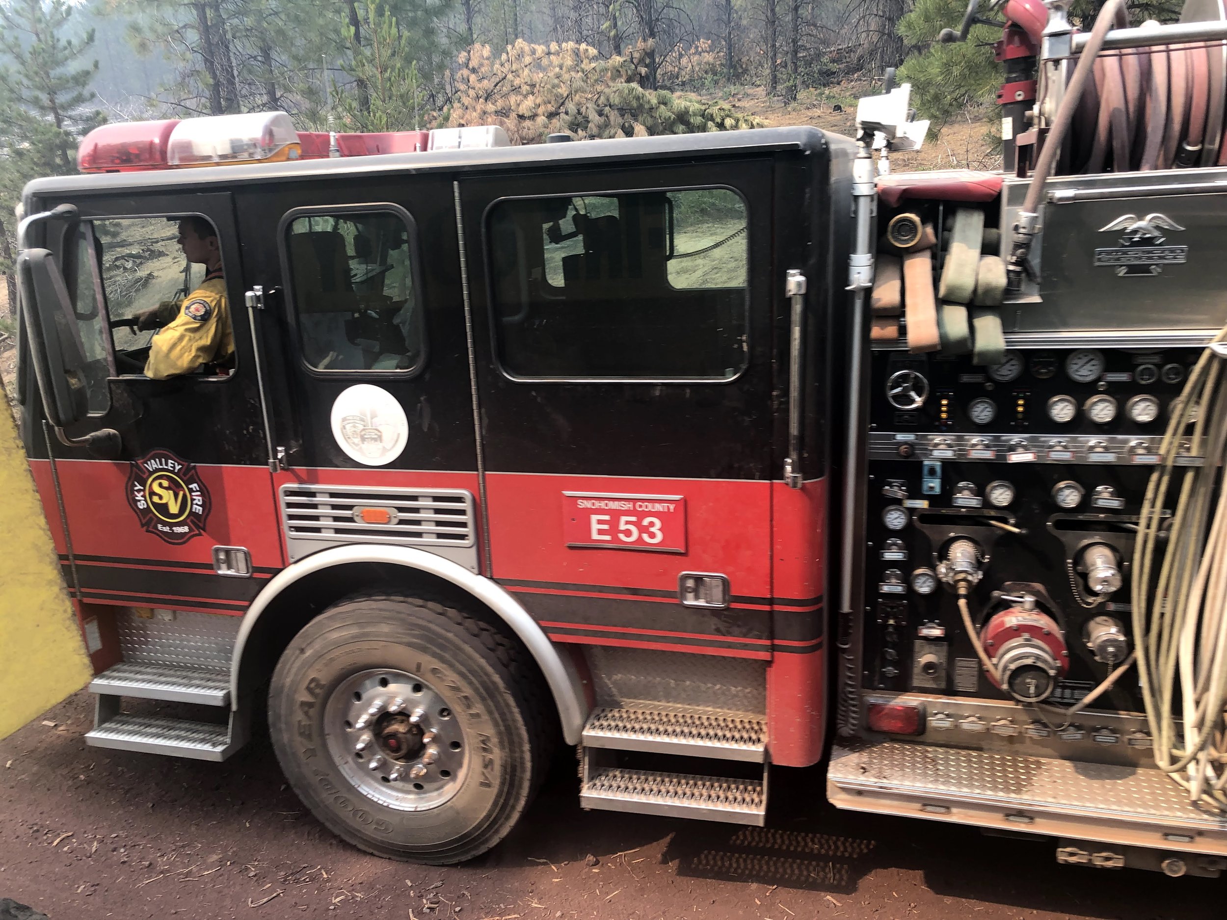
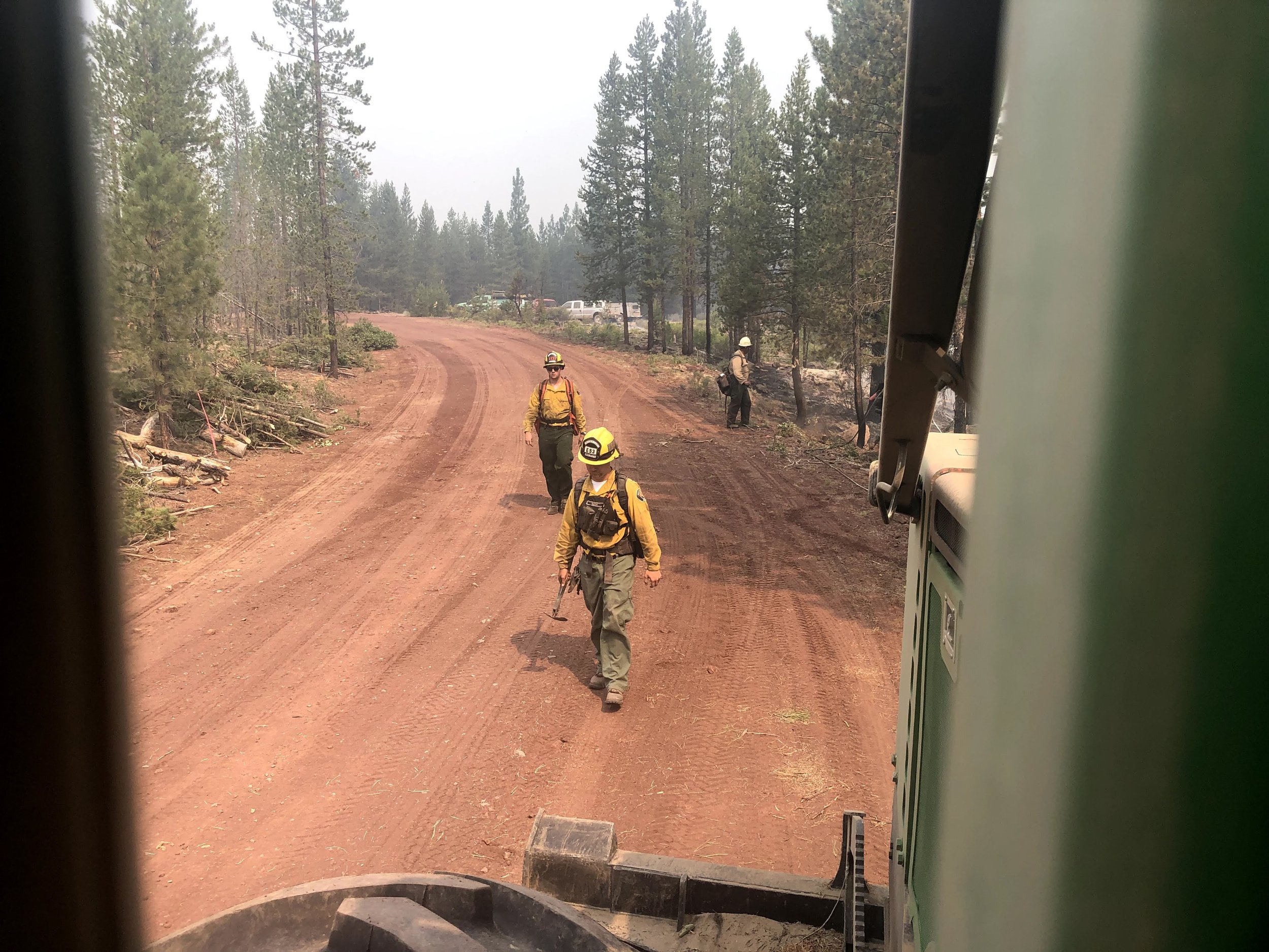
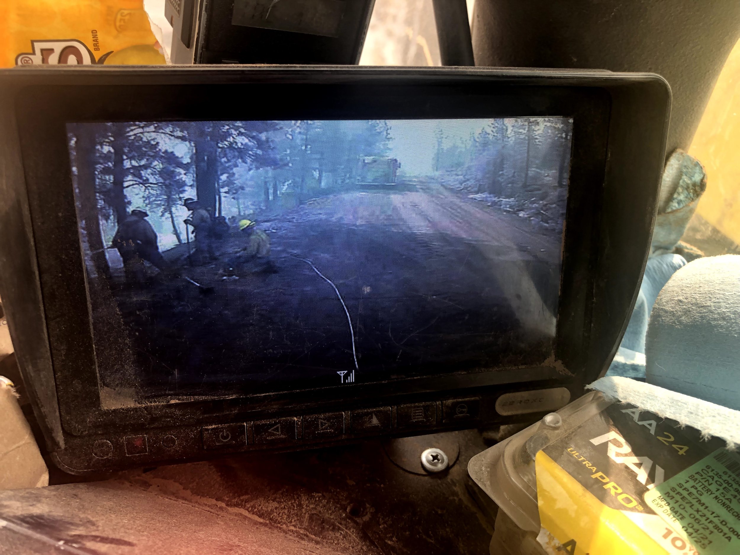
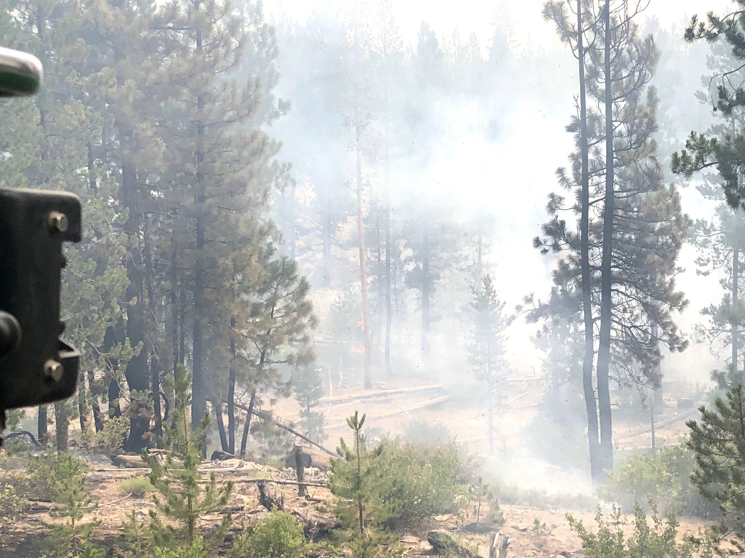
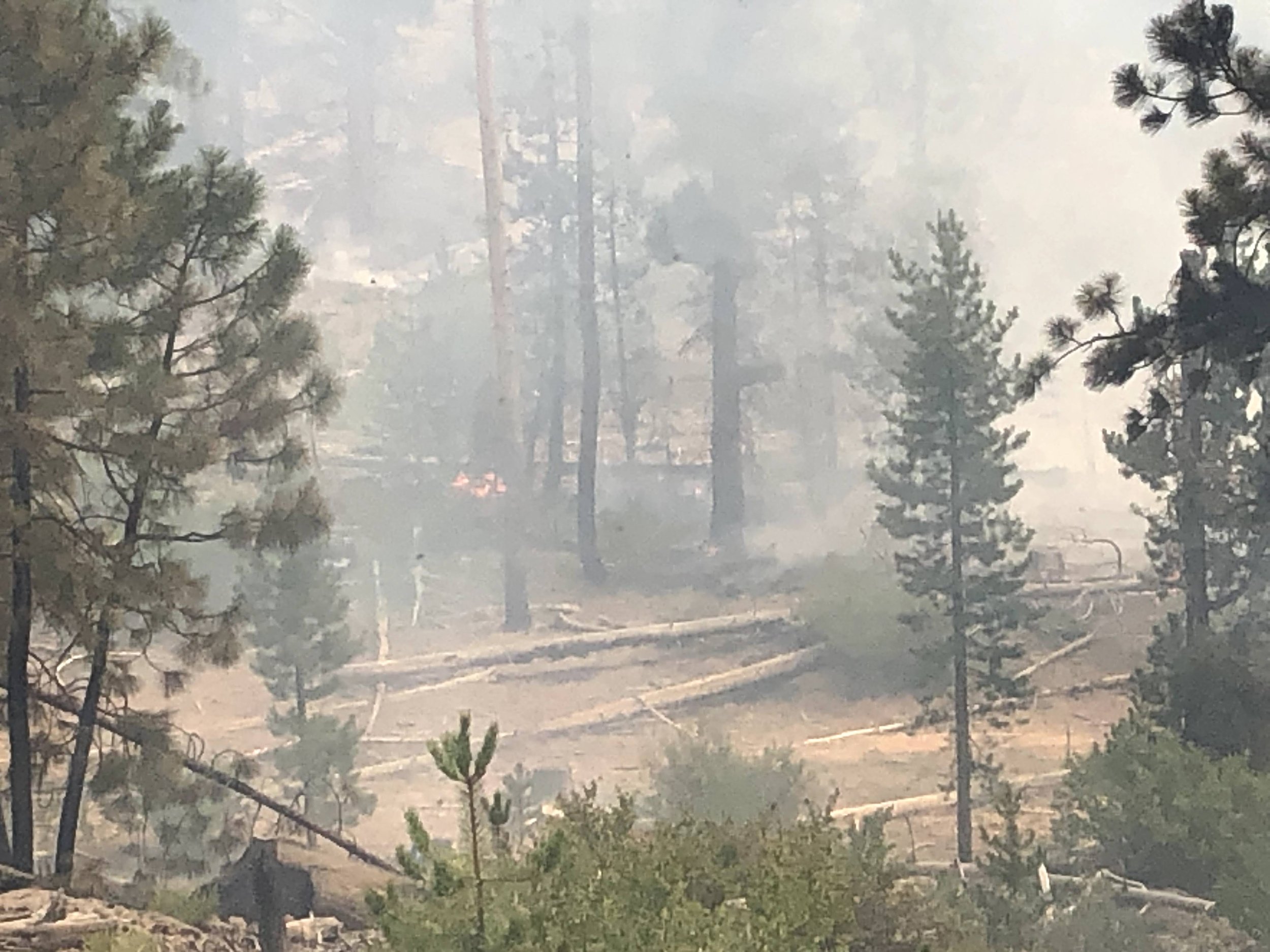
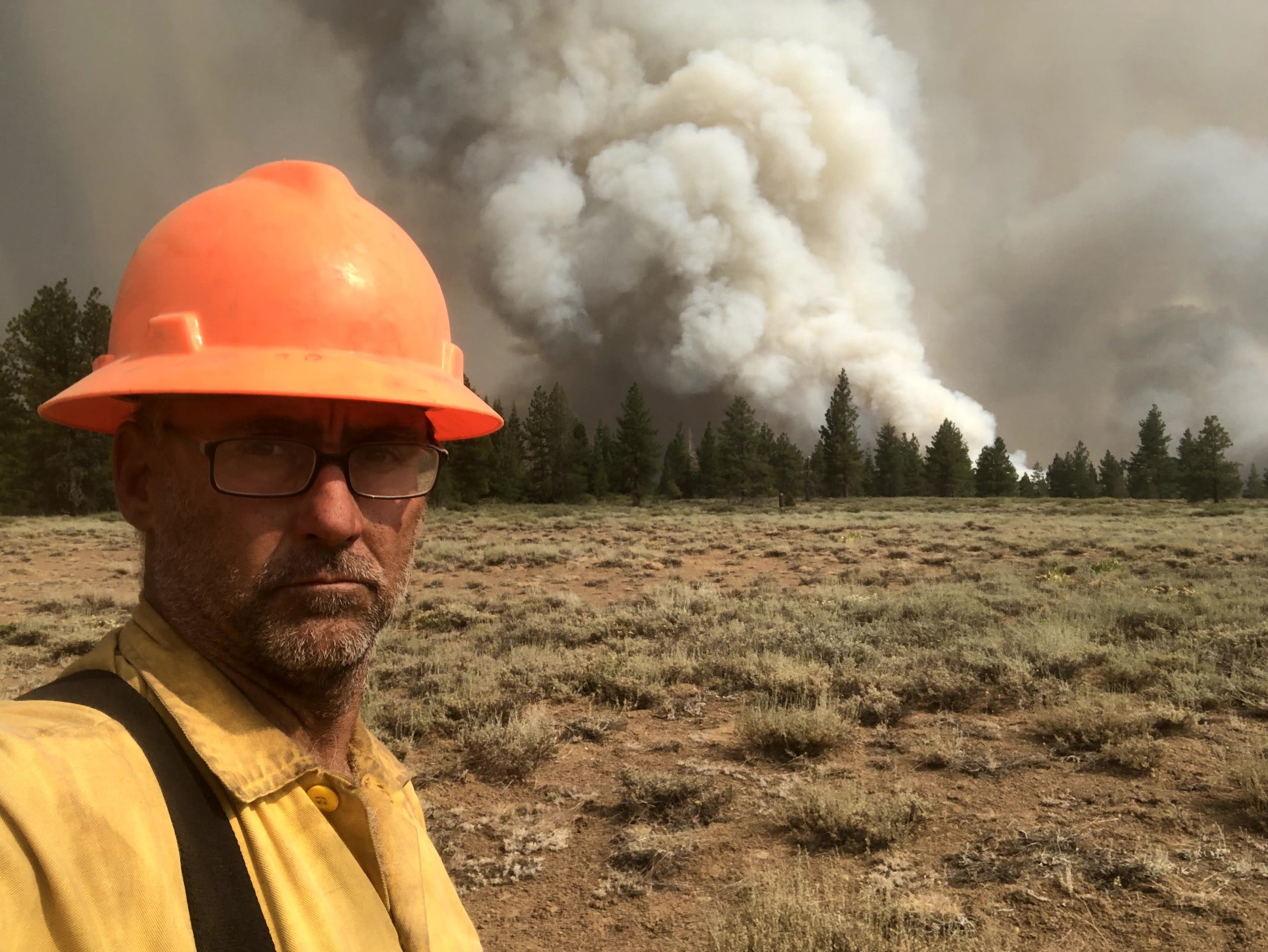
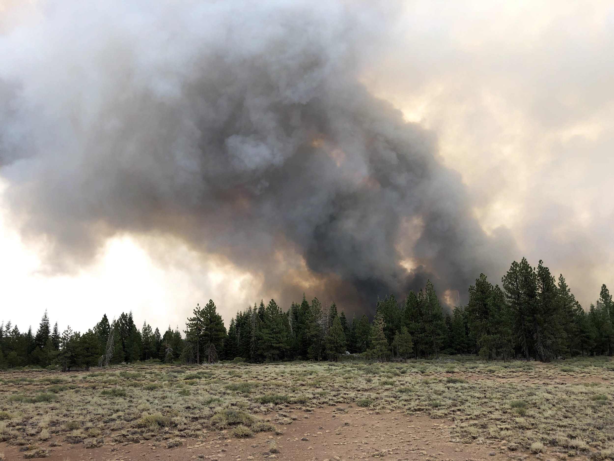
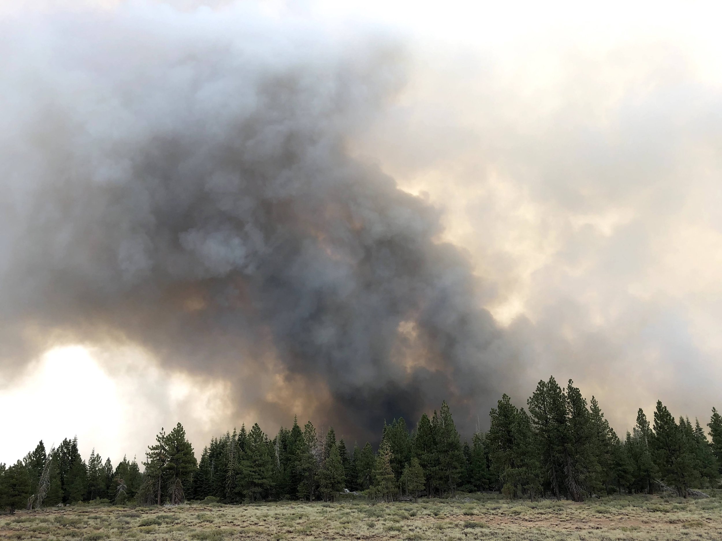
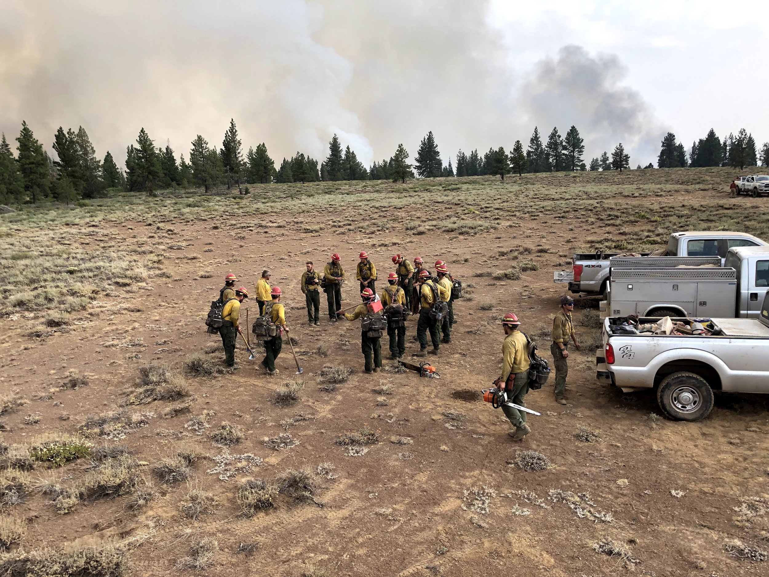
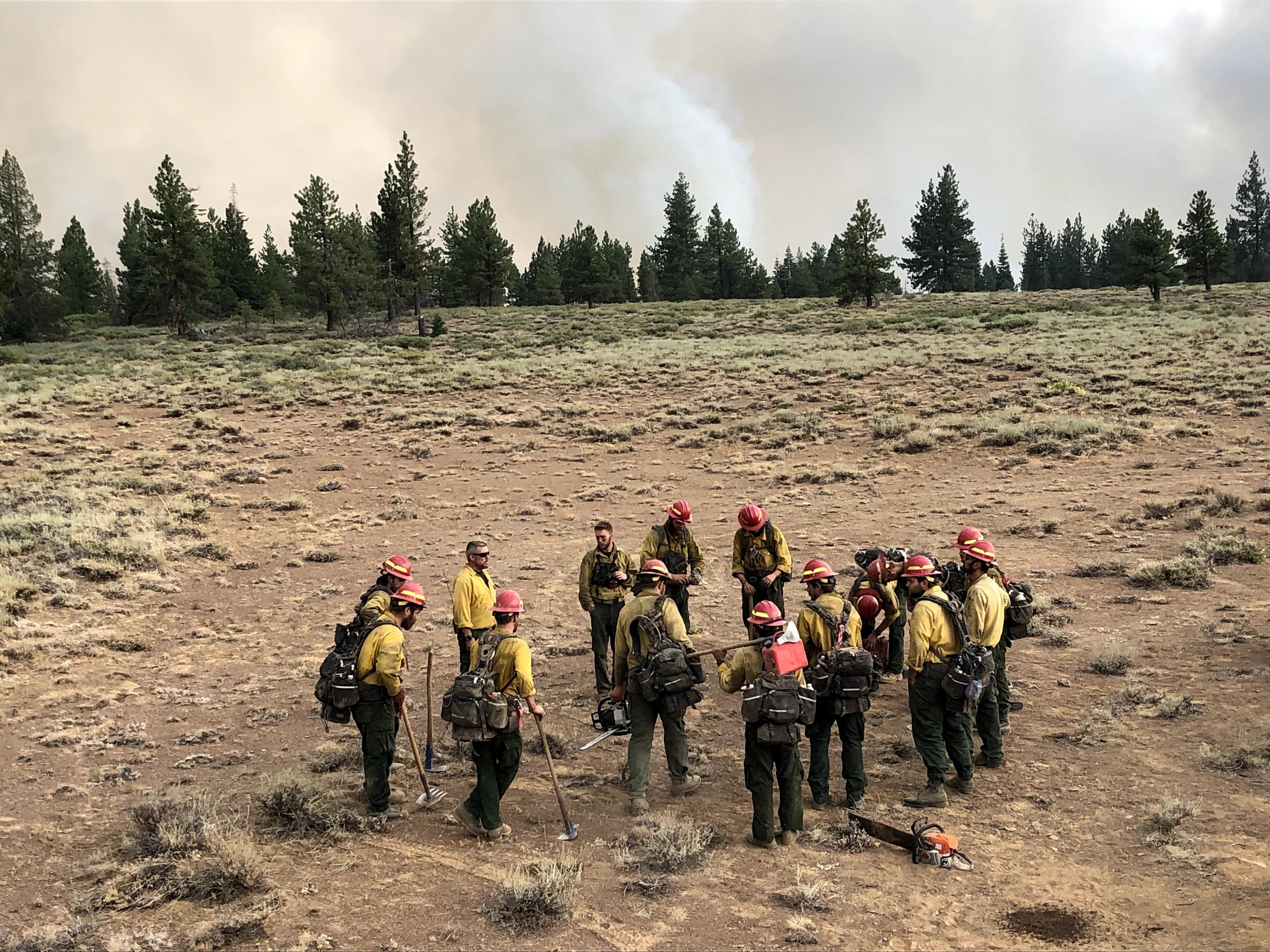
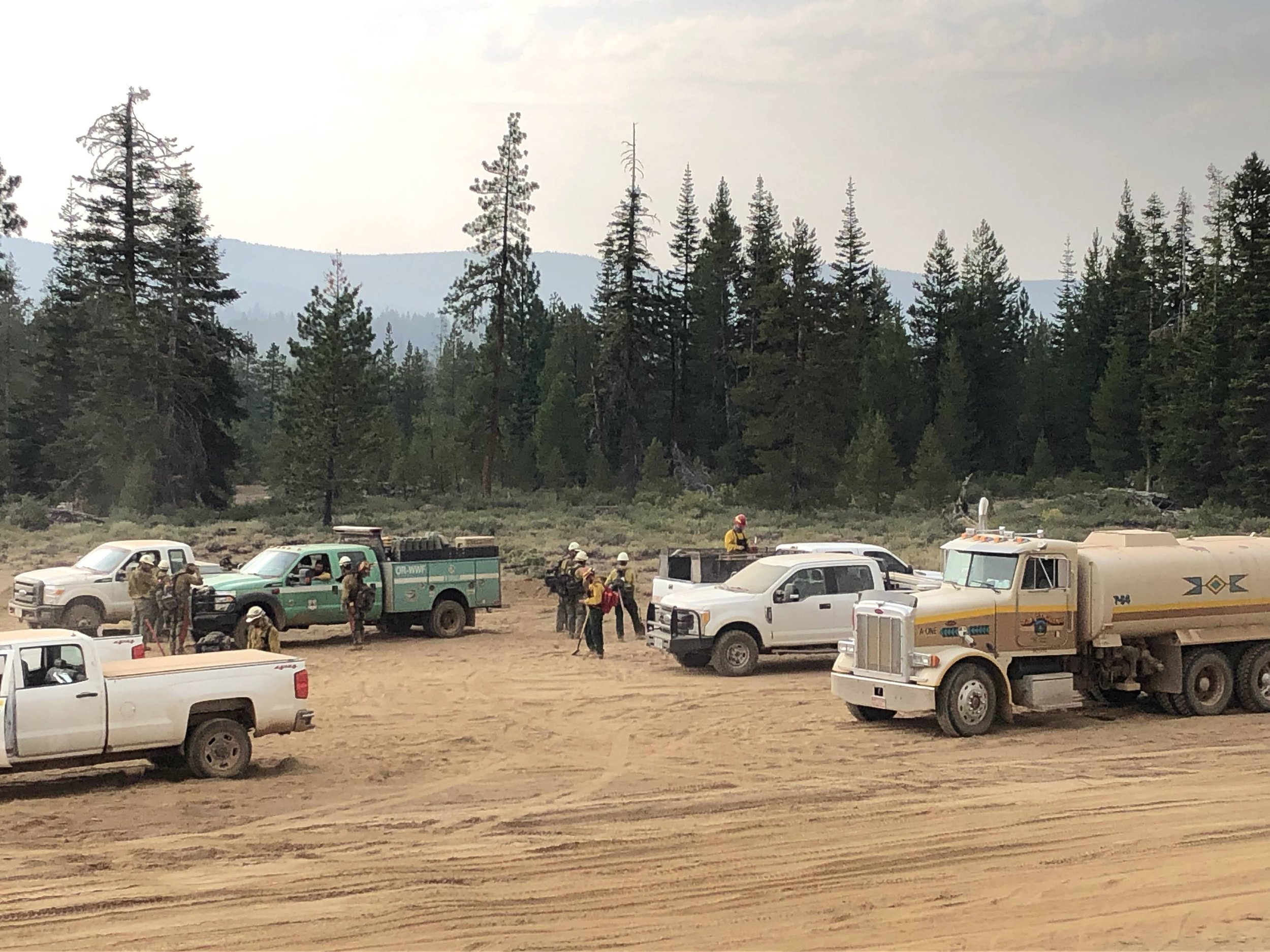
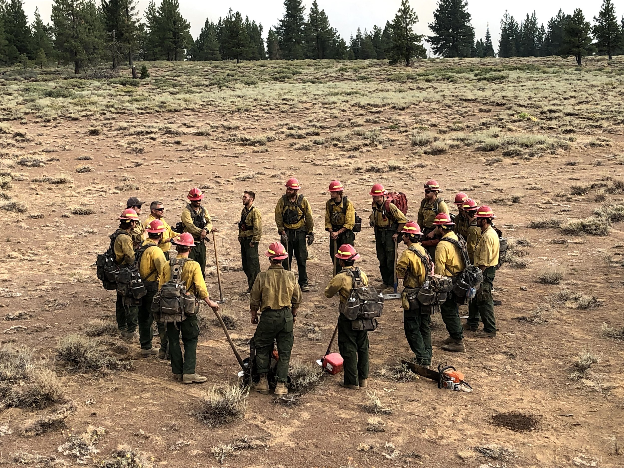
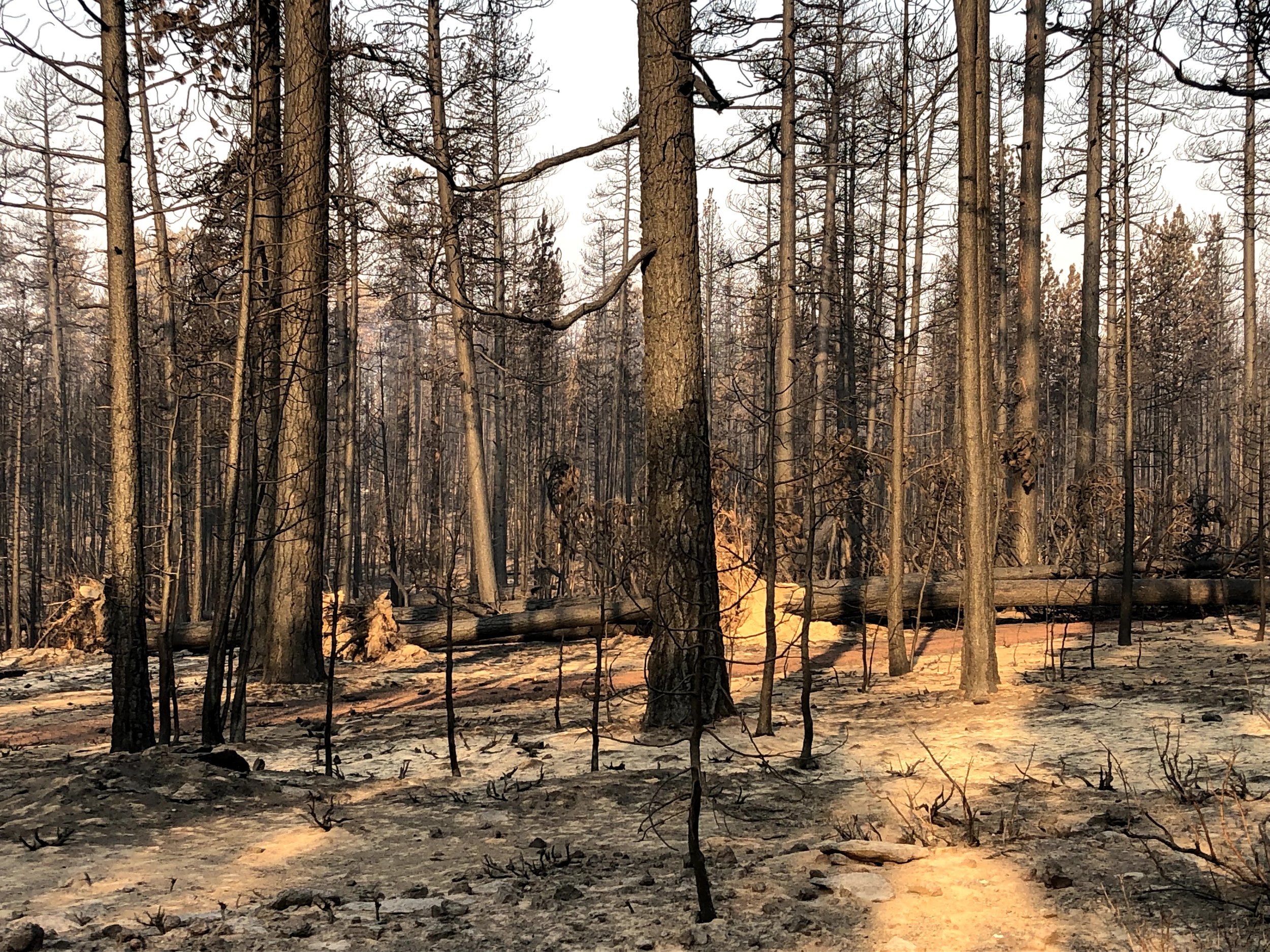
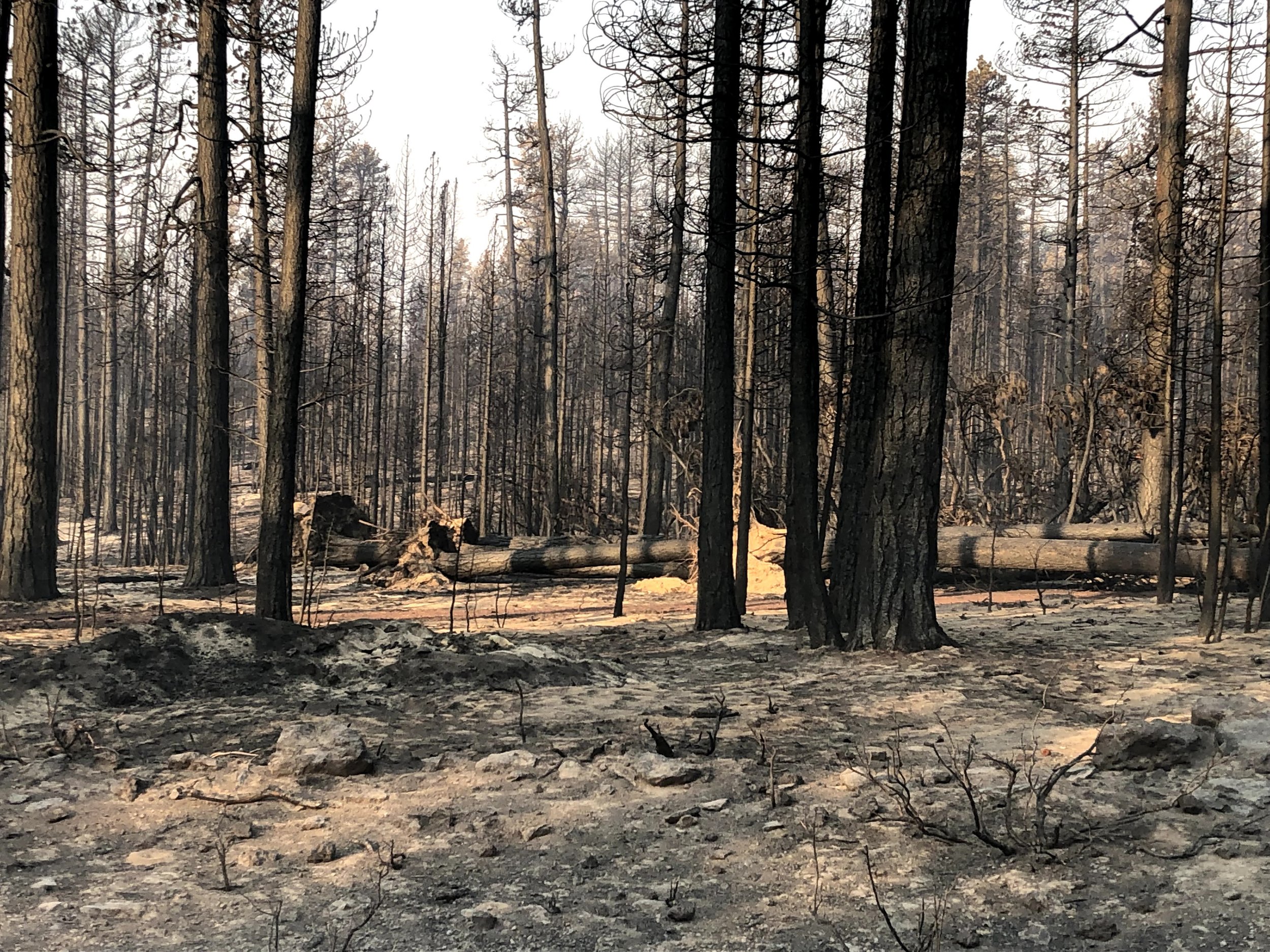
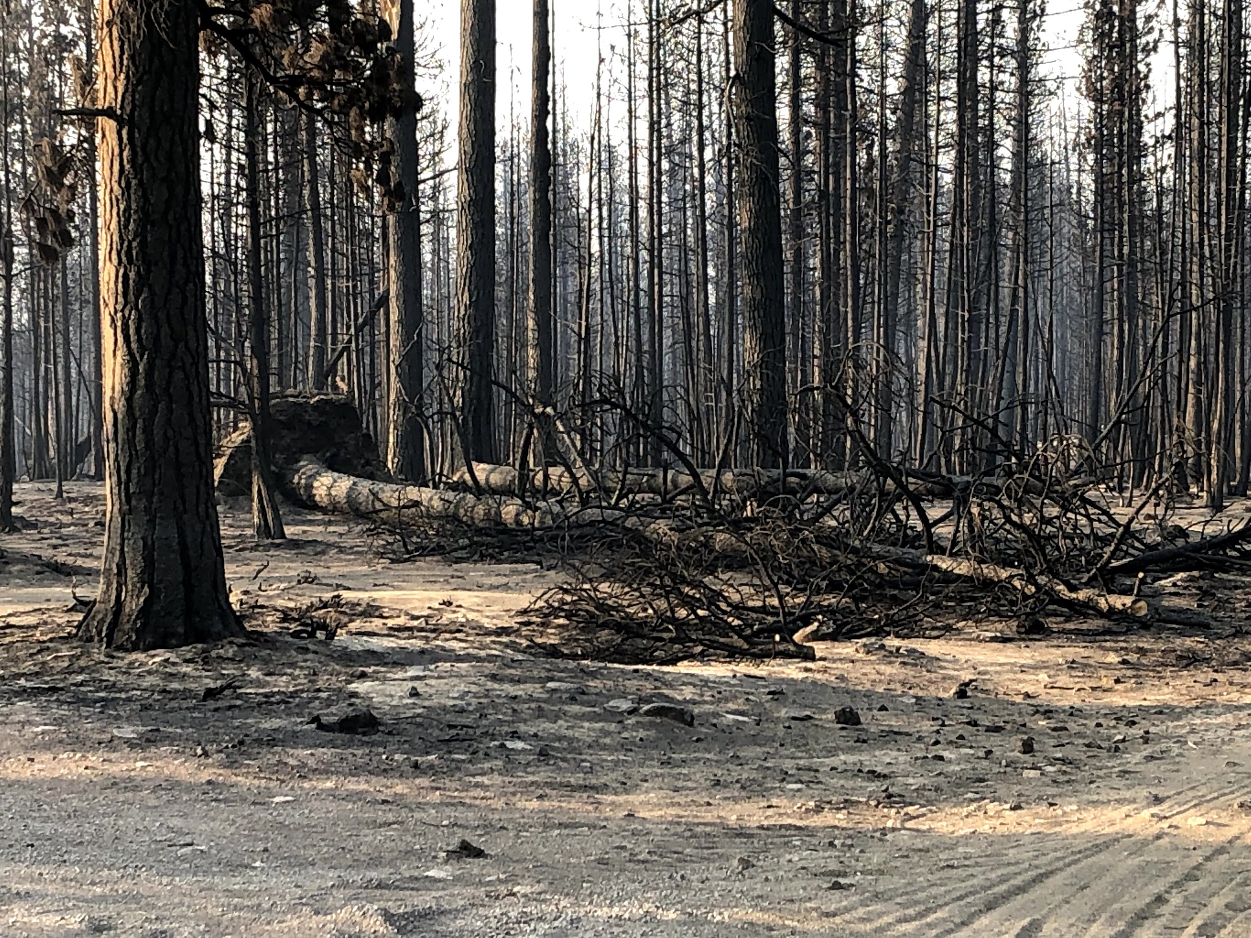
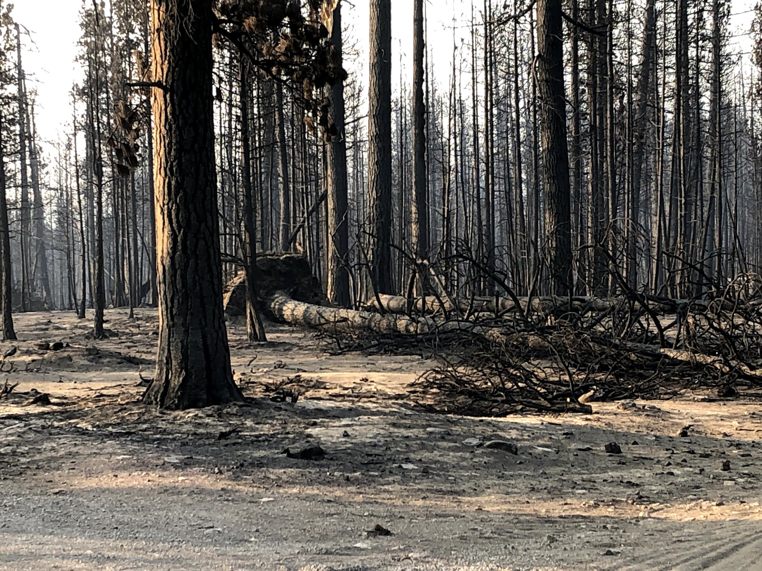
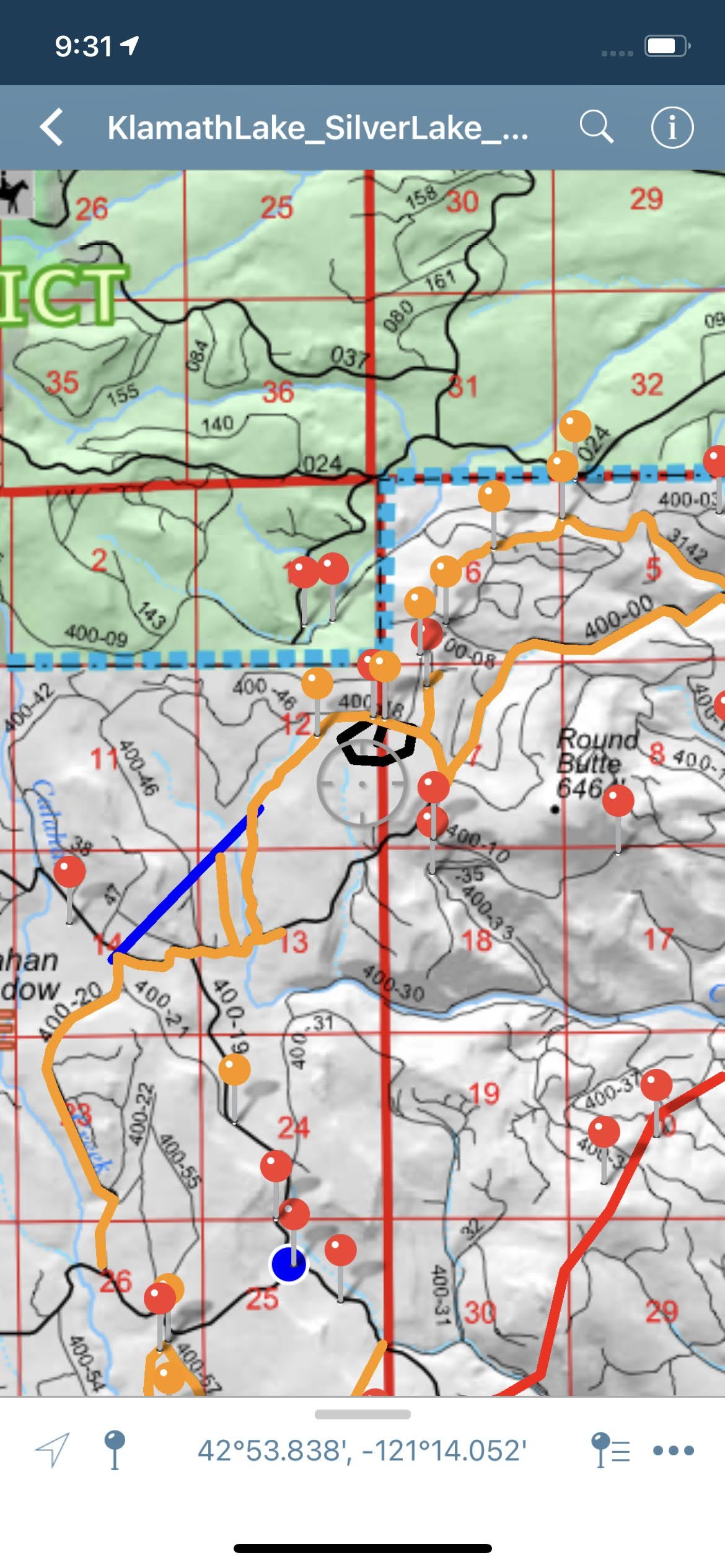
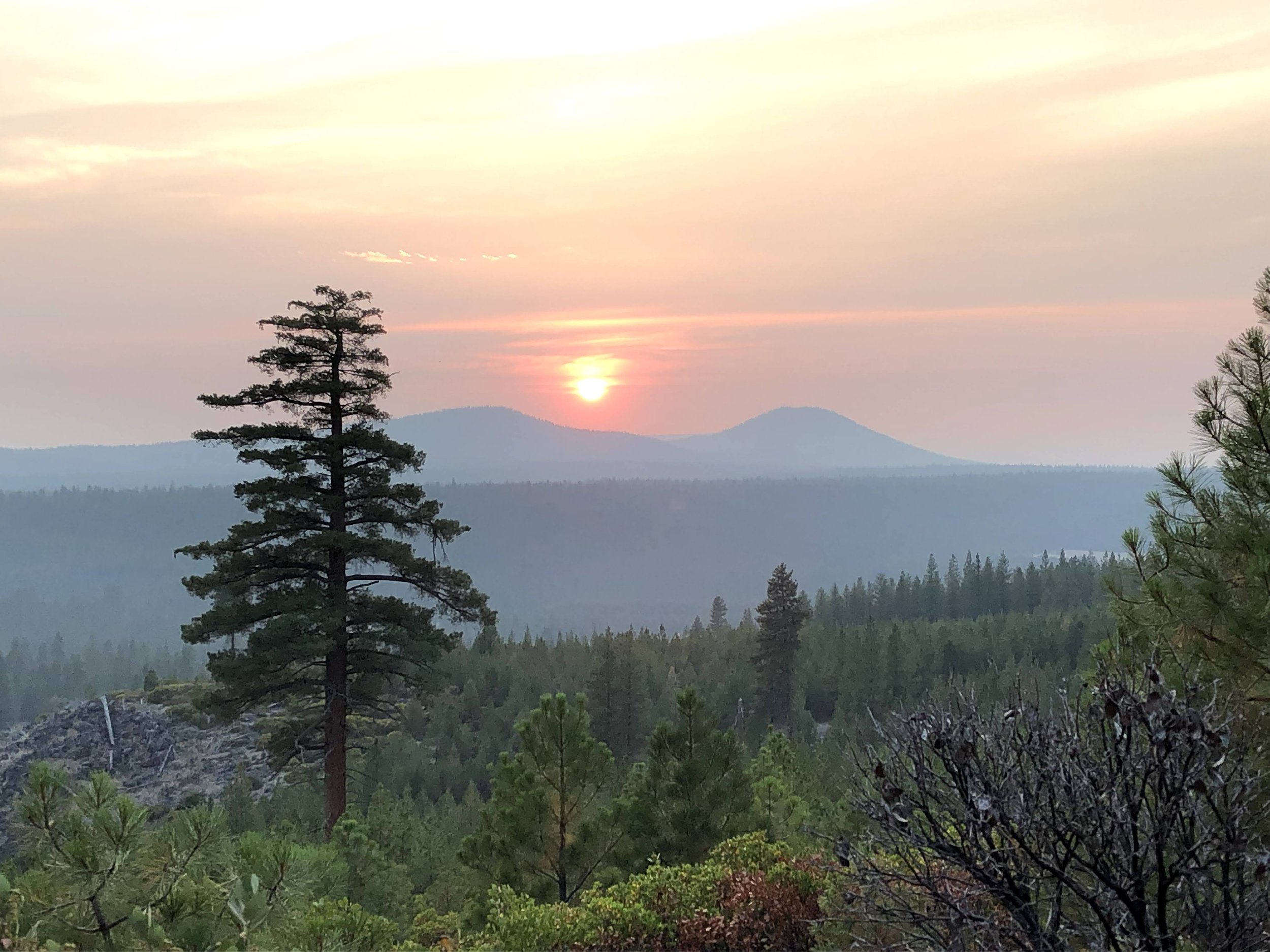
These are photos I took while working on the fire. I operated a skidgine on the bootleg fire, just 6 miles north of my home.