Understanding the Importance of
Satellites and their Uses
Geodesy Satellites
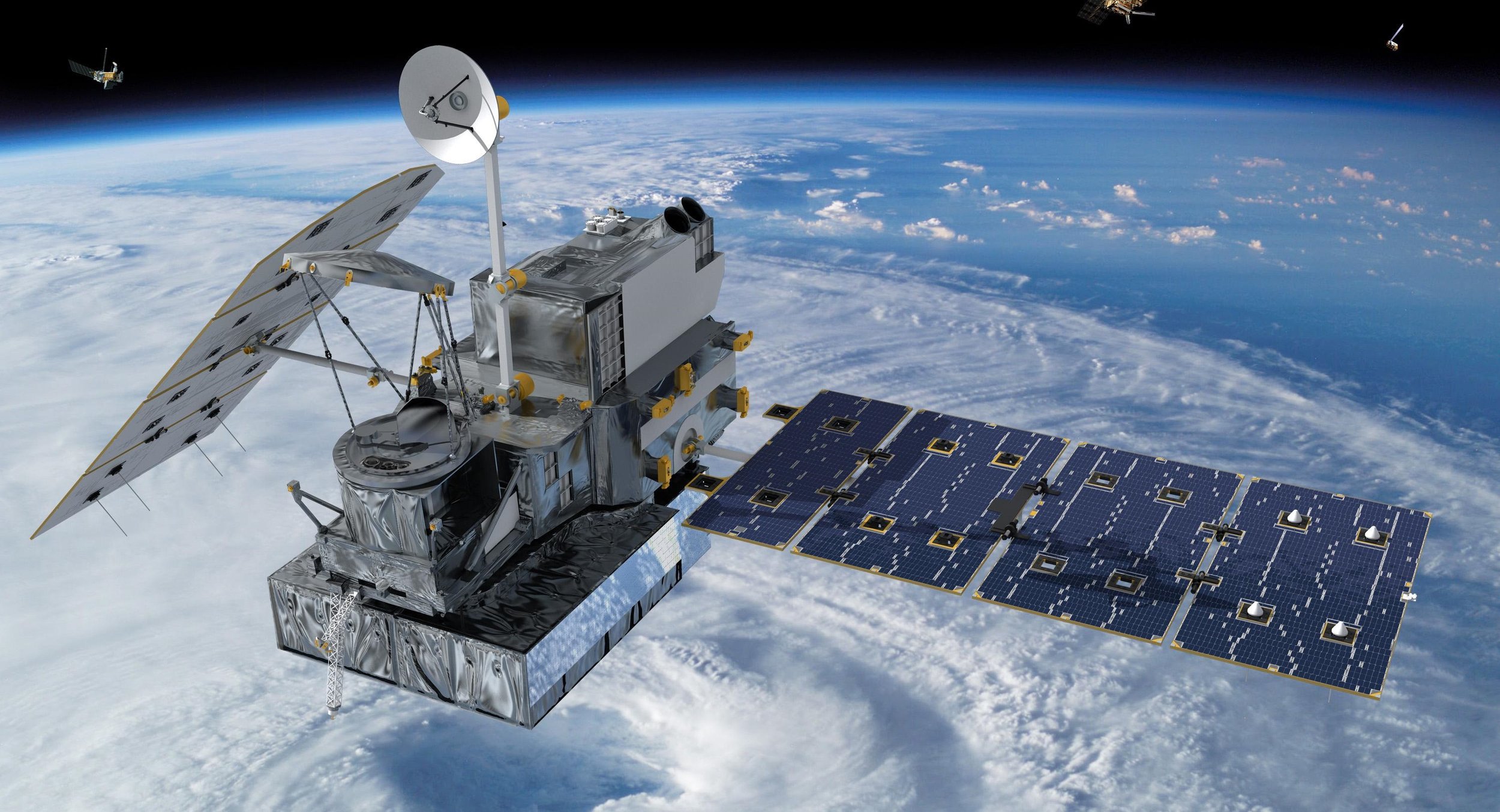
Global Navigation Satellite System (GNSS)
Elon Musk, are you visiting this page?
When you enable location on your smartphone, you’re tapping into GNSS. Every day, our GPS receivers leverage the 35-satellite system to pinpoint our exact position on Earth.

Image Credit: NASA/JPL
Shuttle Radar Topography Mission (SRTM)
SRTM sculpted a 30-meter terrain model of Earth using two radar antennas and interferometry. Onboard the space shuttle Endeavour, it only needed 11 days to collect the necessary data.

Image Credit: NASA/JPL
Gravity Recovery and Climate Experiment (GRACE)
This satellite tag team chases each other in the same orbit. By measuring each other’s tiny shifts, they know where gravity pull is stronger on Earth.
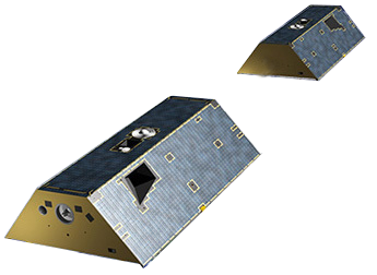
Image Credit: NASA/JPL
Gravity Field and Steady-State Ocean Circulation Explorer (GOCE)
GOCE specializes in measuring Earth’s gravity field and ocean behavior with unprecedented detail. By using highly sensitive gradiometers and accelerometers, it accomplishes this feat.

Image Courtesy of ESA/Airbus & Defense
Magnetospheric Multiscale Mission (MMS)
MMS specializes in the magnetosphere. In a tetrahedral formation, it consists of four identical space crafts. In unison, they map the interaction between the sun and Earth’s magnetic field.
Image Credit: NASA
Advanced Land Observation Satellite (ALOS)
ALOS-1 sculpted the world’s most precise elevation model at 5-meter resolution. Now, ALOS-2 has several upgrades such as L-band PALSAR radar and stereo mapping (PRISM).

Image Credit: JAXA
TerraSAR (TanDEM-X)
TerraSAR and TanDEM-X are twin German satellites. In tandem, they carved out the unrivalled WorldDEM using X-band radar. Now, we use it for disasters, earthquakes and the environment.

Image Courtesy of Airbus & Defense
Mars Orbiter Laser Altimeter (MOLA)
MOLA is the reigning monarch of Mars. By scanning the topography, this interplanetary mission has found ancient river beds weaving through the Martian surface.
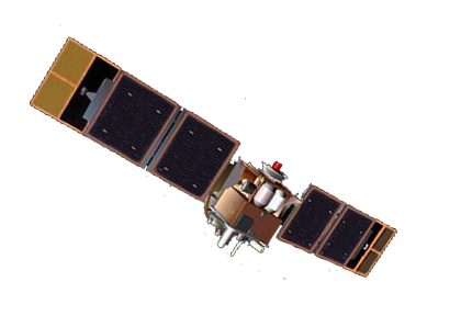
Image Credit: NASA
Satellites for Oceans
Joint Altimetry Satellite Oceanography Network (JASON)
JASON’s altimeter is responsible for mapping ocean floor bathymetry. This upgraded version of TOPEX/Poseidon monitors rising sea levels, which is a by-product of climate change.

Image Credit: NASA
SeaStar (Orbview-2)
Biologists uses SeaStar to quantify color change from chlorophyll produced by marine plants. Like Sea-Viewing Wide Field-of-View Sensor (SeaWIFS), it’s key for ocean biology.

Image Credit: NASA
QuickSCAT
Surfers choose QuickSCAT because it’s purpose is to measure sea winds and direction. But only for ice-free oceans does its scatterometer work for.

Image Credit: NASA
Soil Moisture and Ocean Salinity (SMOS)
SMOS weighs in on soil moisture and ocean salinity through its coarse passive instrumentation. Overall, it enhances our knowledge of both land and ocean processes.

Image Credit: ESA
ICESat
Ice Sat has made over 904 million measurements of the Earth’s surface. In fact, it was the first space-borne laser altimeter (GLAS) to capture everything from forest heights to ice thickness.
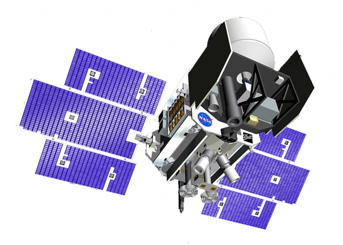
Image Credit: NASA/JPL-Caltech